Download
1 / 15
150 likes | 302 Views
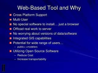
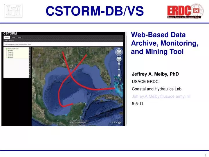
CSTORM -DB/VS. Web-Based Data Archive, Monitoring, and Mining Tool. Jeffrey A. Melby, PhD USACE ERDC Coastal and Hydraulics Lab Jeffrey.A.Melby@usace.army.mil 5-5-11. CSTORM -DB/VS. Goals Long-term archive/database of measured and modeled coastal storm data Real-time data streaming

E N D
CSTORM-DB/VS Web-Based Data Archive, Monitoring, and Mining Tool Jeffrey A. Melby, PhD USACE ERDC Coastal and Hydraulics Lab Jeffrey.A.Melby@usace.army.mil 5-5-11
CSTORM-DB/VS • Goals • Long-term archive/database of measured and modeled coastal storm data • Real-time data streaming • Easily accessible data; search, browse, visualize • Contextual data products and tools that support federal decision making • Risk management/assessment/communication • Project design and evaluation • Emergency management, operations
CSTORM-DB/VS CSTORM-VS Web App with Google Earth Plug-In USACE KML and Data Servers External KML and Data Servers CSTORM Data Processing and Visualization System Desktop PC Personal Google Earth App Coastal Storm HDF5 Archive CSTORM-DB Storm Server Coastal Storm Database
CSTORM-DB/VS Proof-Of-Concept System, 2010 • Storm mining tool with Google Earth interface to data and products • 43 TB RAID NAS for archive • HDF5 archive of meteorological, ADCIRC/STWAVE data • Structure, deflator/inflator tools, metadata search tools • Model grid, bathymetry, setup, input, output, results • Gulf of Mexico LACPR, MSCIP hurricanes • Historical measured waves, water levels, met data • Database • Summary information for hurricanes - hurricane track, pressure, wind, wave, max wind, max wave and max water level data • Example graphical products: wind, wave, water level color fill contour maps, tracks, vector plots – 3 storms • Animations of color-fill contour maps – 3 storms • Fast search and extraction capability of summary storm info • Save points from model time series, 2D plotting of time series • Storm query tool based on landfall location, min central pressure, wind speed • Web links: NOAA/USGS/USACE gage data, real-time data • Any KML: New Orleans levee GIS and BFE water level contour
Data Archive HDF5 Archive: Compact efficient storage of SMS, CSTORM-MS modeled data (setup, input, results). Fast search, import and export capability.
Station Information View Plots, Data
Track Information Max. Water Elevation Max. Velocity Max. Wind Velocity Water Elevation
O L p a y t e i r o n s Layers Bathymetry Model Grid Data Stations Live Stations Storm Tracks Refresh Update Live Stations Storm Options Storm001 > Max. Water Elevation Max. Velocity Max. Wind Velocity Water Elevation Refresh Contour plots
Favorites - Stations - East Bank West Bank New Canal Shell Beach Grand Isle MS River East MS River West Amerada Pass Station New Layer Options 12 20 Storms + 10 12 Display Plot Value Vector 30 20 minutes since last update….. KML files, real-time measurements Parameters Water Level - Predicted Measured Precipitation Waves - Wave Height Wave Direction Peak Wave Period Average Wave Period Winds - Wind Speed Wind Direction Rate of Change 26 Display Plot Value Vector Refresh Update Stations Update Live Stations
FY11 Capabilities • Archive: • HDF5 data archive to include measured data, wind fields, modeled storms, metadata, data standards • XMDF (ERDC HDF5 standard) compatibility with SMS, etc • Administration Module: • Archive/database viewing, importing, exporting, and general data management • Database • Mongo-DB • 12-day storm time series of all synoptic parameters • User Interface Module: web app with layered GUI surrounding Google Earth plugin • Data storage hardware system • Publish tool to USACE web portal
FY11 Capabilities Analysis Capabilities • Regional context from pulldown menu (State, District, FEMA) • Storm list by region • Google Earth with regionalization capability • Region-aware display of pre-processed data products • Plotting Module: Planview and 3D plots, 2D time series plots • Semi-transparent blue water Google Earth flood map • Extremal analysis module • Wave, wind and water level analysis module • Color/icon code gage sites to indicate gage type, data type and data availability. • Color code gages not presently operating • Ice data visualization
FY11 Capabilities Data • FEMA Reanalysis Data • Region V (Great Lakes) • Region IV, VI, VII (GoM) • Region III • South Pacific SWIMS Data • Storm summary for all coasts (HURDAT, new summary) • PBL, CFSR, other modeled meteorological data • ADCIRC (pre and post-coupled), STWAVE, WAM… • Historical measurements (waves, Met, WLs, stream flow) • Ice • General storm-specific information