Download
1 / 17
170 likes | 286 Views
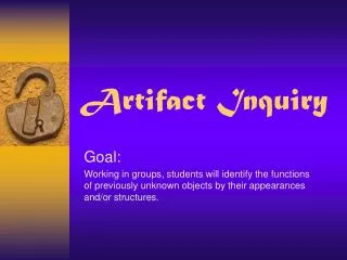
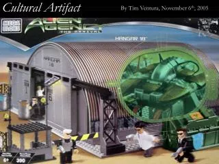
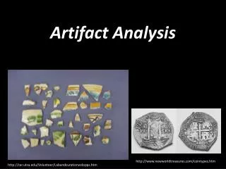
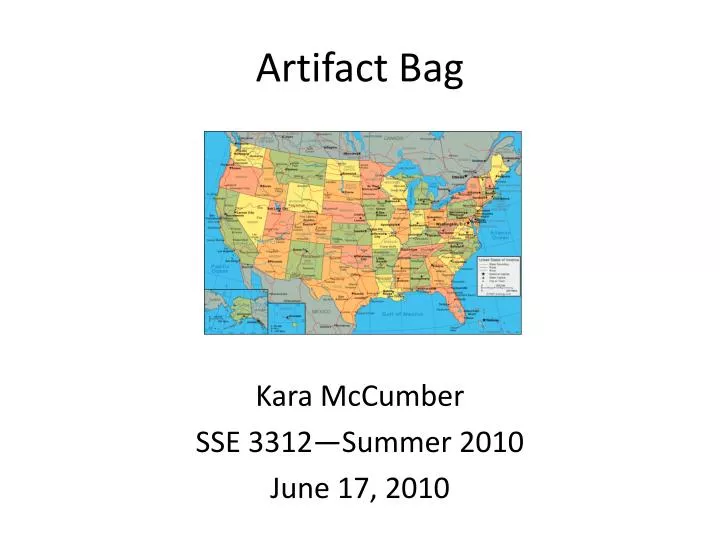
Artifact Bag. Kara McCumber SSE 3312—Summer 2010 June 17, 2010. Small portion of interactive floor map of a city. F L O R I D A. Map of. Use this map key to help students understand what a “key” actually is when talking about a map. .

E N D
Artifact Bag Kara McCumber SSE 3312—Summer 2010 June 17, 2010
F L O R I D A Map of
Use this map key to help students understand what a “key” actually is when talking about a map.
Aerial photographs can be taken from many different angles. These photographs are compared by cartographers so accurate and detailed maps can be created of different territories. These types of maps are called orthophoto maps.
Video of the Continents http://www.teachertube.com/viewVideo.php?video_id=123857 Though I must admit the video is a tad on the corny side, it will definitely help students remember the continents. The song lyrics go along to the tune to “Are You Sleeping?” and is quite catchy and quickly picked up. This would be a great way to either introduce the seven continents or act as a reminder for the students.
The Fifty Nifty United States http://www.youtube.com/watch?v=k_HeLofy7IE Another fun and creative video (yes, a little cheesy as well) to help students remember something—the 50 states that make up the United States. A map of each one is shown as the song goes through each state alphabetically. There are maps of the United States, as well as the original thirteen colonies. Also a catchy song
Maps A short little poem that sums up maps and ties them in to language arts… Maps help us figure out where we need to go, which states we have visited, and which we’d like to know. Maps show lakes, mountains, rivers, north, south, east, and west. Maps show parks, beaches, cities, But do not pick the best. See how our nation lies between the Atlantic and Pacific? Maps name all four oceans— they’re wonderfully specific! -Carol Weston
Websites • http://earth.google.com/ This website will let you put in any address and then zooms into it. Students can see where the location is in relation to other locations, especially states, countries, and even continents. • http://maps.google.com/ Another website that lets students pin-point a location and see a map of its surrounding areas. They can choose a beginning and ending location and see the map of streets and states they must travel to in order to reach their destination. • http://java.nationalgeographic.com/studentatlas/MapMachine Student Edition (National Geographic Student Atlas) A great website that is more than maps. Here, students can find country and culture profiles, photo galleries, and even history on different countries—all by using an interactive map. The website allows students to enter a location and then see a map of it and its surrounding areas.
Websites Continued… • http://www.lib.utexas.edu/maps/florida.html The University of Texas at Austin (Perry-Castañeda Library Map Collection) This website also has all kinds of maps (base, outline, reference). However, these ones are all of Florida. There are major city maps, historical city maps, maps of national parks, monuments, and historical sites, etc. • http://www.yourchildlearns.com/us_map.htm The CIA World Fact Book (United States Map) This is another fun website for both students and teachers. Not only does it have maps of all of the countries in the world, but it has map puzzles, an online atlas map of the United States, an even a place to create your own US physical features map. • http://www.kidsgeo.com/geography-for-kids/0027-map-key-and-scale.php Geography for Kids (The Key to Understanding Maps) Awesome interactive website that helps kids understand what a map key is and how to use it. There are also different topics dealing with maps like how they are useful, different types of scales, and the different types of maps that exist.
Zoom IstvanBanyai. USA. Penguin Group: 1998. This truly engaging wordless book lets children use their imagination and discover that not everything is always what it seems. Zoom from a farm to a ship to a city street to a desert island and when you think you know where you are, guess again. Though the book does not focus on maps, it does show children how so many small parts come together to create one whole—just as all of the states come together to create America, countries come together to create continents, and so on.
Flat Stanley Jeff Brown. HarperCollins: 2003. After a bulletin board falls on Stanley while he is sleeping, he finds that being flat has its advantages. Use Flat Stanley as a fun project for students to track their own Stanley as he travels across the state, or even the country!
National Geographic Student Atlas of the World This award winning atlas has all kinds of photographs and graphics of our changing planet, maps that reflect modern borders, and fully updated essays and statistics. A stunning view from space introduces each continent, and full-page, full-color maps represent its physical and political make-up, its climate and precipitation, and its population and predominant economies. By National Geographic - National Geographic Society (2009)
There's a Map on My Lap!: All About Mapsby: TishRabe The Cat in the Hat introduces beginning readers to maps–the different kinds (city, state, world, topographic, temperature, terrain, etc.); their formats (flat, globe, atlas, puzzle); the tools we use to read them (symbols, scales, grids, compasses); and funny facts about the places they show us (“Michigan looks like a scarf and a mitten! Louisiana looks like a chair you can sit in!”).