Download
1 / 19
190 likes | 306 Views
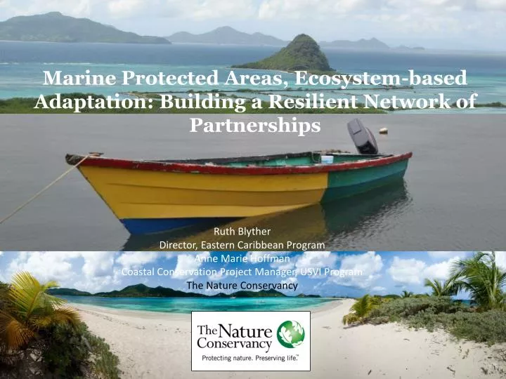
Marine Protected Areas, Ecosystem-based Adaptation: Building a Resilient Network of Partnerships. Ruth Blyther Director, Eastern Caribbean Program Anne Marie Hoffman Coastal Conservation Project Manager, USVI Program The Nature Conservancy. Global analysis. People at Risk & Reefs at Risk.

E N D
Marine Protected Areas, Ecosystem-based Adaptation: Building a Resilient Network of Partnerships Ruth Blyther Director, Eastern Caribbean Program Anne Marie Hoffman Coastal Conservation Project Manager, USVI Program The Nature Conservancy
Global analysis People at Risk & Reefs at Risk Reefs at Risk World Risk Index Low Medium High Very High Very Low Low Medium High Very High # of People Living Below 10m and in Reef Zone
Caribbean Challenge InitiativeCaribbean Political and Business Leaders
Building an integrated view of climate and disaster risks Marjo Aho Ecological Vulnerability Socio-Economic Vulnerability Total Vulnerability
Nature’s Services Integrated vulnerability Exposure Sensitivity Adaptive Capacity Potential Impact Vulnerability
Increase Adaptive capacity Reduce Sensitivity
Socio-Economically Vulnerable Communities DRAFT DRAFT DRAFT Critical Infrastructure & Facilities Sensitivity Index - Fire stations - Roads - Emergency Shelters Social Sensitivity Index - Age - Access to radio/internet Adaptive Capacity Index - Education - Health care - Income
Mangrove Vulnerability Framework • Where could mangroves potentially move? • Which mangroves are most/least vulnerable to SLR?
Mangrove Vulnerability Index = Migration index * 2 + Shape + Size + Openness + SLR Exposure + Habitat type + Species Richness + Watershed index LOWER HIGHER
Facilitating an understanding of climate and disaster risk Photos by J Castano
Developing integrated adaptation and disaster risk reduction plans + Participatory mapping Science Community surveys ACTION PLAN
Pilot Site WorkGrenville Area, Grenada Opportunities • Ideal situation to study wave attenuation, reduce flooding impacts and inform reef engineering solutions • Opportunity to work on both reef and mangrove solutions • Some interest from large fishing community and community involvement on implementing action plans • Strong partner collaboration: GFC, Red Cross, fishers • Government is already working with us via Physical Planning and Fisheries who are doing excellent work • Opportunities for further funding from Caribbean Development Bank • Short term goals: Building on VCA and P3DM, mangrove planting at telescope • Long term goals: Mangrove island, fishers village/livelihood actions
All Connected in a Global Decision Support System WWW.CoastalResilience.Org