Download
1 / 25
250 likes | 422 Views
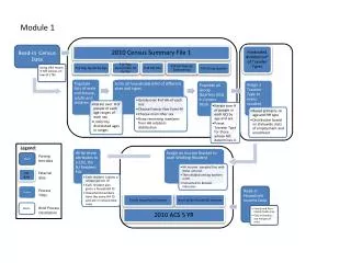
2010 Census Summary File 1 Data Engine. MD State Data Center Affiliate meeting December 10, 2012. Summary File 1 DVD. 2 DVD set – US Summary (all states/ all geographies) & National level only User’s Guide on Disc1 with instructions

E N D
2010 Census Summary File 1Data Engine MD State Data Center Affiliate meeting December 10, 2012
Summary File 1 DVD • 2 DVD set – US Summary (all states/ all geographies) & National level only • User’s Guide on Disc1 with instructions • Must install proprietary software ANDdata on your computer! • Data are in compressed proprietary format and can only be used with the software • Can do radius profile (need to provide lat/long)
URLs for Address Latitude and Longitude • http://geocoder.us/ • http://stevemorse.org/jcal/latlon.php NOTE: SF1 DVD does NOT have capability to do radius profile from an address without having latitude and longitude coordinates
Application Tabs • WORKSPACE • Can save selections to a workspace and retrieve later • PICK GEOGRAPHY • Select the geographic area of interest • OUTPUT • Save to a file or to a temporary report; various file options • VARIABLES • Pick entire tables or individual items from table
Database is the file you are using (2010 SF1) Assigning a workspace is optional; if you want to reuse the variables or geographies later you should create one
Select Geography Tab Places by State
Select a file such as xls, csv, html, db, shapefile or a print ready report
Click on latitude and longitude and then the select button to get the coordinates for Towson CDP
To get a radius profile click on the File dropdown and select “Add Radius” Enter the coordinates from your report for Towson or if you have selected a specific address you must look up the coordinates from a website
Your previous selections for radii are saved here under “Pick Geography”
Output Tab Select a file such as xls, csv, html, db, shapefile or a print ready report
Summary Report for Towson CDP Individual reports for Towson CDP and the 1,3,5 mile radii