Download
1 / 19
200 likes | 317 Views
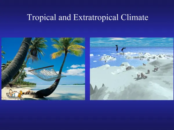
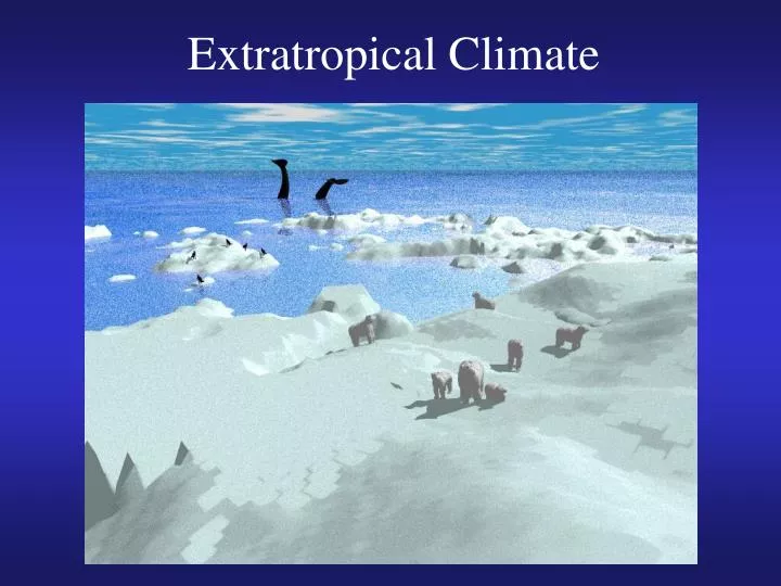
Extratropical Climate. Outline. Mean state Dominant extratropical modes Pacific/North American Oscillation North Atlantic Oscillation Arctic Oscillation Antarctic Oscillation Polar lows (polar hurricanes) Polar sea ice and ice-albedo feedback

E N D
Outline • Mean state • Dominant extratropical modes Pacific/North American Oscillation North Atlantic Oscillation Arctic Oscillation Antarctic Oscillation • Polar lows (polar hurricanes) • Polar sea ice and ice-albedo feedback • Tropical-extratropical interaction
Mean State • Westerly winds and jet streams • A constant Polar Vortex
Mean State: Antarctic polar vortex • Transport and mixing of trace gases • Important for ozone hole
The Pacific/North American Oscillation (PNA) • One of the most prominent modes of low-frequency variability in the Northern Hemisphere extratropics. • Is associated with a wave train extending from the vicinity of Hawaii to north Pacific to western Canada to southeastern US. • The primary way ENSO affects Northern Hemisphere extratropical climate. • The corresponding index shows an upward trend. Z500mb
The North Atlantic Oscillation (NAO) • The NAO is the dominant mode of winter climate variability in the North Atlantic region ranging from central North America to Europe and much into Northern Asia. • The NAO is a large scale seesaw in atmospheric mass between the subtropical high and the polar low. • The corresponding index varies from year to year, but also exhibits a tendency to remain in one phase for intervals lasting several years. Z1000mb
The two phases of NAO: • The positive phase shows a stronger than usual subtropical high pressure center and a deeper than normal Icelandic low.The increased pressure difference results in more and stronger winter storms crossing the Atlantic Ocean on a more northerly track.This results in warm and wet winters in Europe and in cold and dry winters in northern Canada and Greenland. The eastern US experiences mild and wet winter conditions. • The negative phase shows a weak subtropical high and a weak Icelandic low.The reduced pressure gradient results in fewer and weaker winter storms crossing on a more west-east pathway.They bring moist air into the Mediterranean and cold air to northern Europe. The US east coast experiences more cold air outbreaks and hence snowy weather conditions.Greenland, however, will have milder winter temperatures.
The Arctic Oscillation (AO) • The Arctic Oscillation refers to opposing atmospheric pressure patterns in northern middle and high latitudes.The oscillation exhibits a "negative phase" with relatively high pressure over the polar region and low pressure at midlatitudes (about 45 degrees North), and a "positive phase" in which the pattern is reversed. • There are some similarities between AO and NAO.
In the positive phase, higher pressure at midlatitudes drives ocean storms farther north, and changes in the circulation pattern bring wetter weather to Alaska, Scotland and Scandinavia, as well as drier conditions to the western United States and the Mediterranean. Frigid winter air does not extend as far into the middle of North America as it would during the negative phase of the oscillation. This keeps much of the United States east of the Rocky Mountains warmer than normal, but leaves Greenland and Newfoundland colder than usual. • Weather patterns in the negative phase are in general "opposite" to those of the positive phase.
The Antarctic Oscillation (AAO) • Similar to the Arctic Oscillation. The two together are called the “annular modes”. • Time series since 1948.
Polar Lows (“Arctic hurricanes”) • Small cyclones forming over open sea during the cold season within polar or arctic air masses • Typically several hundred kilometers in diameter, and last on average only a day or two. • Tend to form beneath cold upper-level troughs or lows when frigid arctic air flows southward over a warm body of water. • They often dissipate just as quickly, especially upon making landfall. • Show spiral or comma shaped patterns of deep clouds, sometimes with an inner "eye" similar to those seen in tropical cyclones. Convective cloud bands occupy the surroundings. May possess warm cores. Seldom possess hurricane strength winds. • Difficult to predict even with current high resolution models, because they usually occur in remote oceanic regions where data are too sparse to define the model initial state.
Polar Sea Ice • Sea ice cycle: Formation, growth, deformation, disintegration • Dynamics: Wind stress Water stress
Tropical-extratropical Interaction • Zonal mean (3 cells) • ENSO • MJO • The interactions are mutual
Summary • Mean state: Westerly winds, jet streams, polar vortex • Dominant extratropical modes Pacific/North American Oscillation (PNA) North Atlantic Oscillation (NAO) Arctic Oscillation (AO) Antarctic Oscillation (AAO) • Polar lows (polar hurricanes) • Polar sea ice and ice-albedo feedback • Tropical-extratropical interaction