Download
1 / 6
70 likes | 83 Views
1816 Drawings of Church Street, Coleraine. The slides which follow show drawings of the houses on the north and south sides of the street in 1816. The drawings come from the Coleraine Book of 1816, commissioned by the Irish Society.

E N D
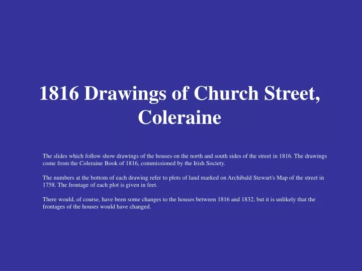
1816 Drawings of Church Street, Coleraine The slides which follow show drawings of the houses on the north and south sides of the street in 1816. The drawings come from the Coleraine Book of 1816, commissioned by the Irish Society. The numbers at the bottom of each drawing refer to plots of land marked on Archibald Stewart's Map of the street in 1758. The frontage of each plot is given in feet. There would, of course, have been some changes to the houses between 1816 and 1832, but it is unlikely that the frontages of the houses would have changed.
1816 Drawings of North Side of Church Street [Market Street to Rosemary Lane] The letter A and Nos. 6 to 9 refer to plots of land marked on Archibald Stewart's Map of the street in 1758. The frontage of each plot is given in feet. No. 6 [at the Rosemary Lane end of the drawing] was 40 feet, No. 7 was 16 feet, No. 8 was 19 feet, No. 9 was 37 feet and plot A, which was No. 10 on the map, was 42 feet. The 1834 Valuation Map for this section of the street is numbered 28 to 34 . Starting from Rosemary Lane [Park Street], the following persons appear to have lived here in 1832 - the house on the corner was to be let in 1832, then William Donaldson, George G. L. Carson, James Walker, John Hamilton, Alexander Fulton and Thomas Burley. See 1832 [Townland] Valuation for further details on these people & their houses at that time.
1816 Drawings of North Side of Church Street [Rosemary Lane to the Ramparts] Nos. 1 to 5 refer to plots of land marked on Archibald Stewart's Map of the street in 1758. The frontage of each plot is given in feet. No. 1 [at the Ramparts end of the drawing] was 189 feet, No. 2 was 82 feet, No. 3 no frontage* is given on the drawing, No. 4 was 16 feet and No. 5 was 47 feet. The 1834 Valuation Map for this section of the street is numbered 18 to 27. Starting from the two storey house beside the ramparts, the following persons appear to have lived here in 1832 - Sam King, then the church, then Robert McWilliams, Eneas McAllister, Robert Turbitt, Robert Thompson, James Curry, Robert Acheson, Miss Robb, and John Knox at the corner with Rosemary Lane. See 1832 [Townland] Valuation for further details on these people & their houses at that time. * The frontage given on the 1758 map for No. 3 is 44 feet. However this figure is not consistent with the frontages given in both the 1832 and 1859 valuations. The total figure for frontages in this part of the street is approximately 170 feet in both the 1832 and 1859 valuations. The total figure for 1758 is 189 feet, a discrepancy of 17 feet too much.
1816 Drawings of South Side of Church Street [New Row towards the Ramparts] Nos. 51 to 57 refer to plots of land marked on Archibald Stewart's Map of the street in 1758. The frontage of each plot is given in feet. No. 51 [at the New Row end of the drawing] was 37 feet, No. 52 was 29 feet, No. 53 was 31 feet, No. 54 was 30 feet, No. 55 was 30 feet, No. 56 was 29 feet, No. 57 was 37 feet. The houses in the drawing stop at No. 57 despite the fact that the 1758 map shows two further plots. The 1834 Valuation Map for this section of the street is numbered 8 to 17 However, Nos. 15, 16 & 17 were not included on this drawing. Starting from New Row, the following persons appear to have lived here in 1832 - Robert Given, Thomas & John McMullan, Dr. Robert Huston, Samuel Caskey & Robert Nevin, William Anderson, Daniel McGregor & Stuart Norris, Dr. John Boyd, John Boylan and Samuel Brown. The houses of Boylan and Brown and the Post Office next door to Dr. Boyd's house [the last house on the left of the drawing] are not shown on the drawing. See 1832 [Townland] Valuation for further details on these people & their houses at that time.
1816 Drawings of South Side of Church Street [Market Street to New Row] Nos. 11 to 15 refer to plots of land marked on Archibald Stewart's Map of the street in 1758. The frontage of each plot is given in feet. No. 11 [at the Market Street end of the drawing] was 38 feet, No. 12 was 32 feet, No. 13 was 32 feet, No. 14 was 32 feet and No. 15 was 33 feet. The 1834 Valuation Map for this section of the street is numbered 1 to 7. Starting from Market Street [ Diamond], the following persons appear to have lived here in 1832 - William Lynn, Thomas Liken & Robert Weir, John McGrotty, Daniel & John Given, Thomas & F. Hardy & Robert Allison, Joseph Warnock, and Hugh Bellas on the corner with New Row. See 1832 [Townland] Valuation for further details on these people & their houses at that time.