Download
1 / 23
340 likes | 974 Views
Ecological Assessment. Former Haverford State Hospital Property December 15, 2008. Project Goals. 1. Conduct Baseline Inventories Vegetation Selected wildlife (birds) Fish Macroinvertebrates Identify threats to natural features and assess ecological condition of site.

E N D
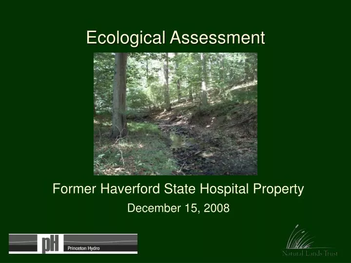
Ecological Assessment Former Haverford State Hospital Property December 15, 2008
Project Goals 1. Conduct Baseline Inventories Vegetation Selected wildlife (birds) Fish Macroinvertebrates • Identify threats to natural features and assess ecological condition of site. • Provide stewardship recommendations with consideration for public access and passive recreational uses.
Project Area 124 acres. 110 acres forested. Darby Creek Watershed. First order tributaries North and South Brooks feed into Darby Creek. Deep valleys along tributaries.
former Haverford State Hospital site Darby Creek Watershed Conservation Plan (2005) “This [Haverford State Hospital re-development] project constitutes a tremendous opportunity for Watershed goal achievement.” “…the site constitutes one of the last remaining relatively undeveloped islands of open space in the Watershed. As such, its open space functions and values, from water resources quantity and quality to biodiversity and habitat to air quality and aesthetics, are of tremendous importance and must be maximized.”
Seeps 5. Terrestrial shrubland (multiflora rose) 6. Old field / terrestrial meadow 7. Marsh / wet meadow 1. Red oak mixed hardwood / tuliptree-beech-maple forest 4. Sycamore-box elder floodplain forest 3. Red maple palustrine forest 2. Red maple terrestrial forest Vegetation
1937 aerial photograph (with red oak mixed hardwood forests) Invasive species impact 2008 vegetation
Stewardship Issue:Invasive Plant Species Most prevalent: Oriental bittersweet Multiflora rose Japanese honeysuckle Privet Grape (native) Corktree Mile-a-minute Porcelain-berry Less common but dominant in many areas: Garlic mustard Japanese stiltgrass Lesser celandine (South Brook) Japanese knotweed (Darby Creek)
Recommendations:Invasive Plant Species • Begin in areas with low invasive species impact (mature forests). • 1. Cut vines impacting canopy and understory trees (oriental bittersweet, porcelain-berry). • 2. Remove invasive trees (corktree) in upland forests and Japanese knotweed along Darby Creek. • Recruit volunteers to help control and monitor invasive plants. • Avoid creating additional forest gaps. Japanese knotweed
Barren understory Prominent browse line Stewardship Issue:Deer Overabundance The deer are eating the multiflora rose, spicebush, beech – species typically avoided.
Recommendations:Deer overabundance Reduce deer density to perpetuate a healthy native forest with diversity of native shrubs and wildflowers: 1 deer / 64 acres. 1. Continue use of sharpshooters for next few years to significantly reduce deer population to manageable levels. • Follow (as needed) with periodic use of sharpshooters or an annual controlled bow hunt - in more remote locations during defined days and times - to maintain population at desired level. 3. Educate the public about the effects of overabundant deer. Post signs informing public of hunting and consider installing deer exclosures.
Partially blocked culvert – North Brook From culvert under Route 476. Drainage bypassing silt fencing near Darby Road From old road to Darby Creek From Quadrangle parking Stewardship Issue:Water Quality
Recommendations:Water Quality • Stabilize, regrade, and replant eroded drainage areas to eliminate gullies and reduce further erosion. Secure necessary permits. 2. Work with Quadrangle community and Conservation District to explore options for decreasing channel flow to South Brook. 3. Regrade old access road along Darby Creek to drain water away from creek. 4. Consider replacing North Brook culvert. • Minimize trail use and other disturbances in riparian buffer zones (100 feet from creeks). • Monitor eroded drainage areas as Haverford Reserve is developed.
Remnants of ropes course ? Potential hazard trees near construction Remnants of dam Old railroad bridge Stewardship Issue:Hazards and Aesthetics
Recommendations:Hazards and Aesthetics • Conduct an assessment of hazard trees near areas of potential public use and address issues with trees posing a danger (certified arborist). • Remove attractive nuisances (old railroad bridge, dam, ropes course) and debris before opening park for public use.
Stewardship Issue:Meadow Woody encroachment 1971 2004
Recommendations:Meadow • Conduct a comprehensive botanical • inventory of the meadow with • frequent visits through the growing • season. • 2. Expand/restore the meadow to the • edge of the red maple forest (~3.5 • acres) by removing encroaching • woody vegetation from center • outward; consider managing using • prescribed fire. • 3. Limit frequent mowing to the area near the fire ring • and the trails. • Reroute existing trails and restrict future trails to edge • areas. Restrict camping to western and northern meadow borders.
Stewardship Issue:Trail Layout • Excellent opportunities for bird and wildlife watching, environmental education, access to scenic features. • Consider sensitive resources.
Sensitive Resource Areas: Marshes, seeps, riparian forest buffers; Areas with steep slopes bordering riparian corridors; Special Plant Resource Areas. Recommendations:Trail Layout • Restrict or minimize trail use in sensitive areas that include wetlands, water resources, steep slopes, and special plant resource areas. Existing trails in these sensitive areas can remain except in the Meadow where they should be moved to the outer expansion area. • Limit clearing for new trails by using existing rights-of-way such as the access road/sewer line along Darby Creek. • Limit trail use to foot traffic to minimize noise and disturbance in sensitive habitats. • Consider highlighting stewardship issues and interesting natural • features along the trail route.