Download
1 / 21

E N D
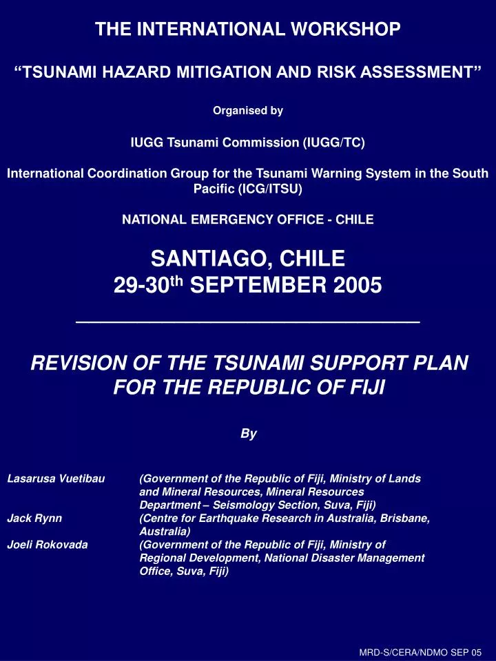
THE INTERNATIONAL WORKSHOP“TSUNAMI HAZARD MITIGATION AND RISK ASSESSMENT”Organised byIUGG Tsunami Commission (IUGG/TC)International Coordination Group for the Tsunami Warning System in the South Pacific (ICG/ITSU)NATIONAL EMERGENCY OFFICE - CHILESANTIAGO, CHILE29-30th SEPTEMBER 2005____________________________REVISION OF THE TSUNAMI SUPPORT PLANFOR THE REPUBLIC OF FIJIBy Lasarusa Vuetibau (Government of the Republic of Fiji, Ministry of Lands and Mineral Resources, Mineral Resources Department – Seismology Section, Suva, Fiji)Jack Rynn (Centre for Earthquake Research in Australia, Brisbane, Australia)Joeli Rokovada (Government of the Republic of Fiji, Ministry of Regional Development, National Disaster Management Office, Suva, Fiji) MRD-S/CERA/NDMO SEP 05
THE TSUNAMI HAZARD FOR FIJI • Fiji’s location in the Pacific Basin makes it susceptible to both earthquake and tsunami. • Fiji contains many small islands with coastal areas heavily populated by communities. • Most major cities and towns are located on the shorelines. • Ports of Entry – Suva, Lautoka, Labasa, Savu Savu • Agricultural cropping and practices are done at low lying and flat areas close to shorelines – both subsistence farming and export. • Hence, vulnerability to tsunami impact is high. • Historical record shows that several tsunamis have impacted upon Fiji Islands. • Tsunamigenic sources – local, regional, distant • Most devastating 1953 Suva earthquake and tsunami. Damage to Southeast Viti Levu – City of Suva and Environs MRD-S/CERA/NDMO SEP 05
CATALOGUE OF TSUNAMIS IN FIJI(IN PROGRESS)TSUNAMIGENIC SOURCES – EARTHQUAKE INDUCED SUBMARINE LANDSLIDE MRD-S/CERA/NDMO SEP 05
FIJI TSUNAMI SUPPORT PLAN (1)incorporatingFiji Tsunami Warning SystemCommunications PlanResponse Plan • Tsunami Support Plan currently in preparation (MRD – Seismology / CERA / NDMO) • One component of the SERMP – Suva Earthquake Risk Management Project • Through the SUVEQ 2002 earthquake and tsunami exercise MRD-S/CERA/NDMO SEP 05
FIJI TSUNAMI SUPPORT PLAN (2) • Being developed since 1994 under the SERMP • Initial Draft Plan proposed 1999-2000 • Revised Draft Plan currently in preparation 2003 • Impetus as a result of 1953 Suva earthquake and tsunami and recent devastating tsunamis in other Pacific Island Countries. • Fiji recognises the vulnerability of its islands to potential tsunami impact. • Vulnerability of Suva – capital city, hub of national business and commerce, home of Diplomatic Corps, hub for other Pacific Island Countries • Classifies LOCAL, REGIONAL, DISTANT tsunamis. • Incorporates: • Fiji Tsunami Warning System • Planned “TREMORS” system • Communications Plan • Per NOAA Communications Plan 1996, 1999 • Linking with PTWC • Internal Fiji communications • Response Plan • Contacts for key agencies • Key agencies responses • Communities responses • Evacuation • Emergency relief assistance • International assistance MRD-S/CERA/NDMO SEP 05
FIJI TSUNAMI SUPPORT PLAN (3) • Includes “Information Resource” Attachments: • Scientific information • Catalogue of Fiji tsunamis • Instrumentation in Fiji • Awareness • Community education • Training • Post-tsunami field surveys • Damage assessments • Bibliography (including maps and charts) • Tsunami modeling • Cognisance has been taken of: • Assistance from PTWC and ITIC, Honolulu • Oahu (Hawaii) Civil Defense Agency Tsunami Planning • Hawaii Civil Defense Agency • UNESCO Pacific Tsunami Warning Master Plan • British Columbia (Canada) Plan 2001 • TSP to be integrated into: • FIJI NATIONAL DISASTER MANAGEMENT ACT OF 1998 • FIJI NATURAL DISASTER MANAGEMENT PLAN OF 1995 MRD-S/CERA/NDMO SEP05
1953 SUVA EARTHQUAKE AND TSUNAMI (1)MAP OF TSUNAMI EFFECTS MRD-S/CERA/NDMO SEP 05
1953 SUVA EARTHQUAKE AND TSUNAMI (2) TSUNAMI EFFECTS • Tsunami Effects • wave action (SE Viti Levu, Suva Harbor, Lacala Bay, Tailevu, Coral Coast, Bega, Vatulele, Kadavu, Ovalau, Koro, Southern Vanua Levu) • Reef damage (Suva, Lami, Coral Coast) • Inundation (Suva City foreshores, Lami, Suva Peninsula, Vesari, Navua, Naitonitoni, Lomary) • River bores (Navua, Rewa, Waideleli, Deuba) • Tsunami Damage • Walu Bay Suva industrial area • Infrastructure • Buildings flooded • Roads and bridges • Villages and settlements • Gardens and crops • Submarine cable (international communications) • Human Toll • 5 deaths (Suva Harbor 2, Nasese 1, Kadavu 1) • References : Houtz (1962) Houtz and Wellman (1962) Prasad, Rynn and Kaloumaira (2000) Rynn and Vuetibau (2003) MRD-S/CERA/NDMO SEP 05
1953 SUVA EARTHQUAKE AND TSUNAMI (3)TSUNAMI INUNDATION OF CITY OF SUVA
FIJI TSUNAMI WARNING SYSTEM (1)CURRENT • Simple non-instrumental TWS in operation • Utilises PTWC messages sent to Fiji Meteorological Service (Nadi), Mineral Resources Department – Seismology Section (Suva) and National Disaster Management Office as a cooperative 24 hour service. • Warnings are based on PTWC tsunami travel time charts into terms of the provisional warning considerations (per CERA SERMP Report, 1997; Prasad et al, 2000):
FIJI TSUNAMI WARNING SYSTEM (2)POTENTIAL TSUNAMIGENIC SOURCESEARTHQUAKE MRD-S/CERA/NDMO SEP 03
FIJI TSUNAMI WARNING SYSTEMFUTURE • Plan to develop the “TREMORS” (instrumental) tsunami warning system at MRD – Seismology Section (Suva) • Proposal currently in preparation • To operate in cooperation with PTWC messages • To operate on 24 hour basis (Fiji Meteorological Service – MRD Seismology link) • To link with the NDMO in accord with the Act of 1998 and Plan of 1995 MRD-S/CERA/NDMO SEP 05
Navua – Suva 3D image fromSwath Mapping Suva Harbour
Impressions of submarine landslides SUVA 1953 Earthquake Epicenter Tsunami Attack! Fault Line trending North east Fan-shape of submarine landslides
Suva - Navua 1953 Earthquake Triggered this Tsunami which attacked the Suva Harbor 8 minutes after the Earthquake 4m high
DAMAGE TO THE SUVA WHARF CAUSED BY THE TSUNAMI This section collapsed Piles Tilted
Suva Seawall damaged by the Tsunami (1953) Earthquake Ms 6.6
The last series of Tsunami Waves Suva 1953 Earthquake (Ms 6.6)
Our Colonial Masters Examining a Huge Coral Boulder brought in by the Tsunami