Download
1 / 12
120 likes | 253 Views
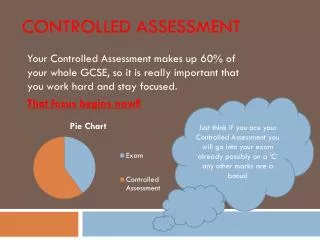
Controlled assessment. Two stretches of coastline can be very different in terms of their processes and landforms. How far does the research you have carried out make you think that this statement is correct? . Structure of the CA. A – Planning (8 marks) - 5 hours

E N D
Controlled assessment Two stretches of coastline can be very different in terms of their processes and landforms. How far does the research you have carried out make you think that this statement is correct?
Structure of the CA A – Planning (8 marks) - 5 hours B – Methods of data collection (7 marks) - 1 day collecting data, 2 hours writing up section C – Data presentation and report production (15 marks) - 5 hours D – Analysis and conclusions (14 marks) - 5 hours E – Evaluation (6 marks) - 3 hours For each section you will have a mark scheme and check list
Section a: Planning • This is assessment criterion A, which includes the introduction, location and justification of the study. It is worth 8 marks
Focussing on 4 subquestions… • Everyone will complete their own enquiry, based around the same 3 or 4 subquestions. • You will use these questions to split your controlled assessment project into sections. • They are important to help you to focus your work.
Sub questions • Which processes are happening along this stretch of coastline? • Which landforms are being created along this stretch of coastline? • How do these two stretches of coastline compare in terms of processes and landforms? • What are the causes for these differences?
This lesson • Writing the introduction to your project • Explaining your sub-questions • Creating location maps and explaining the choice of sites • Referencing
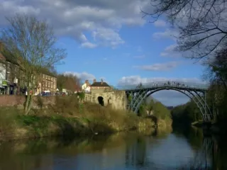
Introduction • This is where you explain what it is that you are going to be investigating - whether or not 2 stretches of coastline have similar or different landforms and processes - and what this means. • You need to define what you mean by processes and landforms. • You also need to define the 2 stretches of coastline. These will be two stretches of the North Norfolk coastline: Cley-next-the-Sea to Salthouse; and Sheringham to West Runton.
Sub-questions • Say that in order to answer the investigation, you need to ask multiple sub-questions • Then introduce your sub-questions, explaining what each of them means and how they will help you to answer the full investigation
Location maps • Using Google maps, you will need to locate the region we will be investigating and the two stretches of coastline, including the four sites we will be visiting • Then describe each of the stretches in turn, identifying where it is in relation to the region as a whole and the other stretch, the sites for each stretch and any key features of each site • Good GIS has a scale bar!
Figure 2: East Anglia Figure 1: The UK Figure 3: North Norfolk The two stretches: 1. Cley-next-the-sea toSalthouse 2. Sheringham to West Runton 1 2
Referencing • Whenever you use information from another source e.g. maps, you need to acknowledge where you got that data from. • In the case of your maps, it means just copying the website address and putting it underneath each map (make it small)
By next lesson • Have this first part of Section A completed • Introduction: what are you looking at and how have you defined key terms from the title? • Sub-questions: what are they and what do they mean? • Location maps: including a description of where the region is, where the four main sites are and any key features of each site