Download
1 / 17
180 likes | 365 Views
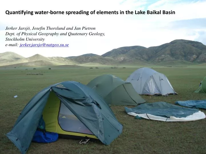
Quantifying water-borne spreading of elements in the Lake Baikal Basin. Jerker Jarsjö, Josefin Thorslund and Jan Pietron Dept. of Physical Geography and Quatenary Geology , Stockholm University e-mail: jerker.jarsjo@natgeo.su.se. Ka. Stockholm University.

E N D
Quantifying water-borne spreading of elements in the Lake Baikal Basin Jerker Jarsjö, Josefin Thorslund and Jan Pietron Dept. ofPhysicalGeography and QuatenaryGeology,Stockholm University e-mail: jerker.jarsjo@natgeo.su.se Ka
Stockholm University Department of Physical Geography and Quaternary Geology: One of the major departments within the Faculty of Science at Stockholm University Has approximately 120 employees and educates approximately 1500 students annually Main research disciplines are Climatology, Ecological Geography, Geographical Data Processing, Geomorphology, Glaciology, Hydrology, Remote Sensing, Tropical Geography, and Quaternary Geology, Education is oriented towards geography and geosciences, including hydrology and environmental protection. Hydrology group: 1 professor (hydrology, hydrogeology and water resources), 3 assistant professors, 5 post-docs/researchers, 16 PhD students
Collaboration Methods • Fieldcampaigns, joint modeling and analysiswork:Moscow State University, FacultyofGeography, Dep. Hydrology, Mongolian Academy of Sciences, GeographyInstitute • Laboratory and fieldmeasurementsofhydroclimatic, geochemical and geomorphological parameters • Statistical analyses of hydro(geo)logical and environmental data • Developmentofbasin-scale, predictivehydrologicalmodels:-distributed (GIS-based) modelling-sediment transport models (HEC-RAS)
Background: Permafrost area, ultimatelydrainsinto the Arctic Sea Essentiallyunregulated Uniqueecosystems in Lake Baikal and the Selenga River delta Pollution and sediment transport in the Selenga river Basin-Heavy metals from mining-Nutrients from agriculture Russia
Objectives Confront multi-method field investigations in Baikal Basin with multi-model quantification approaches to investigate fundamental research questions on the transport of substances through large drainage basins and impacts of human activities.
From source to recipient: Exampleflowpaths and transport times Riverbasin Surface water divide Contaminant Source 2 Slow flow through groundwater Contaminant Source 1 Stream network Fast flow through stream Coastline Streamflow into the sea Coastal water Diffuse SGD into the sea Howmuchwillcontaminantsources 1 & 2 contributeto coastal pollution…… if degradation occurs at the same rate in bothcases?
Mass delivery fraction: Mass delivery fraction:The fraction of massreleasedat a location that reaches the recipient... ...for a given flowfield and degradation rate, l. Method: Destouni, G., Persson, K., Prieto, C. and Jarsjö, J., 2010. General quantification of catchment-scale nutrient and pollutant transport through the subsurface to surface and coastal waters. Environmental Science & Technology, 44(6), 2048–2055 Application: Khadka, S., 2010. Catchment-scale transport through groundwater to surface waters of the Lake Baikal drainage basin, MSc thesis, Stockholm Univ.
Heavy metalsspread in dissolved form and with sediments Estimate total massflows– and itsvariance – along the river network(+erosion,deposition/accumulation)
Heavy metal loads (Zaamar):Tuul – Orkhon - Selenga Measurementlocations for C and Q ZaamarGoldfields: Placer mining alongTuul river ’Placer mining’ – alluvial sediments (river bank) Increases sediment and pollutant transport
Estimated mass flows of heavy metals From: Thorslund, J., Jarsjö, J., Chalov, S.R., and Belozerova, E.V., 2012. Gold mining impact on riverine heavy metal transport in a sparsely monitored region: the upper Lake Baikal Basin case. Journal of Environmental Monitoring, 14, 2780–2792
Main findings • Mining increases natural transport of dissolved heavy metals by an order of magnitude. • Transport in suspended phase much higher than the dissolved one • The suspendedphase transport increased by 1-2 orders ofmagnitudeduring a singlerainfall event Massflowsmay be underestimated if sampling is infrequent • Hypothesis: High pollution transport in suspension and lower downstream pH can contribute downstream dissolution, explaining why dissolved concentrations are higher farther away from the mining site than on it • Criticalquestion: How long distancescan sediments from the mining site be transported?
Modelled sediment discharge Increased sediment discharge where channel slopes are steep (as in the Zaamar Goldfield) Sediment discharge (tons/day) After: Pietron, J., 2012. Modeling sediment transport in the downstreamTuul River, Mongolia, MSc thesis NKA 61, Stockholm Univ. Distancealong river (km)
Modelled sediment discharge Sediment deposition (fine particles) just downstreamof the ZaamarGoldfield Sediment discharge (tons/day) After: Pietron, J., 2012. Modeling sediment transport in the downstreamTuul River, Mongolia, MSc thesis NKA 61, Stockholm Univ. Distancealong river (km)
Main findings • Under normal hydrologic conditions, most of the material released by mines is deposited within the first kilometres downstream of the mining area • During peak flow events, the contaminated sediment may be transported further downstream the reach. Consequently, the mining waste sediment can contribute to sediment loads leaving the Tuul River system. • Higlights the importanceofextreme events on overall transport
Futurework, plans and possibilities • Local transport processes: hydrochemicalconditions in different connectedwater systems: waste ponds, groundwater, channels, river water, suspended material, river sediments • Phase transformation processes: equilibrium and/or non-equilibrium • Presense ofgeochemical gradients on different scales (local-regional)? • Implicationsoflocal processes for large-scale transport? • Projected futurechages: Impactof land usechange, waterusechange and climatechange (e.g., methods from parallelwork in the Aral Sea basin): averageconditions, peakflows, contaminant transport
Publications Chalov SR, Zavadsky AS, Belozerova EV, Bulacheva MP, Jarsjö J, Thorslund J, Yamkhin J., 2012. Suspended and dissolved matter fluxes in the upper Selenga river basin. Geography Environment Sustainability 5(2): 78-94 Thorslund J, Jarsjö J, Chalov SR, Belozerova EV, 2012. Gold mining impact on riverine heavy metal transport in a sparsely monitored region: the upper Lake Baikal Basin case. Journal of Environmental Monitoring, doi: 10.1039/c2em30643c Pietron, J., 2012. Modeling sediment transport in the downstreamTuul River, Mongolia, MSc thesis NKA 61, Stockholm Univ Khadka, S., 2010. Catchment-scale transport through groundwater to surface waters of the Lake Baikal drainage basin, MSc thesis, Stockholm Univ. Jarsjö, J., Asokan, S.M., Prieto, C., Bring, A. and Destouni, G., 2012. Hydrological responses to climate change conditioned by historic alterations of land-use and water-use. Hydrology and Earth System Sciences, 16, 1335–1347. Destouni, G., Persson, K., Prieto, C. and Jarsjö, J., 2010. General quantification of catchment-scale nutrient and pollutant transport through the subsurface to surface and coastal waters. Environmental Science & Technology, 44(6), 2048–2055 Internat. Journal papers (Selenga-Baikal) MSc theses (Selenga-Baikal) Internat. Journal papers (Analysismethods)