Download
1 / 25
250 likes | 354 Views
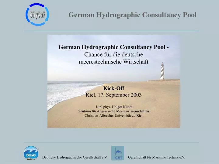
German Hydrographic Consultancy Pool - Chance für die deutsche meerestechnische Wirtschaft Kick-Off Kiel, 17. September 2003 Dipl.phys. Holger Klindt Zentrum für Angewandte Meereswissenschaften Christian-Albrechts-Universität zu Kiel. Hydrographie

E N D
German Hydrographic Consultancy Pool -Chance für die deutsche meerestechnische Wirtschaft Kick-Off Kiel, 17. September 2003 Dipl.phys. Holger Klindt Zentrum für Angewandte Meereswissenschaften Christian-Albrechts-Universität zu Kiel
Hydrographie Zweig der physischen Geographie, der sich mit der Entstehung, dem Zustand, der Bewegung und anderen Eigenschaften und Gesetzen der Hydrosphäre, d.h. der ober- und unterirdischen sowie stehenden und fließenden Gewässer und mit deren Wirkung auf die Erdoberfläche beschäftigt. (WWW.WISSEN.DE)
IMO SOLAS Chapter V - Regulation 9 "Hydrographic Services" Contracting Governments undertake to arrange for the Collection and Compilation of Hydrographic Data and the Publication, Dissemination and keeping up to date of all nautical Information necessary for safe Navigation.
UN Commission on the Limits of the Continental Shelf (CLCS) Die "Scientific and Technical Guidelines" der CLCS beruhen auf anerkannten Verfahren und Analysen der Hydrographie und der Geowissenschaften
EEZ Gebietsansprüche gemäß UNCLOS Art. 76 (max. 350 Seemeilen)
UNITED NATIONS CONVENTIONONTHE LAWOFTHE SEA (UNCLOS) PART II - TERRITORIAL SEA AND CONTIGUOUS ZONE Article 2+3. "The sovereignty of a coastal State extends beyond its land territory and internal waters and, in the case of an archipelagic State, its archipelagic waters, to an adjacent belt of sea, described as the territorial sea…. .. up to a limit not exceeding 12 nautical miles." Article 33."In a zone contiguous to its territorial sea, described as the contiguous zone, the coastal State may exercise the control necessary toprevent infringement of its customs, fiscal, immigration or sanitary laws and regulations within its territory or territorial sea… …may not extend beyond 24 nautical miles." PART V-EXCLUSIVE ECONOMIC ZONE Article 55+56."In the exclusive economic zone, the coastal State hassovereign rights for the purpose of exploring and exploiting, conserving and managing the natural resources, whether living or non-living… ...shall not extend beyond 200 nautical miles." PART VI- CONTINENTAL SHELF Article 76+77. "The coastal State exercises over the continental shelf sovereign rightsfor the purpose of exploring it and exploiting its natural resources… …to the outer edge of the continental margin or to a distance of 2oo nautical miles."
Baseline Minimum = 200 nm (EEZ) Anspruch = Foot-of-Slope + 60 nm or 1% Sediment Thickness Maximum = 350 nm or 2.500 ft +100nm UNCLOS Art. 76 Definition of the Continental Shelf
2.500 m 2.500 m + 100 nm 350 nm COMBINED CUT-OFF
Combined cut-off Baseline
Combined cut-off Baseline 200 nm
Foot-of-Slope FOS + 60 nm 1% Sediment Combined Formulae 200 nm 350 nm
Combined cut-off Baseline 200 nm Combined Formulae
Der UNCLOS & SOLAS Bedarf • Beratung zum Aufbau und Management nationaler Vermessungsbehörden • Aus- und Fortbildung des administrativen, technischen und wissenschaftlichen Personals • Beratung und Unterstützung bei der Beschaffung der technischen Infrastruktur • Planung, Durchführung und Auswertung nationaler Vermessungsaufgaben • Entwicklung und Betrieb leistungsfähiger Datenverarbeitungsstrukturen • Aufbau eines an internationalen Standards ausgerichteten Qualitätsmanagements
Hoheitliche Vermessung 650 Mill. Euro p.a. Seekabel und Sonstige 2.6 Mrd. Euro p.a. + 10 % + 2,5 % + 2,5 % Offshore Öl- und Gas 3.2 Mrd Euro p.a. Der Internationale Vermessungsmarkt in Jahresumsätzen im Jahr 2000 (Marine Foresight Panel, U.K. 2001)
Das FS SONNE mit seinen hochmodernen SONAR und Seismik-Systemen entspricht den zur Umsetzung von nationalen Gebietsansprüchen auf der Grundlage des UNCLOS Art. 76 erforderlichen hydrographischen Arbeiten in besonderem Maße.
Hoheitlicher Bedarf Küsten-staat Kunde Operationelle Hydrographie Lieferant Strukturen & Verfahren Bedarf Auftrag Lieferung Ämter & Behörden Forschungs-/Bildungs-einrichtungen Dienstleister (KMU's) Hersteller (KMU's)
Public-Private-Partnership German Hydrographic Consultancy Pool GHyCoP Ämter & Behörden Forschungs-/ Bildungs-einrichtungen Dienstleister (KMU's) Hersteller (KMU's)
Public-Private-Partnership German Hydrographic Consultancy Pool GHyCoP • "Hilfe zur Selbsthilfe" führt zu: • Eigenverantwortlichkeit • Nachhaltigkeit der Maßnahme • Rechtssicherheit und regionaler Stabilität • Nachhaltiges umweltverträgliches und zugleich wirtschaftlich erfolgreiches marines Ressourcenmanagement • Schaffung von Vertrauen und Akzeptanz in deutsche Produkte und Leistungen
Iran Indien Sri Lanka Potenzielle GHyCoP Initialprojekte
Wünsche und Forderungen an die Politik • Start-Up Finanzierung durch Bund und Länder • One-Stop-Shop zur operativen Koordination auf Bundesebene für komplexe, Ressort übergreifende Projekte • Zugang zu öffentlichen Ressourcen schaffen • Unterstützung durch deutsche Auslandsvertretungen • Ausbau von Training und Qualifikation
Hydrographie als Initialzündung für weitreichende industrielle Folgeaufträge ! Entwicklung von Häfen- und Transportwegen Auf- und Ausbau des Küstenschutzes Rohstoffsuche und -gewinnung Mariner Umweltschutz "Homeland Defence" Energieerzeugung Tourismus