Download
1 / 16
160 likes | 303 Views
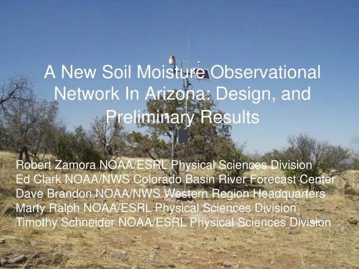
A New Soil Moisture Observational Network In Arizona: Design, and Preliminary Results. Robert Zamora NOAA/ESRL Physical Sciences Division Ed Clark NOAA/NWS Colorado Basin River Forecast Center Dave Brandon NOAA/NWS Western Region Headquarters Marty Ralph NOAA/ESRL Physical Sciences Division

E N D
A New Soil Moisture Observational Network In Arizona: Design, and Preliminary Results Robert Zamora NOAA/ESRL Physical Sciences Division Ed Clark NOAA/NWS Colorado Basin River Forecast Center Dave Brandon NOAA/NWS Western Region Headquarters Marty Ralph NOAA/ESRL Physical Sciences Division Timothy Schneider NOAA/ESRL Physical Sciences Division
Outline • Motivations • Overview of the Network • Instrumentation and Calibration • Flash Flood Case of 18-26 July 2008 • Summary
NOAA Hydrometeorology Testbed Soil Moisture Observations • Transfer of new observing methods, scientific findings, and decision making tools into NWS operations. • Russian, NF American and San Pedro river basins. (Tar River planning in process) • Flash flood forecasting (Caracena et al. 1979, Bosart and Sanders, 1981) • Evaluation of NOAA/OHD hydrological models. (lumped, distributed, and physically based) • Evaluation of meteorological weather prediction models’ land surface and boundary layer parameterizations • Impact of climate change on our water supply
Alluvial Cobbly Clay Soil Caliche 5.0 cm to 1.0 m HRAP
Instrumentation • Campbell Scientific 616 Time Domain Reflectometer (CNL, FMS, ELG, WHT, FBK) • Vitel Stevens Hydra Probe (BOC) • Campbell Scientific 107 Temperature Probe • 2.0 m Air Temperature and Relative Humidity • Texas Electronics Tipping Bucket Rain Gauge • Probe Depths (5, 10, 20, 50, 100 cm) • 2.0 or 5.0 minute averages transmitted every hour by land line or GOES (Convective events are of the most interest)
Deployment Temperature Probes Reflectometers
TDR Calibration Campbell 0.5 dSm-1 USGS1.0 dSm-1
NWS BABA3 Nearest Gauge to Whetstone Site
NWS BABA3 Nearest Gauge to Whetstone Site
A closer look at the infiltration • The soil moisture observations captured the movement of rainfall as it penetrated deeper into the soil. • The water takes ~ 20 minutes to move from the surface to 50 cm depth in the nearly saturated layer.
CBRFC Simulated Soil Moisture for 23 July, 2008 • Simulated soil moisture values have a dry bias. • Observed values appear to have a wet bias based on USGS field capacity estimates in the San Pedro River Basin.
Without radar bias corrections the MPE significantly underestimated the amount of precipitation input to the RDHM. Max MPE Over Whetstone ~ 0.75” Observed at Whetstone ~ 1.29”
Summary • Active monsoon period over four days (19-24 Jul 2008) • ~100 mm (4 inches) of rain fell in four storms • Evidence of gradual moistening to greater depths over time • After a 2-day delay for the rain from the first storm to reach 50 cm, the stream response to the next storm occurred within 1 h • A significant runoff event was associated with this storm; streamflow went from near zero to 3500 cfs, and flow exceeded 5 feet in depth, i.e., a flash flood occurred • Preliminary results suggest that the soil moisture observations will play an important role in the evaluation and development of the NWS hydrological models
Future Plans • Begin ingesting the PSD precipitation data into the RDHM at CBRFC. Handbook 5 ID’s soon • Evaluate the CBRFC simulated soil moisture products with the PSD observations. • Examine the heterogeneity of precipitation and soil moisture in the Upper Babocomari using the three HRAP scale stations: Black Oak Cemetery, Canelo and Freeman Spring. • Install component summation atmospheric radiation observing capability at Elgin, AZ. BSRN protocols. (Meyers, Dutton) • Install two sites in the Upper Colorado this summer (Granby and Gunnison)
Acknowledgements • Gary Carter NOAA/NWS/OHD • Michelle Schmidt NOAA/NWS/CBRFC • Victor Koren NOAA/NWS/OHD • Pedro Restrepo NOAA/NWS/OHD • Linda Kennedy Audubon Research Ranch • US Forest Service