Download
1 / 30
300 likes | 520 Views
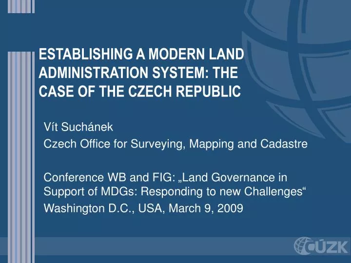
ESTABLISHING A MODERN LAND ADMINISTRATION SYSTEM: THE CASE OF THE CZECH REPUBLIC. Vít Suchánek Czech Office for Surveying, Mapping and Cadastre Conference WB and FIG: „Land Governance in Support of MDGs: Responding to new Challenges“ Washington D . C . , USA, March 9, 2009. Outline.

E N D
ESTABLISHING A MODERN LAND ADMINISTRATION SYSTEM: THE CASE OF THE CZECH REPUBLIC Vít Suchánek Czech Office for Surveying, Mapping and Cadastre Conference WB and FIG: „Land Governance in Support of MDGs: Responding to new Challenges“ WashingtonD.C., USA, March 9, 2009
Outline • Historical roots of Czech Cadastre • Cadastre of Real Estates of the Czech Republic • Czech Office for Surveying, Mapping and Cadastre • Information system of Czech Cadastre • Creation, basic description • Services and advanced features • Consolidation • Basic registers of the Czech republic • Digitalization of cadastral maps • Conclusions – lessons learnt
Historical roots of Czech Cadastre • Common origins from Austria-Hungary empire • Land Cadastre 1817, Land registry 1873 • Czechoslovak Republic 1918 • No major changes till 1950, Cadastre Act 1927 – changed mainly technical issues • 1948 communists seized power • 1951 Land Registry was closed • 1964 Real Estate Inventory system – some cadastral features, but oriented towards usership relations to land • 1989 – change of political system – shift towards market economy • 1.1.1993 – commencement of Czech Cadastre and COSMC
Cadastre of Real Estates – „Czech Cadastre, CRE“ • CRE is a collection of data about real estates, inclusive of their list and descriptions and their geometrical and positional determinations. • Files on proprietary and other rights in rem form a component of CRE. • CRE is kept as an information system about the territory of the Czech Republic predominantly in computerized form. • Main parts: • Descriptive Information Files – (written data on real estates and owners, fully computerized) • Survey Information Files – cadastral maps mainly, digitized from 34% only
Rights recorded in Czech Cadastre • Following rights are recorded to real estates in Czech Cadastre: • Proprietary rights • Mortgages • Encumbrances • Pre-emptive rights • Recordings into Czech Cadastre are: • Entry (changes of legal relations on contractual base. These rights originate, change or extinct by entry into the cadastre based on decision of a competent Cadastral Office.) • Record (e.g. transfer of rights, based on decision of court or some state administration body) • Annotation (recording of informative facts, e.g. in cases of distraints) • And their deletions.
Czech Office for Surveying, Mapping and Cadastre • COSMC is top umbrella governmental body for both • Cadastre of Real Estates • Administered by 14 regional cadastral offices with 107 cadastral workplaces, regional competence, about 5000 employees • Central database in Prague at COSMC • Surveying • Administered predominantly by Land Survey Office with country wide competence, • Geodetic control, State map series, ZABAGED – basic GIS, GEOPORTAL, surveying along state borders,, network of permanent GPS stations, …
Information system of Cadastre of Real Estates („IS CRE“) - predecessors • Computerisation of Real Estate Registry • Uniform batch processing began in 1976, data corresponded to usership relation • Till 1990 updates only in computer processing • After 1990 – a need for a rapid change • 1992 – 1995 introduction of PC at Cadastral Offices, system and data structure were still derived from the old system, many deficiencies • Decision – to create a quite new system
IS CRE - creation • Created in 1997-2001, application SW delivered by the Czech software house NESS Czech • Not only the smooth development – very complex task – everything in the „one jump“, need for changes during development • Complete renewal of IT infrastructure • Subsystem of migration of data from the old system – testing since summer 1999 • Launch of operation in September 2001
IS CRE – basic attributes • Client / server architecture • Common Oracle database for written and mapping part, mutual harmony is ensured • Central database and 107 local databases interconnected via WAN • Replication of changes from local databases every two hours – central database is up-to-date • Uniformity is ensured – the remote SW installation to all CO in one moment, replication of classifiers from the centre
IS CRE – features of an advanced system I. • Supports of all demands of state administration of Czech Cadastre, including legal rights to real estates • Uniform for the whole country • Checks data on owners against Registers of Inhabitants or Companies • Possibility to view „historical“ and „future“ data • Outputs are equipped with time of validity data • Integration of written and mapping parts in one database ensures the mutual update written and mapping data
IS CRE – features of an advanced system II. • Good security of system, username and password are necessary, all operations are logged permanently – any author of a given operation may be traced retroactively • Real time data in the centre, which is the sole pointfor Internet services • Internet service - Remote access to Cadastre data started already in 2001, enables to obtain a detailed Cadastre data from the whole country • Continuous incremental further development since 2001
IS CRE – an overview of current services for clients • Three ways of obtaining Cadastral information • At counters of Cadastral Offices • Data files (both descriptive and survey) in proprietary exchange format on media. There is a possibility to obtain only incremental changes in since the last time of getting data files • Via Internet: • Remote Access since 2001 • Viewing at Cadastre since 2004 • Web services since 2007
Remote Access • Open for the public, but contract is necessary • Search according to the identification of an owner or the address of real estate • Full range of detailed information • Excerpt from Cadastre and Copy of digital cadastral map procured with e-Mark (electronic public documents) • Three slightly different versions for: • General public (paid service) • Public administration (free of charge) • Authorising persons (notaries, contact points of public administrations, …, a small fee)
Copy of digital cadastral map via Remote Access procured with e-signature
Mapové výstupy z DP ISKN – orientační mapa parcel – rastr+ ortofoto+ geometrické plány
Certificate of non-registration in Cadastre Cadastre is obliged by law to issue electronic certificates that a person is not registered as an owner neither has some other rights to real estates Name, surname and PIN are needed In case that a person with identification data corresponding partially to the given identification is registered in Cadastre, this fact is stated in the certificate Service has been available since 1.1.2008
Viewing at Cadastre • Access to basic selected information about parcels, buildings, flats and the identification of the owner • Orientation map of parcels • Simple switching between written and mapping data • Data depicting how proceedings are processed at Cadastral Offices – status of specific proceeding, overview of all proceedings. • Free of charge services, enormous interest of citizens
First web services • IS CRE has been providing web services, which deliver some outputs (e.g. Excerpt from Cadastre, overview of ownership, information on parcels, buildings, apartment units) in .PDF format since 2007 • These documents are available also in XML format since January 2009 • It enables to incorporate cadastral information into information systems of users directly
Notice service – January 2009 • For citizens – announcement is sent (e-mail and / or SMS) in time of finishing the registration (only if citizen wants it and gives the addresses) – free of charge service • For companies (banks and etc.) – Watch dog • Warning about received proposals for registration, concerning real estates to which a user has ownership or other factual rights (e.g. from mortgages) • Enables also to follow the progress of some proceedings (e.g. registration of mortgage) • Pilot run in 2009
Registration of rights by entry into the Cadastre (in thousands of cases
Registration by record into the Cadastre (in thousands of cases)
Digitizing of cadastral maps • Digitized from 34 only %, carrying out registering has not allowed more • Governmental decision from July 2007: COSMC will receive extra budget – approx. 8,25 mil. EUR in each year 2009-2015 for hiring new 300 employees and for the involvement of private surveyors in order to speed up digitizing of cadastral maps • Digitizing has to be completed by 2015
Further development of IS CRE • Consolidation, centralisation of CRE • Three tier architecture • Easier implementation of new services • Delayed by the cancellation of tender for new central HW, migration in the first half of 2010 • System of basic registers of Czech Republic • Parallel development of Register of Territorial Identification, Addresses and real estates (Czech Office) – mutual cooperation • Implementation of INSPIRE Directive
Conclusions – lessons learnt • Project of IS CRE – „big bang“, but very complex and demanding task • Close cooperation with the deliverer of system necessary • Necessity of careful testing • Possibility to take over written data from the old system speeded up the creation of modern system • Creation of digital cadastral maps based on old maps is very complex and demanding task.
Thank you for your attention! Vít Suchánek vit.suchanek@cuzk.cz www.cuzk.cz