Download
1 / 7
70 likes | 175 Views
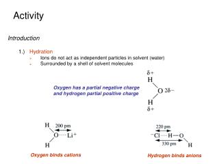
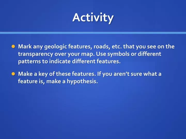
Activity. Mark any geologic features, roads, etc. that you see on the transparency over your map. Use symbols or different patterns to indicate different features. Make a key of these features. If you aren’t sure what a feature is, make a hypothesis. Aerial Photographs and Maps.

E N D
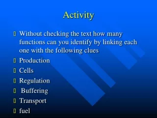
Activity • Mark any geologic features, roads, etc. that you see on the transparency over your map. Use symbols or different patterns to indicate different features. • Make a key of these features. If you aren’t sure what a feature is, make a hypothesis.
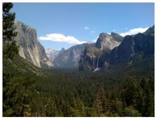
I use aerial photographs • To evaluate land use • To assess conditions before site visits
Some of my research sites!
Identify geologic features • As you are given new information, make corrections to your map key.