Download
1 / 20
330 likes | 689 Views
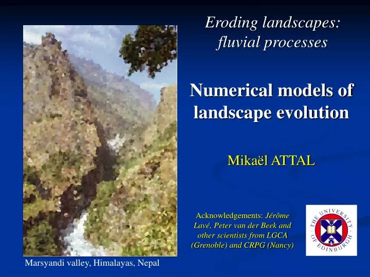
Eroding landscapes: fluvial processes. Numerical models of landscape evolution. Mikaël ATTAL. Acknowledgements: Jérôme Lavé, Peter van der Bee k and other scientists from LGCA (Grenoble) and CRPG (Nancy). Marsyandi valley, Himalayas, Nepal. Summary of last lecture.

E N D
Eroding landscapes: fluvial processes Numerical models of landscape evolution Mikaël ATTAL Acknowledgements: Jérôme Lavé, Peter van der Beek and other scientists from LGCA (Grenoble) and CRPG (Nancy) Marsyandi valley, Himalayas, Nepal
Summary of last lecture At least 7 different fluvial erosion laws. - 3 “stream power laws” (erosion = f (A, S)) - 4 laws including the role of sediment (f(Qs) ≠ 1) Low amount of field testing but recent work strongly support that: - sediments exert a strong control on rates and processes of bedrock erosion (f(Qs) ≠ 1); - sediments could have “tools and cover effects”.
Lecture overview I. Examples of models and applications II. The Channel-Hillslope Integrated Landscape Development model (CHILD)
Numerical models of landscape evolution (2002) (2002) Willett, JGR, 1999:
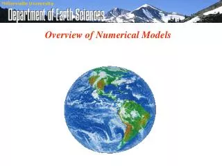
Numerical models of landscape evolution 3D 1) Examples of models and applications 2) The Channel-Hillslope Integrated Landscape Development model (CHILD)
Tectonics Geomorphic modelling systems: simulate the evolution of a topographic surface under a set of driving erosion and sedimentation processes (CHILD, CASCADE, etc.) Climate parameters Hillslope transport + landslide threshold Initial topography Fluvial sediment transport + deposition + bedrock erosion Flexural isostasy Additional parameters and algorithms: fluvial hydraulic geometry, bedrock and sediment characteristics, role of vegetation, etc. CHILD
Modelling landscape evolution • The elevation of each node changes through time under the effects of: • hillslope processes (erosion, transport, deposition), • fluvial processes (erosion, transport, deposition), • tectonics. Different models include different sets of parameters and/or treat the processes differently: no “universal” model of landscape evolution
Modelling landscape evolution Models = fantastic tools integrating the effects of a wide range of processes in space and time, but… Processes are SIMPLIFIED, and some of them are badly constrained (e.g. fluvial incision laws, role of vegetation, etc.) Need FIELD DATA to constraint parameters and processes. Combination of numerical modelling studies + field studies test and calibration of models, hypothesis testing, sensitivity analysis.
CASCADE (Braun & Sambridge, 1997, van der Beek and Braun, 1999) + Simple model (e.g. 1 fluvial incision law = under-capacity model, law 6) + Includes landsliding + User friendly easily coupled with other models: thermal models for the lithosphere (van der Beek et al., 2002), tectonic models (Cowie et al., 2006) - Simple model (e.g. 1 fluvial incision law) - No rainfall variablility - Rigid mesh
CASCADE (Braun & Sambridge, 1997, van der Beek and Braun, 1999) Example 1: SE African margin (van der Beek et al., 2002) Margin formed during rifting 130 Ma ago. Height of topographic scarp ~1.5 km
CASCADE (Braun & Sambridge, 1997, van der Beek and Braun, 1999) Example 1: SE African margin (van der Beek et al., 2002) Aim: discrimination between 2 end-member models for the evolution of the margin
CASCADE (Braun & Sambridge, 1997, van der Beek and Braun, 1999) Example 1: SE African margin (van der Beek et al., 2002) Aim: discrimination between 2 end-member models for the evolution of the margin Coupling with thermal model for the lithosphere
CASCADE (Braun & Sambridge, 1997, van der Beek and Braun, 1999) Example 1: SE African margin (van der Beek et al., 2002) Aim: discrimination between 2 end-member models for the evolution of the margin Coupling with thermal model for the lithosphere
CASCADE (Braun & Sambridge, 1997, van der Beek and Braun, 1999) Example 1: SE African margin (van der Beek et al., 2002) Aim: discrimination between 2 end-member models for the evolution of the margin Preferred model: plateau degradation + lithologic variations
JGR, 2002 CASCADE (Braun & Sambridge, 1997, van der Beek and Braun, 1999) Example 2: morphological response to the growth and lateral propagation of fault-related folds; application to the Siwaliks hills (Champel et al., 2002; van der Beek et al., 2002) Question: can variations in detachment dip explain differences in drainage patterns along the Himalayan front?
CASCADE (Braun & Sambridge, 1997, van der Beek and Braun, 1999) Example 2: morphological response to the growth and lateral propagation of fault-related folds; application to the Siwaliks hills (Champel et al., 2002; van der Beek et al., 2002) Question: can variations in detachment dip explain differences in drainage patterns along the Himalayan front? dip of the detachment exerts a major control on drainage development: variations in dip could explain differences in drainage patterns along the Himalayan front
CASCADE (Braun & Sambridge, 1997, van der Beek and Braun, 1999) Example 3: landscape development in response to fault interaction and linkage in extensional settings (Cowie et al., 2006)
CASCADE (Braun & Sambridge, 1997, van der Beek and Braun, 1999) Example 3: landscape development in response to fault interaction and linkage in extensional settings (Cowie et al., 2006) Questions: are rivers flowing across active faults antecedent to tectonics? What is the effect of fault interaction on drainage patterns? What are the implications for sediment routing? Eliet & Gawthorpe, 1995
CASCADE (Braun & Sambridge, 1997, van der Beek and Braun, 1999) Example 3: landscape development in response to fault interaction and linkage in extensional settings (Cowie et al., 2006)
CASCADE (Braun & Sambridge, 1997, van der Beek and Braun, 1999) Example 3: landscape development in response to fault interaction and linkage in extensional settings (Cowie et al., 2006) Drainage patterns result from fault interaction tectonic control on sediment routing and sediment fluxes to adjacent basins