Download
1 / 14
150 likes | 1.1k Views
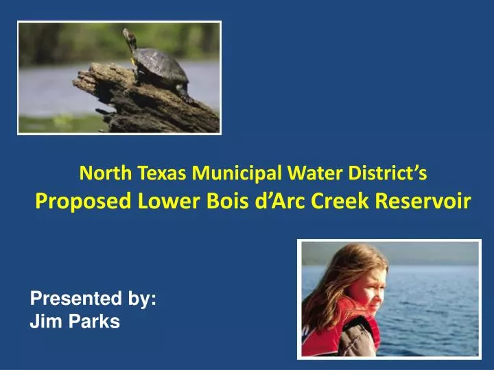
North Texas Municipal Water District’s Proposed Lower Bois d’Arc Creek Reservoir. Presented by: Jim Parks. Major North Texas Water Providers. NTMWD Treated Water Service Area. 13 Member Cities Allen Farmersville Forney Frisco Garland McKinney Mesquite Richardson Plano Princeton

E N D
North Texas Municipal Water District’sProposed Lower Bois d’Arc Creek Reservoir Presented by: Jim Parks
NTMWD Treated Water Service Area • 13 Member Cities • Allen • Farmersville • Forney • Frisco • Garland • McKinney • Mesquite • Richardson • Plano • Princeton • Rockwall • Royse City • Wylie • 49 Customer Cities, Towns & Water Supply Corporations
Lower Bois d’Arc Creek Reservoir Fannin County, TX Area: 16,526 acres Storage: 367,609 ac-ft Supply: 113 MGD Average Depth: 22 ft Maximum Depth: 70 ft Lake Elevation: 534 ft msl
Water Right Application • Submitted - December 2006 • Administratively complete - June 2007 • Interbasin transfer meetings -September 2007 • Supplemental application: • 401 & 404 applications • Outstanding Requests for Information: • Instream Flow Study • Reservoir Operating Plan • Downstream Impacts • Mitigation Plan
404 Permit Application • Submitted to USACE – June 2008 • EIS Determination – March 2009 • EIS Contractor Selected August 2009 • Public & Agency Scoping Meetings – December 2009
404 Permit Application • Required by USACE: • Jurisdictional Determination Report • Habitat Evaluation Study – Reservoir Site • Geomorphic Assessment of Streams • Environmental Report • Archeological Report – (begin spring 2010)
Land Acquisition • NTMWD Board approved - November 2007 • Reservoir Site Land needed – 22,590 acres • Acquisitions to date - 9,991 acres (44%) • Riverby Ranch Mitigation Area • 14,958 acres
Riverby Ranch Mitigation Area • 14,958 acres • Potentially meets all mitigation needs: • Created wetlands • Stream restoration • Uplands • Very unique opportunity
Riverby Ranch Mitigation Area • Developing partnership with USFS to manage site • Double USFS lands within the region • USFS staff has shown strong support • Designated themselves as a “cooperating agency”