Download
1 / 11
110 likes | 256 Views
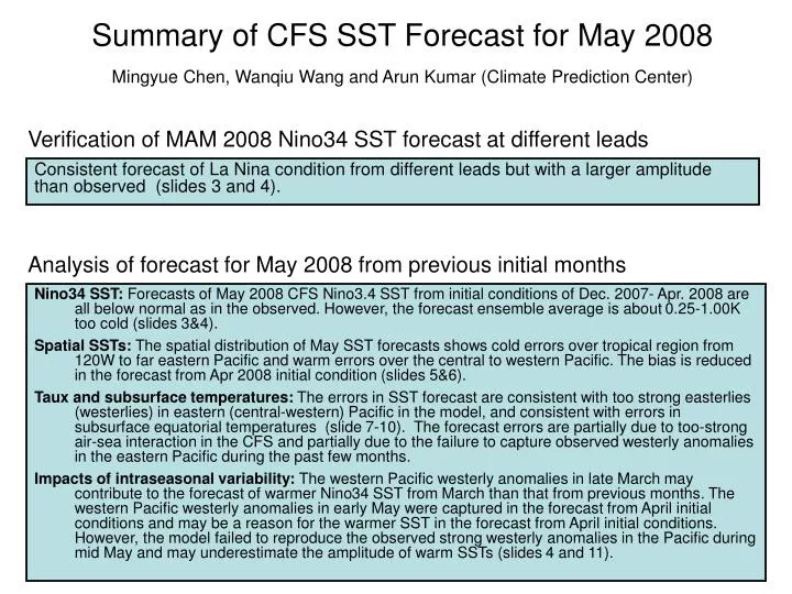
Summary of CFS SST Forecast for May 2008 Mingyue Chen, Wanqiu Wang and Arun Kumar (Climate Prediction Center). Verification of MAM 2008 Nino34 SST forecast at different leads.

E N D
Summary of CFS SST Forecast for May 2008Mingyue Chen, Wanqiu Wang and Arun Kumar (Climate Prediction Center) Verification of MAM 2008 Nino34 SST forecast at different leads Consistent forecast of La Nina condition from different leads but with a larger amplitude than observed (slides 3 and 4). Analysis of forecast for May 2008 from previous initial months Nino34 SST: Forecasts of May 2008 CFS Nino3.4 SST from initial conditions of Dec. 2007- Apr. 2008 are all below normal as in the observed. However, the forecast ensemble average is about 0.25-1.00K too cold (slides 3&4). Spatial SSTs: The spatial distribution of May SST forecasts shows cold errors over tropical region from 120W to far eastern Pacific and warm errors over the central to western Pacific. The bias is reduced in the forecast from Apr 2008 initial condition (slides 5&6). Taux and subsurface temperatures: The errors in SST forecast are consistent with too strong easterlies (westerlies) in eastern (central-western) Pacific in the model, and consistent with errors in subsurface equatorial temperatures (slide 7-10). The forecast errors are partially due to too-strong air-sea interaction in the CFS and partially due to the failure to capture observed westerly anomalies in the eastern Pacific during the past few months. Impacts of intraseasonal variability: The western Pacific westerly anomalies in late March may contribute to the forecast of warmer Nino34 SST from March than that from previous months. The western Pacific westerly anomalies in early May were captured in the forecast from April initial conditions and may be a reason for the warmer SST in the forecast from April initial conditions. However, the model failed to reproduce the observed strong westerly anomalies in the Pacific during mid May and may underestimate the amplitude of warm SSTs (slides 4 and 11).
Forecast from May 2008 for the coming seasons SST forecast from the latest initial condition (May. 2008) shows a transition from below normal to above normal condition around Jul and forecasts weak positive anomalies after August. Spread of Nino 3.4 SST index among ensemble members is about 0.5-1k (slide 3&4).
4-month Lead 1-month Lead 0-month Lead 3-month Lead For MAM 2008 as the Target; Forecasts From Different Leads 2-month Lead