Download
1 / 51
560 likes | 1.12k Views
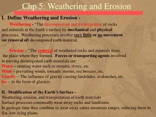
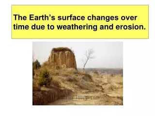
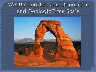
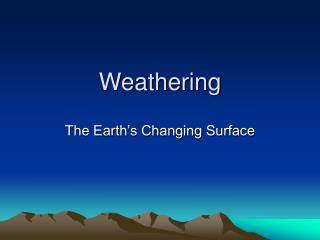
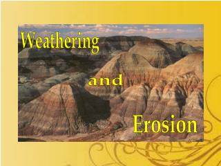
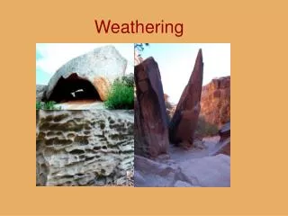
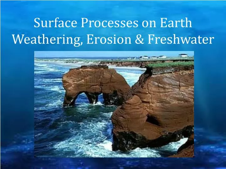
Surface Processes on Earth Weathering, Erosion & Freshwater. Weathering and Erosion. Weathering is the process of breaking down rocks at or near the Earth’s surface . Erosion is the movement of sediments from one place to another. Weathering. Mechanical. Chemical. Mechanical Weathering.

E N D
Weathering and Erosion • Weathering is the process of breaking down rocks at or near the Earth’s surface. • Erosion is the movement of sediments from one place to another.
Weathering Mechanical Chemical
Mechanical Weathering Does NOT change the rock CHEMICALLY Natural processes just eat away at (Erode) the surface
Mechanical Weathering • FROST/ICE WEDGING: repeated thawing and freezing of water in cracks of rocks • UPLIFTING: when layers of rock above are removed, the release of PRESSURE allows the rock to expands and cracks • Plant growth into cracks can split open rocks • EXFOLIATION: the action of EXFOLIATION allows outer rock layers to be striped away
Chemical Weathering • Occur when CHEMICAL REACTIONS take place within the rock • Eroded sediments are different chemically • Erosion Increaseswith SURFACE AREA Water, oxygen, carbon dioxide and acids can cause chemical weathering
Chemical Weathering Hydrolysis = water. Occurs in Silicate Minerals Oxidation= oxygen. Occurs in Iron Minerals = RUST Carbon dioxide. Combines with water to form a weak CARBONICacid Acid Rain. Released by human activities that make pollution.
Rate of Weathering • Water-Solubleminerals weather easily (Like salt melts into salt water) • Different layers weather at different rates
Other Factors • More surface area = more weathering • Topography (slopes, hills, etc) allows gravity push sediments downhill faster than on flat surfaces
Erosion • Transportation of Sediment Water Wind Glaciers
Soils • Soil is made of • Rock particles and minerals (sand, silt, clay) • Humus is organic and provides PLANTS with air and water • Soil Texture depends on particle SIZE
Soil Horizons • The layers of soil are called the soil horizon • TOP SOIL – Layer A: contains NUTRIENTS and minerals and is very dark • SUB-SOIL- Layer B: high in clay and is usually red or yellow in color • Layer C: Partially weather rock
Life in Soil • Decomposers (such as fungi and bacteria) break down ORGANIC MATERIAL • Animals mix SOIL LAYERS and allow air and water to pass through it. • Humus = Plants produce litter and then decay which returns nutrients to the soil.
Soil in the U.S. • Polar (Alaska) – good drainage, no horizons, permafrost • Temperate (Eastern and Central U.S.) – vary greatly • Grassland – fertile • Forest – less fertile • Desert (Western U.S.) – high in salts and little organic/living material • Tropical – can become infertile due to high rainfall
Soil Damage • Loss of TOP SOIL • Due to erosion • Desertification • Climate Change, Overgrazing, Cutting down FORESTS
Conservation • Contour plowing • CONSERVATIONplowing • Fallow (allowing fields to rest) • CROP rotation
Karst Topography • Groundwater contains some ACIDusually CARBONIC ACID • Acid gets there when carbon dioxide combines with water Differential erosion causes KARST TOPOGRAPHY.
Features of Karst • Caves • Sinkholes • Stalactites – from above • Stalagmites – from below • Disappearing rivers
Stalactites They hold TIGHT to the ceiling
Stalagmites They MIGHT have fallen
Mass Movement by Gravity • The downward movement of loose sediment and weathered rock. • Slide: moves as a block • Flow: particles mix together • Fall: falling freely
Creep Slow, Steady, Downhill flow of sediment
Slump Mass of sediment falls down
Mudflow swiftly moving mixture of mud and water
Landslide downhill movement of saturated topsoil
Avalanche Landslides of snow (deep snow)
Mass Movement Caused by Wind • Mass movement from wind includes • Dust Storms • Dunes Formation
Mass Movement by Glaciers A glacier is a large moving mass of ice
Runoff • Water moving along the surface will carry sediments. • If surface is POROUS, then water can flow into the ground. • Plants slow erosion and allows more water into the ground • Light rains can allow more water into the ground • Soil types affect absorption
Watershed • All the land that drains into a stream or river system is called the watershed. Suspension: particles carried in water Bed Load: particles pushed along by water in a stream
Streams • Stream channel: the pathway carved by a stream • Stream banks: the ground bordering the stream on either side • Floods occur when streams or rivers rise over their banks. • Flood plain: the broad flat area on either side of the stream banks. • Meander: the bend and curves in a stream
Lakes and Freshwater Wetlands • Lakes are depressions in the landscape that collect and hold water. • Eutrophication: the process by which lakes absorb nutrients from the soil around them. • Wetlands are land areas that are covered by water for part of the year. • Bogs • Marshes • Swamps
Groundwater and Infiltration • Infiltration is when water on the surface flows into the ground • An aquifer is the area of ground water flow through permeable rock
Groundwater • Zone of Saturation – the depth to which ground water completely fills all the pores in the material. • Upper boundary is the Water Table • Permeability – how easily water passes through • Zone of Aeration – is the area above the water table
Groundwater Systems • Springs - Natural discharges of ground water where ground water is blocked by AQUICLUDES (Clay and Shale) • Hot springs usually form near residual igneous activity • Geysersare explosive hot springs that erupt at regular intervals.