Download
1 / 14
140 likes | 295 Views
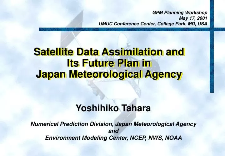
GPM Planning Workshop May 17, 2001 UMUC Conference Center, College Park, MD, USA. Satellite Data Assimilation and Its Future Plan in Japan Meteorological Agency. Yoshihiko Tahara Numerical Prediction Division, Japan Meteorological Agency and Environment Modeling Center, NCEP, NWS, NOAA.

E N D
GPM Planning Workshop May 17, 2001 UMUC Conference Center, College Park, MD, USA Satellite Data Assimilation and Its Future Plan inJapan Meteorological Agency Yoshihiko Tahara Numerical Prediction Division, Japan Meteorological Agency and Environment Modeling Center, NCEP, NWS, NOAA
Why Do the Japanese Have Great Interest in Rain ? Rainy season ‘Baiu’ Short rainy season 3-4 daycyclic weather Typhoon Occasional shower with thunder Possible snow
JMA Plans for NWP systems Year 2000 2001.3 2006.3 GSM T106L40 Ens. GSM TL159L40 Ens. 120km GSM TL319L40 GSM T213L40 GSM T213L30 60km Horizontal Resolution 3DVar 4DVar GSM TL499 Ensemble TYM 40kmL15 TYM 24kmL25 TYM 20kmL30 RSM 20kmL40 GSM TL999 RSM 20kmL36 Ocean PBL 20km 4DVar 3DOI MNHM 10km MSM 10kmL40 10km MNHM 5km ANHM 5km 4DVar 5km Simple Var 2km ANHM 2km Typhoon model Global model Regional non-hydrostatic model Aviation non-hydrostatic model Regional hydrostatic model
Tokai Heavy Rain in Sep. 2000 By Kochi Univ. Weather Info.Http://weather.is.kochi-u.ac.jp Precipitation at Nagoya By Sankei morning newspaperon Sep.12, 00 By Meteo. Info. and Disaster prevention fmd.dpri.kyoto-u.ac.jp/~ushiyama
Operational Forecast was... Rain Analysisby Radars-AMeDAS Forecast by RSM (20km H-res) Nagoya Nagoya 3hrs rain for 09 - 12utc 9 - 12hr forecast from 00utc on Sep11,00
140E 稚内 留萌 Wind Profiler (25pts) Radio Sonde 根室 札幌 帯広 40N 室蘭 40N 秋田 宮古 酒田 輪島 仙台 高田 館野 福井 水戸 熊谷 米子 浜田 名古屋 厳原 勝浦 福岡 高松 静岡 大分 河口湖 平戸 尾鷲 高知 潮岬 熊本 八丈島 清水 延岡 30N 鹿児島 30N 屋久島 名瀬 父島 那覇 与那国島 南大東島 石垣島 硫黄島 140E 130E Wind Profiler Network
strengthened weakened TRMM/TMI TPW assimilation Impact on cumulus heating TMI PW (with guess) Wind850 fcst score over Tr. Rain Forecast Error in Aug.1998. Test (with TMI) Control (no TMI)
Simulation of GMS-5 IR1 Channel(study for cloud assimilation) (00UTC Jun2000) Simulated IR1 GMS5 IR1
500Z N.H. 500Z S.H. 200Ucomp Trop. Impact of TOVS 1DVAR Mean RMS forecast error against initalized analysis, 16 cases in Sep. 2000
QS winds QS Psea RMSE ofZ500 Fcstover SH (20s-90s) QSCAT run - Cntl run, RMSE Diff of 3day Fcsts on 850hPa Wind Vctr (m/s) Impacts of QuikSCAT/SeaWinds
Rain Data Assimilation by 4DVAR 3hrs Rain Amount of 15hr Forecast from 4DVAR Analysis at 00utc 2/12/01 with assimilation of Radar-AMeDAS data Radar-AMeDASAnalysis The Rain Forecast from OI Anaysis
Expectations from GPM for NWP Purpose • Analysis and Forecast • GPM is expected to contribute on accurate global rain, moisture, cloud and surface analysis with its huge amount of observations and • On frequent watch of severe weather systems including tropical cyclones and their accurate analyses. • Good global analysis will lead good long-term forecast. • Good global analysis and forecast will lead good regional analysis and forecast. • NWP model development • GPM is expected to contribute on not only producing climatic information but also the developments of NWP cloud, rain and snow fall schemes.
Numerical Prediction Division of JMA and Joint Researches for Satellites • JMA/NPD • Management section (4) • Modeling branch (35) • Global modeling group (7) • Regional modeling group (7) • (New) Non-hydrostatic meso-scale modeling group (6) • Analysis group (7) .. (analysis scheme and QC) • (New) Satellite group (7) .. (satellite data assimilation) • Application branch (7) • Systems branch (11) • Joint Research for Sat. • JMA/MSC (8) • NASDA/EORC (2) We are preparing to use increasing satellite data!!