Download
1 / 6
60 likes | 82 Views
MRV & Reporting Status & Related Space Data Needs. Mozambique. Institutional background. MRV unit is a repartition of Technical Unit for REDD + ( UT-REDD+ ) which is dependent upon the National Sustainable Development Fund ( FNDS )

E N D
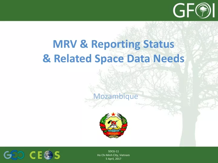
MRV & Reporting Status& Related Space Data Needs Mozambique SDCG-11 Ho Chi Minh City, Vietnam 5 April, 2017
Institutional background • MRV unit is a repartition of Technical Unit for REDD+ (UT-REDD+) • which is dependent upon the National Sustainable Development Fund (FNDS) • belonging to Ministeryof Land, Environmental and Rural Development (MITADER). • Functions • Establish a national forest monitoring system; • Assess REDD+ initiatives and programs; and • Implement and coordinate with the private sector, civil society and local communities the REDD+ activities. SDCG-11 Ho Chi Minh City, Vietnam 5 April, 2017
Status of National MRV Implementation Activity Data Spatially explicit tracking of land‐use conversions over time, with a well-designed sampling approach (4 x 4 km grid) to train/validate a supervised classification of changes on a multi‐temporal stack of Landsat Imagery (historical AD): complete historical period 2001-2016 of HR visual assessment using Collect Earth tool (FAO free available tool). (historical LULC maps 2003, 2005, 2007, 2010, 2013 – wall to wall approach by JICA) National Forest Inventory The National Forest Inventory (680 clusters x 4 plots) was designed (assessed and approved methodology by WB) and its guidelines and tools developed in 2016 by the new MRV Unit – UT-REDD+ - FNDS in collaboration with the DINAF and is being implemented throughout 2016 and 2017 by national institutions (UT-REDD+, DINAF, UEM, IIAM) working collaboratively at National Level (except Gaza and Cabo Delgado Provincial Inventories by JICA). LULC Map 2016 Preparation of a HR (10 m) 2016 LULC Map based on Sentinel-2 Imagery. SDCG-11 Ho Chi Minh City, Vietnam 5 April, 2017
Status of National MRV Implementation (cont.) EFs Efs have been calculated by vegetation type using secondary data sources at national level (Tier 2). Results from the NFI will allow to update (December 2017) their values and the National Net of Permanent Plots (96 plots). • Sub-component: National Forest Monitoring System • Ongoing the development of an operational manual for the community based MRV/SIS system tasks. • The designed system will be tested on field in selected communities of 15 districts of Zambezia and Cabo Delgado (ERs Programmes) during 2018. Forest Reference Level Stepwise approach: zero version available using global AD datasets (Hansen) and Efs by vegetation type from secondary data sources at national level (Tier 2). First version updated using AD results from sampling approach / wall to wall approach. Second version updated using Efs from NFI. SDCG-11 Ho Chi Minh City, Vietnam 5 April, 2017
Space Data Needs Scope and timeline for implementation Required space data types SDCG-11 Ho Chi Minh City, Vietnam 5 April, 2017
Space Data Needs (cont.) Challenges Institutional arrangements • Strengthen the communication and coordination through creations of platforms and technical steering committees. New requirements for MRV • New technologies affect significantly to success; • Ability to learn fast is required. Ability of the Government to support the MRV costs given other priorities • Different approaches, new requirements (Cost implications but sustainable approaches). obstacles • Sentinel-2 and Lansat images data partially covered by cloud; • Download and process sentinel image data change detections. SDCG-11 Ho Chi Minh City, Vietnam 5 April, 2017