Download
1 / 21
210 likes | 457 Views
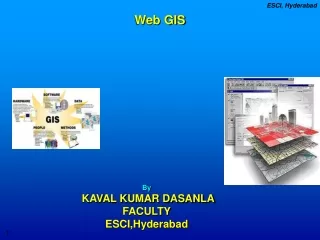
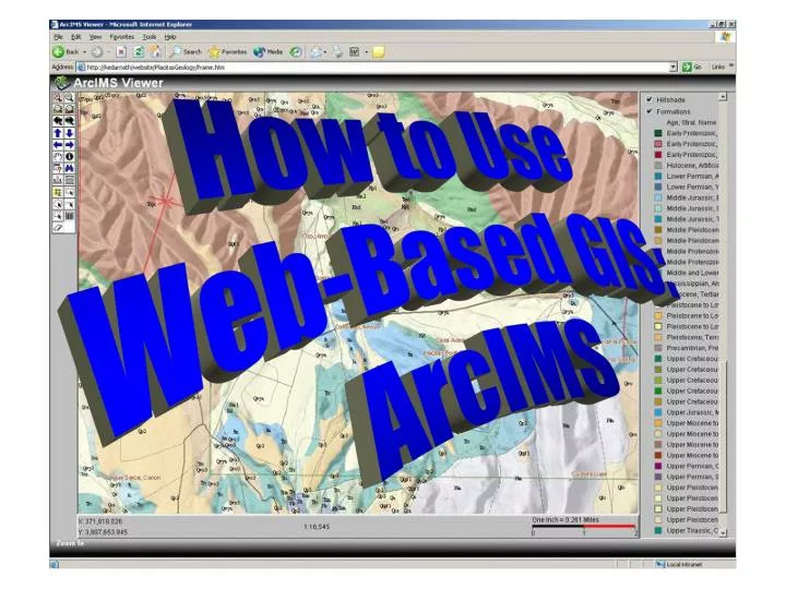
How to Use Web-Based GIS: ArcIMS. Tools. Map Display. Layers (Themes). Adding Layers. a. Click. Removing Layers. a. a. Removing Layers. Click. Using the Tools. The Power of GIS. Zooming In. Click. Then click and drag a box on the map. Zoom to Full Extent. Click.

E N D
How to Use Web-Based GIS: ArcIMS
Tools Map Display Layers (Themes)
Adding Layers a Click
Removing Layers a a
Removing Layers Click
Using the Tools The Power of GIS
Zooming In Click Then click and drag a box on the map
Zoom to Full Extent Click
Identify a Feature h Click on what you want identified. Click The layer that is active will be identified (in text box)
Zoom to Active Layer Click Zoomed to all the Dams in the watershed
Go to Previous Display Click
Panning Click Then click and drag the hand to move map
Query the Map Click Construct a query in the query builder and execute
Hyperlinks Click on the active layer to see if it has a hyperlink. Click Hyperlink to picture of Capitol
Measuring Distance Click point to point for measurement. Click Measurement located upper left
Selecting an Area Click or Click and draga box to select an active feature Click Feature highlighted once selected
Buffering (A Selected Area) Click Buffered January Tornados within 200 miles of the Winter Jet Stream
Clear Selections Click
View Map Legend Click Feature highlighted once selected
Printing a Map Click Type in Title and click ‘Create Print Page’
Credits • Graphics used in this lesson were created using ArcView and ArcIMS GIS software.