Download
1 / 22
220 likes | 421 Views
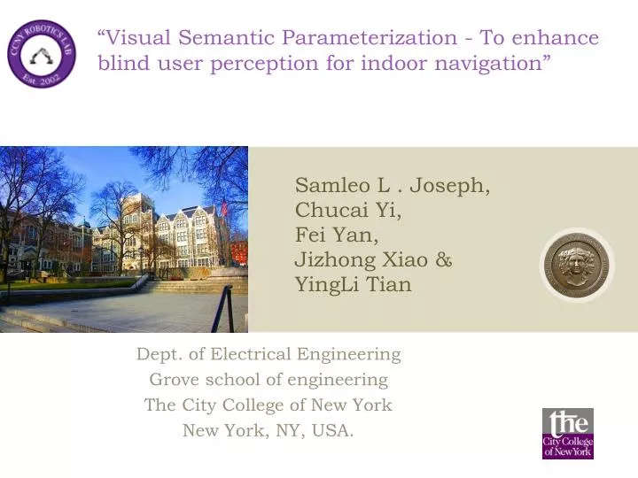
“Visual Semantic Parameterization - To enhance blind user perception for indoor navigation”. Samleo L . Joseph, Chucai Yi, Fei Yan, Jizhong Xiao & YingLi Tian. Dept . of Electrical Engineering Grove school of engineering The City College of New York New York, NY, USA. Background.

E N D
“Visual Semantic Parameterization - To enhance blind user perception for indoor navigation” Samleo L . Joseph, ChucaiYi, FeiYan, Jizhong Xiao & YingLiTian Dept. of Electrical Engineering Grove school of engineering The City College of New York New York, NY, USA.
Background • Robot navigation • In Robotics, Precise model of the relationship between control parameters and body kinematics is designed as a motion model • This is Influenced by the physical constraints in its environment • Human Navigation • Human acquires control parameters that yield safe navigation from the physical constraints of the environment. • If these constraints change, a Human may adapt to optimize those parameters until path is stabilized again. • Blind Human Navigation • Actively adapt to the environmental parameters, provided these constraints are precisely nurtured, in a blind perceivable manner. • Our Focus • this research focus on enforcing those constraints required for safe navigation of a visually impaired person using crowdsourcing
Objective • Conceivable wearable navigation system • What is visual semantic parameterization? • Purpose • Conceive floor-plan map – semantic information • Location awareness to the user • Track the path of the user on the map • Update the map with quantitative & qualitative information • Feedback – correct travel direction to the user • Wearable sensors • Camera (head-mounted) • Kinect (waist-mounted)
Challenges to design a navigation frameworkutilizing a floor plan • How to design a schema that nurtures the constraint of an environment required for a blind navigation? • How to emphasize the semantic cues inferred from a floor plan to design a meaningful schema? • Can the proposed schema be created using analogous floor-plans of all the buildings in the world? • How to present the travel distance in terms of blind understandable units to notify the intended travel route? • How to predict a human walk and plan a path by avoiding the obstacles on the way towards the destination?
Literature review • Mixed-initiative modeling of navigation: • manually feeding the constraints in the environment • then initiating the navigation process. • Apostolopoulos and Fallah et al (2012) Navatar • requires collection of building map from owners • manual preprocessing to annotate landmarks for navigation • Lee et al (2010) - Building information model • User door points to generate a graph plan • Karimi et al (2011) • interpolation scheme - spatial data on the end nodes of hallway • Lorenz et al (2006) • interface nodes, provided by a graph hierarchy algorithm
Problem formulation • Problem - Building a map from an unknown environment • Requires - acquiring the surroundings with sensors that approximately senses the environment in order to build a map. • Robotics SLAM - the data acquired by sensors traversing along the entire environment • Our approach: • Infer meaningful information in the snapshot of a floor-map • updated or corrected when the human-user traverses to the corresponding locations on that map. • Maintain database - Semantic schema
Floor plan parameterization • Contextual information from landmarks • Infer its meaningful information • Snapshot of floor-plan, signage, room numbers on the door, etc are parameterized to infer its meaningful information. • To enhance blind user perception for indoor navigation
Floor plan parameterization Fig(b) - Corresponding Edge map Fig(a) - Snapshot of floor plan
Floor plan parameterization • The boundary group obtained from edge map
Floor plan parameterization Detected regions of room numbers (red)
Floor plan parameterization • D-Shape detection is performed to localize the door position. According to the room number region and door position, we could calculate the point in hall path.
Semantic schemata • Purpose - organize the knowledge acquired on the floor plans • Central processing unit of our proposed system • Perceive a mental mapping of the environment. • Room number labels and its entry points on the hallway boundaries - generate a graph of nodes • Precise plan or schema is designed using those nodes
Human motion parameterization • Purpose - obstacle avoidance problem • Solved by a real-time path finding in local map • Fajen et al. - imitate how humans walk towards the goal by avoiding obstacles using behavioral dynamics • short term goal - passing room numbers on the way - confirm
Pathing map parameterization • Purpose – to notify the travel distance information • Required - an accurate estimation of the current user location • Guidance module to present the travel route • Enforce physical constraints required for safe navigation of a visually impaired person • Inform the user to enhance the Blind perception of environment
Results Intended travel route (green line) Travel route provided by Human motion model (blue circles)
Results Human motion model repels from the obstacle (red) and alters the travel path towards goal. Intended travel route (green line) with obstacles (Red)
Results Snapshot of a landmark scene Extracted visual cues
Conclusion and future trends • Enhance understanding of the surrounding environment. • Future work • completely functional navigation device to assist the blind user • test the proposed approach with a blind subject after integrating sensors such as Kinect (for accurate obstacle detection), speech module, tactile feedback, etc. • integrate crowd-sensing effects to provide awareness to the blind user based on the evidence of some interesting pattern inferred using the crowd analytics.
Reference • [1] IliasApostolopoulos, NavidFallah, EelkeFolmer, and Kostas E. Bekris, “Integrated online localization and nav- igation for people with visual impairments using smart phones,” in International Conference on Robotics and Automation (ICRA), 2012. • [2] NavidFallah, IliasApostolopoulos, Kostas Bekris, and EelkeFolmer, “The user as a sensor: navigating users with visual impairments in indoor spaces using tactile landmarks,” in Proceedings of the 2012 ACM annual con- ference on Human Factors in Computing Systems, 2012. • [3] Jin-kook Lee, Charles M Eastman, Jaemin Lee, MattiKannala, and Yeon-sukJeong, “Computing walking dis- tances within buildings using the universal circulation network,” Environment and Planning B: Planning and Design, vol. 37, no. 4, 2010. • [4] Hassan A. Karimi, Universal Navigation on Smart- phones, Springer, 2011. • [5] BernhardLorenz,HansOhlbach,andEdgar-PhilippStof- fel, “A hybrid spatial model for representing indoor envi- ronments,” Web and Wireless Geographical Information Systems, 2006. • [6] Brett R. Fajen, William H. Warren, SelimTemizer, and Leslie Pack Kaelbling, “A dynamical model of visually- guided steering, obstacle avoidance, and route selection,” International Journal of Computer Vision, vol. 54, no. 1- 3, 2003. • [7] A.R. Pratama, Widyawan, and R. Hidayat, “Smartphone- based pedestrian dead reckoning as an indoor positioning system,” in 2012 International Conference on System En- gineering and Technology (ICSET), 2012. • [8] YingLiTian, Xiaodong Yang, Chucai Yi, and Aries Arditi, “Toward a computer vision-based wayfinding aid for blind persons to access unfamiliar indoor envi- ronments,” Machine Vision and Applications, pp. 1–15, 2012. • [9] Chucai Yi and YingLiTian, “Text string detection from natural scenes by structure-based partition and grouping,” IEEE Transactions on Image Processing, vol. 20, no. 9, pp. 2594–2605, 2011.
Thank you • Discussions / Questions ?