Download
1 / 20
240 likes | 765 Views
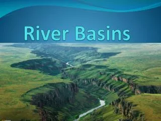
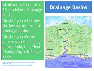
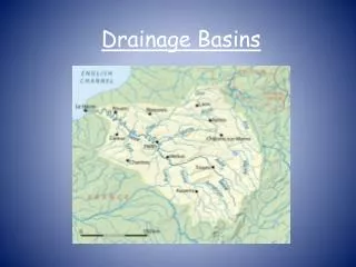
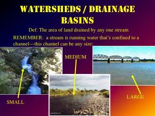
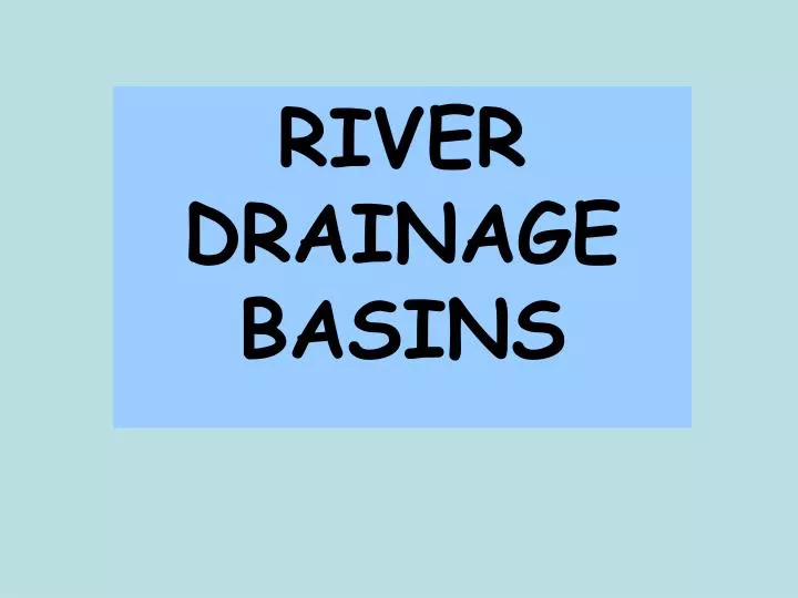
RIVER DRAINAGE BASINS. A RIVER SYSTEM ACTS LIKE A SYSTEM OF DOWNPIPES AND GUTTERING ON A HOUSE - IT ALLOWS THE MOVEMENT OF RAINWATER INTO THE SEA. A TYPICAL RIVER DRAINAGE BASIN. THIS IS THE CATCHMENT AREA FOR ALL THE RAIN THAT FALLS WITHIN THE WATERSHED. Watershed

E N D
A RIVER SYSTEM ACTS LIKE A SYSTEM OF DOWNPIPES AND GUTTERING ON A HOUSE - IT ALLOWS THE MOVEMENT OF RAINWATER INTO THE SEA
A TYPICAL RIVER DRAINAGE BASIN. THIS IS THE CATCHMENT AREA FOR ALL THE RAIN THAT FALLS WITHIN THE WATERSHED Watershed (higher ridge of land, the boundary between one drainage basin and another) Confluence (a place where two rivers meet) Source (the place where a river begins -a river system will have numerous sources, such as springs) Tributary stream(a smaller river that flows into a larger river)
All rain falling within a drainage basin ends up in the river system. How does it get there?
OVERGROUND Water runs downhill over the ground towards a river or stream - SURFACE RUNOFF Raindrops might fall directly into a river or stream - CHANNEL FLOW
Raindrops INFILTRATE soil and rock. The water then moves underground towards a stream or river UNDERGROUND (uppermost level of saturated ground)
So, which route to the river is quicker - surface runoff or infiltration / groundwater flow? ANSWER: Rain travelling as surface runoff will get to rivers and streams much more quickly, reaching a river or stream with little delay,within a short time-span. Water that infiltrates and travels underground travels much more slowly, finally reaching a river or stream bit by bit over a much longer period of time. Which situation is a river more likely to be able to cope with, without flooding?
Scenario 1 Peak discharge overland flow- high After how many hours does rainfall peak? What is peak river discharge in Scenario 1? (in cumecs) What is peak river discharge in Scenario 2 (in cumecs) What is the lag time in Scenario 1? What is the lag time in Scenario 2? Scenario 2 Peak discharge groundwater flow - lower Peak rainfall A FLOOD HYDROGRAPH
So: Surface runoff Shorter lag time Higher river peak discharge More likelihood of FLOODING
Non-permeable rock within drainage basin (water can’t infiltrate easily) The rainfall itself - very heavy, in big droplets (less likely to infiltrate) Urbanisation within the drainage basin - large areas concreted or tarmaced over, making surface non-permeable. (Storm drains are built in, of course, but these carry water very quickly to the river, making lag time even shorter) Water table already very high (little scope for infiltration if ground is already saturated) What conditions will make surface runoff more likely? Steep slopes in drainage basin (water flows downhill rapidly -less time for infiltration to occur Few trees (tree roots break the soil, providing little gaps for water to infiltrate). Trees then take up and store water from underground
Storm Drains Storm drains are connected to rivers and streams by an underground network of pipes, called the storm sewer system, which helps to prevent flooding from rain.
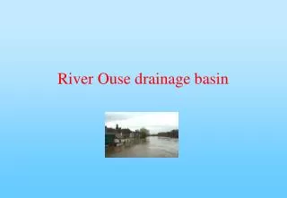
Which of these conditions applied to the River Severn drainage basin in July 2007?
The rainstorms over the weekend 20th-23rd July saw between 4-5 inches of rainfall - as much as would normally be expected for the whole of July. Rainfall was intense with large drops. There had been some very wet weather in the Severn drainage basin in June- 221% of previous average Ground in some areas was saturated
Although still mainly rural, considerable urbanisation has occurred within the Severn catchment over the past 50 years including the expansion of existing cities, towns and villages, for example the significant expansion of Redditch and Telford. (Environment Agency - ‘A Flood Management Strategy For the River Severn Corridor’)
More intense use of agricultural land during the twentieth century has resulted in larger fields, more efficient drainage systems and larger and heavier machinery causing deeper compaction of soils. This has resulted in water being moved through agricultural land faster and the rate of run-off being higher. This, combined with loss of woodlands and rough vegetation (which absorb and retain water), to farmland or urban development, may mean that volumes of water in rivers are higher and water levels rise faster. Several groups in the UK are currently investigating the effect of land and soil management practices on soil erosion and run-off. (Environment Agency - ‘A Flood Management Strategy For the River Severn Corridor’
The Upper reaches of the Severn drainage basin are in the Welsh uplands - slopes here are steep, favouring surface runoff. Rain water getting into the river quickly here, will flow fast within the river channel towards the lower reaches of the drainage basin - to places such as Tewkesbury and Gloucester
Non-permeable rock within drainage basin (water can’t infiltrate easily) The rainfall itself - very heavy, in big droplets (less likely to infiltrate) Urbanisation within the drainage basin - large areas concreted or tarmaced over, making surface non-permeable. (Storm drains are built in, of course, but these carry water very quickly to the river, making lag time even shorter) Water table already very high (little scope for infiltration if ground is already saturated) What conditions will make surface runoff more likely? ? Steep slopes in drainage basin (water flows downhill rapidly -less time for infiltration to occur Few trees (tree roots break the soil, providing little gaps for water to infiltrate). Trees then take up and store water from underground ?
It is important that we have some understanding of drainage basin conditions and storm hydrographs (both natural and man made) if we are to understand what can be done to reduce future flood risks