Download
1 / 25
250 likes | 430 Views
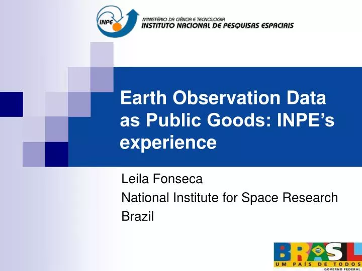
Earth Observation Data as Public Goods: INPE’s experience. Leila Fonseca National Institute for Space Research Brazil. Earth observation satellites provide key information about global land change. EO data benefits to everyone. Images are public goods!.

E N D
Earth Observation Data as Public Goods: INPE’s experience Leila Fonseca National Institute for Space Research Brazil
Earth observation satellites provide key information about global land change EO data benefits to everyone Images are publicgoods!
Projects as examples of public goods ... • CBERS program • Deforestation assessment in the Amazon Forest (PRODES) • Real Time Deforestation Detection (DETER)
CBERS Program: China-Brazil Earth Resources Satellite (http://www.cbers.inpe.br) • Objectives • Build a family of remote sensing satellites to support the needs of users in earth resources applications • Improve the industrial capabilities of space technology in Brazil and China
CBERS-2B Sensor Configuration WFI 260 m (890 km) CCD 20 m (120 km) PAN 2.5 m (27 km) 0.4 0.5 0.7 0.9 1.1 1.5 1.7 2.3 2.5 mm Built by China Built by Brazil
CBERS 3 – 4 Sensor Configuration WFI 73 m (860 km) MSS 40 m (120 km) CCD 20 m (120 km) MUX 10 m (60 km) PAN 5 m (60 km) 2.1 0.4 0.5 0.7 0.9 1.1 1.5 1.7 2.3 Built by China Built by Brazil mm
Policy for CBERS International Data • Images acquired by Brazilian station are free (catalogue) (www.dgi.inpe.br/CDSR) • Brasil and latin america countries • zero-cost fee for direct downlink in existing ground stations • Africa will receive images by direct downlink soon • Ground station operators are encouraged to distribute CBERS data free of charge on the Web
What do the private companies say about free CBERS data? Enables new business development Facilitates trial uses for new clients Planning new applications becomes easier Creates jobs by reducing cost of data buys Increases quality by adding data previously unavailable
Deforestation Assessment Programs Dalton M. Valeriano
Deforestation assessment in the Amazon Forest (Supports policy-making) year
Deforestation assessment in the Amazon Forest (http://www.obt.inpe.br/prodes/index.html) Data available in the Internet since 2003: Methods Tables Maps: Landsat Scene State mosaics Region mosaic
Moderate Resolution based Real Time Deforestation Detection – DETER (http://www.obt.inpe.br/deter/) Alarm system: detect new deforestation areas Supports law-enforcement TERRA MODIS - Moderate-resolution Imaging Spectroradiometer Observation period: 3 dias Spatial Resolution: 250 m CBERS - China-Brazil Earth Resources Satellite WFI – wide Field Imager Observation period: 5 dias Spatial Resolution: 260 m
Data processing in INPE Partial results to IBAMA and integration in the internet DETER: Data and Information Flow Latest cloud-free MODIS Cuiabá Receiving Station Previous deforestation assessment Analysis and distribution to enforcement agents by IBAMA
Modis data (may 2004)
Modis data (june 2004)
CBERS CCD data (July 2004)
Query to Fire Detection Database Altamira/PA
What can we achieve? • There is an enormous demand for remote sensing data in the world • Free on-line data access will significantly increase the number of users of earth observation data • Free data will lead to a much better understanding of the global Earth System
Will the Global Earth Observation System of Systems be based on free and open data policies?