Download
1 / 32
330 likes | 459 Views
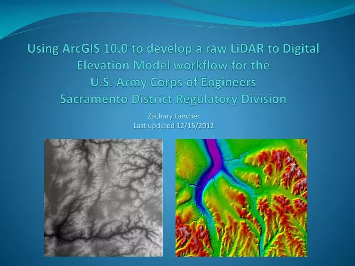
Using ArcGIS 10.0 to develop a raw LiDAR to Digital Elevation Model workflow for the U.S . Army Corps of Engineers Sacramento District Regulatory Division. Zachary Fancher Last updated 12/15/2012. Background.

E N D
Using ArcGIS 10.0 to develop a raw LiDARto Digital Elevation Model workflow for theU.S. Army Corps of EngineersSacramento District Regulatory Division Zachary Fancher Last updated 12/15/2012
Background • Regulatory Division responsible for making jurisdictional determinations on “Waters of the U.S”, as part of the permitting process for impacts to these aquatic features. • Push over the last couple of years to make determinations remotely, due to limited budget, staff, and high workload. • Available data not always sufficient – there is always a need for more high resolution imagery.
Background • Regulatory recently acquired a vast LiDAR dataset through California Department of Water Resources. Data was collected as part of DWR’s Central Valley Floodplain Evaluation and Delineation Program, from 2007-2010. • High resolution dataset covering 9000 square miles of the Central Valley. • Perfect for assisting project managers with remote jurisdictional determinations – but no one knows how to process raw LiDAR!
Project Goals: • Gain an understanding of LiDAR data in general, and how to access the various information stored in the .las format. • Develop a standardized workflow for producing DEMs that can be reproduced easily by Regulatory project managers. • Consolidate these production methods into a Standard Operating Procedure document. • Create a pilot demonstration to show project managers the practical value of using LiDAR.
Area of InterestSW of Lincoln, CA9 TilesApprox 8 sq miDensity of vernal pools, agricultural conversions, aquatic features
Possible Approaches: • Process, mosaic, and attempt to serve up the entire set of derivative raster data. • Run the DEM production process on a project-by-project basis, as needed.
Possible Approaches: • Process, mosaic, and attempt to serve up the entire set of derivative raster data. • Run the DEM production process on a project-by-project basis, as needed.
Some Important LiDAR Data Elements • Elevations • Classifications (maybe) • Returns • Intensities • Average point spacing
DEM Production • Point File Information • LAS to Multipoint feature class • Create and Pyramid Terrain, Add Feature Class • Build Terrain • Raster from Terrain (DEM) • Symbolize • Hillshade from DEM
DEM Production • Point File Information (3D Analyst Tools>Conversion>From File) - Class Numbers - Average Point Spacing - Additional Information (not used in this demo) Learned that this data was classified only into (1) Unclassified, (2) Bare Earth, and (12) Overlap Points. Not ideal, but still usable.
DEM Production • LAS to Multipoint (3D Analyst Tools>Conversion>From File) - Requires Average Point Spacing - Requires a coordinate system - Allows selection of class code and return(s) - Creates multipoint feature class Bare earth multipoint created first: Class code = (2), Returns = ANY_RETURNS
DEM Production • Create Terrain (3D Analyst Tools>Terrain Management) - Use Z-Tolerance for Pyramid Type - Requires Average Point Spacing • Add Terrain Pyramid Level (3D Analyst Tools>Terrain Management) - Use 2 24000 for Pyramid Levels Definition (window size and scale) • Add Feature Class to Terrain (3D Analyst Tools>Terrain Management) - Can add or subtract feature classes as needed
DEM Production • Build Terrain (3D Analyst Tools>Terrain Management)
DEM Production • Terrain to Raster (3D Analyst Tools>Conversion>From Terrain) - Natural Neighbors - FLOAT data type to retain vertical precision - Sampling Distance = CELLSIZE “Average Point Spacing” Research suggests using value of 4x average point spacing for direct point to raster operations. Becausewe are creating raster from terrain which already inherently containsa level of averaging from point to point, there is no reason to average further. Making cell size the same as the average point spacing will generate a raster with maximum resolution and accuracy confidence. Cell size is rounded to the nearest whole number for simplification of measurement and analysis.
DEM Production • Hillshade from DEM
DEM Production • Additional DEM needed to show which areas are obscured - Needed for project managers to interpret bare earth with any degree of confidence - If LiDAR data was better classified, a direct point to raster operation could be used to pull out only vegetation and buildings. - NULL values in the rest of the raster could be transparently symbolized, and would look good turning layer visibility on and off.
DEM Production • Additional DEM needed to show which areas are obscured - Because this data is not that well classified, another DEM composed of bare earth plus vegetation and structures is needed. - Using all of the LiDAR is appropriate to generate a bare earth plus vegetation / canopy / structures DEM - Process identical except at LAS to Multipoint step. Class code = None, Returns = ANY_RETURNS
Analysis / Accuracy Assesment • Original data spec was within 0.6 ft vertical accuracy at a 95% confidence level. Horizontal, within 3.5 ft. • Pixel elevation in bare earth portions of canopy/buildings raster within 0 to 0.1 ft of their bare earth raster counterparts. • Pixels adjacent to canopy and buildings were on average 0.12 ft higher than bare earth counterparts. • Comparison with Google Earth elevations showed bare earth raster elevations to be within +/- 1 ft on average.
Analysis / Accuracy Assesment • Comparison with georeferenced digital orthophotos and basemaps showed excellent xy alignment. • Level of detail outstanding, will certainly be a useful tool for Regulatory project managers.
Next Steps • As mentioned, complete rasterizing of LiDAR data, mosaicking, hosting, and serving may be an option in the future. Will require more research. • In short term, a ModelBuilder tool or Python script will be the key to automating the workflow. Tool was built and runs successfully on a single machine, but because the tool would be by definition a shared tool, more research must be done to learn how to turn file paths into input variables, while keeping keystrokes minimal for the average project manager.
Using ArcGIS 10.0 to develop a raw LiDARto Digital Elevation Model workflow for theU.S. Army Corps of EngineersSacramento District Regulatory Division Zachary Fancher Last updated 12/15/2012