Download
1 / 4

E N D
Agenda 5.1 Americas Turn In Golden Goblet DN’s, Get your GG book off the shelf, and Turn in CE ProjectALPHABETICALLY(5 min)Bird Duty Registration and Put your Travel Points on your desk (during DO NOW)DO NOW: Exam / SEMESTER Reflection (15 minutes)Homework: Geography Practice (5 minutes)Unit 5 Calendars (5 min)Mapping the Americas (30 min)
Do Now: • On a piece of paper, look over your current grade for class (NOTE: Not entered yet are the U4 Exam, GG Do Nows, OR your Egypt CE) PART 1: • 2 things you do well • 2 things you’d like to improve upon • Anything you have questions about? Get a pass for lunch tutoring today to pop in and talk to me PART 2: • Make an ‘Action Sequence’ for these last 3 weeks of school. You have only 9 classes left for the semester? What do you need to do to finish like a rock star? SEQUENCE your action plan from most important to less important.
Homework Directions: • Put your name and period # on it • Label all continents and oceans • In one color, shade in/circle all of the ancient civilizations we have studied so far and label them. • Write approximate latitude and longitudes for those civilizations • Label modern countries of the Middle East, north Africa, and the Americas neatly in another color • Make a legend • Draw a compass
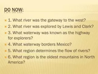
Classwork Directions: • Label neatly the countries of North and South America using a political map in one color • Label surrounding bodies of water and major physical geography using a physical map in another color • Label the 4 major ancient civilizations we will focus on this unit (use your U5 Calendar) in a different color • Create a legend for the 3 colors • Add a compass to your map • Quiz a neighbor using cardinal directions: • EXAMPLES: What country is East of the Gulf of Mexico? What Ancient Civilization was located on the Eastern coast of South America? What Physical Geography is a major challenge in Southwestern North America?