1 / 15

Mangrove Development in Fiji from 1991 to 2007

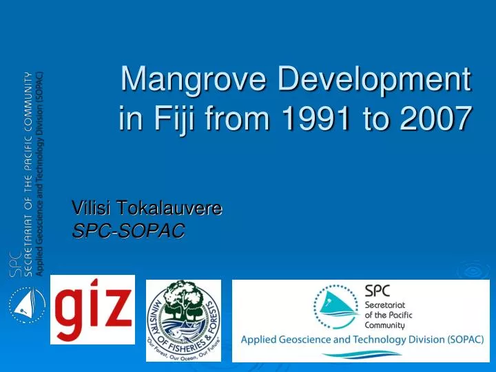
Mangrove Development in Fiji from 1991 to 2007. Vilisi Tokalauvere SPC-SOPAC. Data Sources. Landsat Image 1991 FOCO 1991/2001 Landsat Image 2001 ALOS 2007 Visual Interpretation. Description Database. MapInfo to ERDAS. Forest, Mangrove polygons exported (DXF) to ERDAS.

amos
Download Presentation

Mangrove Development in Fiji from 1991 to 2007

An Image/Link below is provided (as is) to download presentation Download Policy: Content on the Website is provided to you AS IS for your information and personal use and may not be sold / licensed / shared on other websites without getting consent from its author. Content is provided to you AS IS for your information and personal use only. Download presentation by click this link. While downloading, if for some reason you are not able to download a presentation, the publisher may have deleted the file from their server. During download, if you can't get a presentation, the file might be deleted by the publisher.

E N D

Presentation Transcript


  1. Mangrove Development in Fiji from 1991 to 2007 Vilisi Tokalauvere SPC-SOPAC

  2. Data Sources • Landsat Image 1991 • FOCO 1991/2001 • Landsat Image 2001 • ALOS 2007 Visual Interpretation

  3. Description Database

  4. MapInfo to ERDAS • Forest, Mangrove polygons exported (DXF) to ERDAS. • Add Projection. • Convert to raster. • Recode polygon values. • Add to forest cover layer. • Now all handled by ArcGIS (spatial analyst)

  5. Overlay Analysis 1:50,000

  6. Reducing to Mappable Area Size Cluster No. 2384 1.2 ha Clump All clusters < 1 hectare are joined with the next biggest neighbour class Eliminate

  7. 1Hectare Accumulation

  8. Output from Access Database

  9. Deforestation of Mangroves

  10. Reforestation of Mangroves

  11. Results

  12. Vanua Levu

  13. Bruguiera Rhyzophora Coconut

  14. Thanks ………

More Related