Download
1 / 23
230 likes | 296 Views

E N D
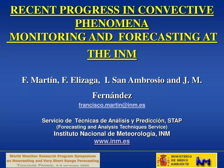
RECENT PROGRESS IN CONVECTIVE PHENOMENA MONITORING AND FORECASTING AT THE INMF. Martín, F. Elizaga, I. San Ambrosio and J. M. Fernándezfrancisco.martin@inm.esServicio de Técnicas de Análisis y Predicción, STAP(Forecasting and Analysis Techniques Service)Instituto Nacional de Meteorología, INMwww.inm.es
Summary of the presentation • Outlook of convection monitoring at INM • Integration of remote sensing data and NWP output: • Regional level: hail module • National level • Doppler radar-based products • Specific products for end-users • Conclusions
Convection monitoring at INM: Basic approach • Specific oriented NWP output for deep moist convection: CAPE, CIN, SRH,… Maps from ECMWF and HIRLAM models • Pseudo sounding derived from NWP models and thunderstorm oriented parameters • MSG imagery and Nowcasting SAF products • Integration of remote sensing data: • Regional level • National level
Specific oriented NWP output for deep moist convection: CAPE, CIN, SRH,.. maps from ECMWF and HIRLAM models: One example Lift Index & Wet bulb Potential Temperature at 850 hPa Low Level Winds & CAPE Storm Relative Helicity & Potential Instability at 700 hPa Convective Precipitation
Integration of CG lightning and radar dataData and methodology • Data • Regional radar data: 1 PPI + 12 CAPPIs (0.5-16 km) + derived radar products (Echotop, VIL, ZMAX, ..) in non Doppler mode, every 10 min., 2 Km x2 Km. Other data in Doppler mode • National composite radar data: PPI, CAPPI-2.5 Km height, VIL, Echotop, ZMAX… en non Doppler mode, every 10 min., 2 Km x2 Km. Other data in Doppler mode • CG data, MSG-MET8 imagery and HIRLAM/ECMWF model output • Procedures for radar-based convective identification Two procedures have been adapted for monitoring and tracking of radar-based convective storms , taking to account the INM radar data and facilities: • Bidimensional procedure, 2D, is applied on lowest radar elevation on PPI/CAPPI/ZMAX images: Steiner-Youter-Houze, SYH, technique (regional and national data!!!) • Three dimensional procedure, 3D, is applied on the 12 CAPPIs: SCIT algorithm (“Storm Cell Identification and Tracking”), developed by Johnson et al. (1998). At regional level!!!.
Integration of lightning and radar data:(I) • Radar and lighting data fusion • 2D. PPI (CAPPIo ) (t) + lightning data (t-10 min., t) are combined. Radar-based convective objects + CG strikes • Spatial integration at “t” and backward movement of 2D convective structure up to t-10 min., for a temporal integration • Linear extrapolation of lightning and 2D convective structures up to 60 min. ------------------------------------------------------------------ • Cluster analysis • Non radar-combined “CG” strikes are clusteredby just distance criterion • Tracking and linear extrapolation of lightning clusters are not applied in the operational procedure
Integration of lightning and radar data Regional and National levels:Flow Chart(II) MSG imagery as a background image (2005) IR10.8 at night HRVIS daytime
Integration of lightning and radar data: (III) • Identification of convective structures, 2D: • Radar data to use: • Regional level: The lowest PPI (or a low CAPPI) • National level: ZMAX composite image • SYH, procedure for convective – stratiform separation (2D) • SYH convective criteria: • Intensity criterion • Peakedness or gradient criterion • Surrounding area criterion
Integration of lightning and radar data: regional level (IV)
Cluster Procedure (I) • Data • CG strikes, which have not been combined with convective radar structures, are clustered • Procedure • A lightning cluster is a set of CG flashes if for any lightning “i” exists at least other “j” and the distance Dij ≤10 km • A cluster is analysed if its CG number is superior or equal to 10 strikes (number of positive and negative strikes, centroid location, maximum and minimum distances among strikes) • None extrapolation is performed
Examples at regional level (I) • Radar ambiguities for long distances and mountainous areas • Example using Version 1.0
Examples at regional level (II) • CG clusters at mountainous areas (radar screening) • Anomalous CG+ /PSD (Positive Strike Dominated) supercell
Integration of lightning and radar data: national level (I) • Identification of convective structures • Radar image to use: A national composite image of maximum of reflectivity from regional radar data, ZMAX, every 10 min., 2 x 2 km • When a national pixel is covered by different radars, the maximum value of ZMAX is selected • SYH procedure for convective – stratiform separation is applied • The same procedure of assignment of CG and convective radar-based structure data is applied at national level • Clustering procedure is applied when CG lightings have not been assigned.
Integration of lightning and radar data: national level (II) • Example: Thunderstorms over the Iberian Peninsula and airports graphical warning Airports
Identification of 3D convective cell • SCIT: “Storm Cell Identification and Tracking” procedure, developed by Johnson et al. (1998), has been adapted at INM using the 12 CAPPIs from regional radar data every 10 minutes. • 3D Cell properties, extrapolation and tracking are performed
Monitoring of deep convection at regional level (I): hail module Hail 2D Analysis: PPI+IR MSG +Lightning + NWP data 3D Analysis: 12 CAPPI + NWP data + hail Module
Monitoring of deep convection at regional level (II): Close up view • Alicante supercell • Hail output: “G” denotes severe hail potential
Doppler radar-based products • VAD (Velocity Azimuth Display) • Identification of mesocyclone (Version 0.1 non operational)
Identification of mecocyclone Doppler radial velocity image Special patterns • Data.Wind radial velocity data of one Doppler PPI (Winr) • Methodology. Identification of special patterns with two well-defined and opposite maxima HRVIS Severe convection
Specific products for end-users • Up to forty special hot spots (airports, cities), where special attention is needed, may be selected at each regional and national levels (i.e. aeronautical authorities) • Radius of surveillance are defined at each hot spot. • When a CG lightning strikes are into these circular areas or are likely to move into them, warning messages are issued.
Conclusions • Objective procedures have been developed at INM to integrate different types of data at national and regional levels for monitoring deep moist convection. • Graphical and text format products are generated automatically for helping forecasters • External end-users are requiring special tailored products associating remote sensing information such as CG products. • Doppler radar-based products will be developed in the next future for monitoring convective wind velocity patterns (mesocyclone, intense convergence and divergence). • In the next future, GIS information will be included in the automatic procedures to enhance all remote sensing information.