Download
1 / 11
110 likes | 254 Views
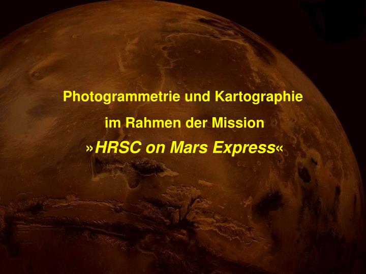
Photogrammetrie und Kartographie. im Rahmen der Mission » HRSC on Mars Express «. ESA-Raumsonde “Mars Express”. Start am 2. Juni 2003 In der Umlaufbahn seit Januar 2004. Schema der Daten-Aufnahme. 9 CCD-Zeilen mit je 5184 Pixeln. Die Bildkanäle der HRSC.

E N D
Photogrammetrie und Kartographie im Rahmen der Mission »HRSC on Mars Express«
ESA-Raumsonde “Mars Express” Start am 2. Juni 2003 In der Umlaufbahn seit Januar 2004
Schema der Daten-Aufnahme 9 CCD-Zeilen mit je 5184 Pixeln
Die Bildkanäle der HRSC 5 Stereokanäle (+18,9°, +12,8°, 0°, -12,8°, -18,9°) 4 Farbkanäle (Nahes Infrarot, Rot, Grün, Blau)
Erste HRSC-Bildstreifen Aufnahmen im Januar und Februar 2004
Topographic Image Map 1:200 000 10324 Blätter Sinusoidal + 48 Blätter Lambert Azimutal = 10372 Blätter
Beispiel Ein Beispiel