Download
1 / 25
270 likes | 488 Views
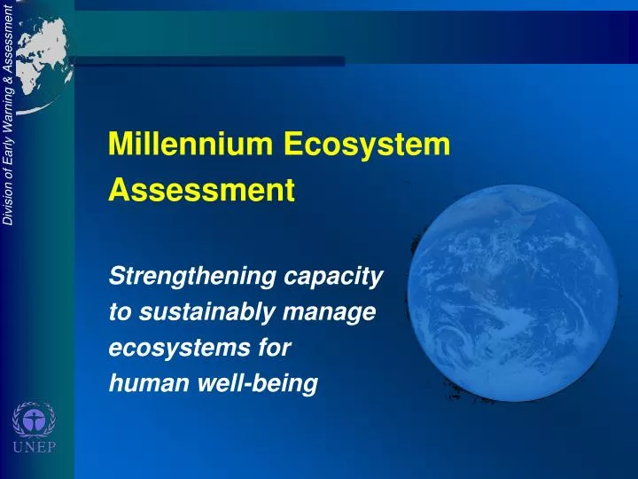
Millennium Ecosystem Assessment Strengthening capacity to sustainably manage ecosystems for human well-being. MILLENNIUM ECOSYSTEM ASSESSMENT PROJECT River Basin Sub-global Assessments Sherry Heileman & Dave MacDevette UNEP - Division of Early Warning and Assessment.

E N D
Millennium Ecosystem Assessment Strengthening capacity to sustainably manage ecosystems for human well-being
MILLENNIUM ECOSYSTEM ASSESSMENT PROJECTRiver Basin Sub-global AssessmentsSherry Heileman & Dave MacDevetteUNEP - Division of Early Warning and Assessment
MILLENNIUM ASSESSMENT BACKGROUND • A 4-year (2001-2005) international assessment of current and future ability of ecosystems to meet human needs for goods and services • Under the auspices of the CBD, the CCD, the Ramsar Convention on Wetlands, and other partners • Funded by the GEF, UNF, Packard Foundation, World Bank, Government of Norway, and UNEP • In-kind contributions from other UN Agencies, EC, and USA
OBJECTIVES • to meet needs of users for peer reviewed, policy relevant scientific information on ecosystems, the goods and services they provide, and options for meeting policy goals • to build capacity at all scales to undertake integrated ecosystem assessments and to act on their findings
THE MILLENNIUM ASSESSMENT A demand-driven assessment • USERS • Ecosystem-related conventions • - Convention to Combat Desertification • - Convention on Biological Diversity • - Ramsar Convention on Wetlands • National (sub-national) government • Local Communities • Civil society • Private sector
The MA will • Assess how changes to ecosystems will affect their ability to meet human demands for goods and services • Examine economic, public health, and social consequences of changes • Address impacts of multiple drivers • Seek to provide information that can be used to better weigh trade-offs among ecosystem goods and services through integrated assessments
Climate Change Climate Change Land Cover Change Biodiversity Loss Nutrient Loading Etc. Energy Sector Biodiversity Food Supply Water Ecosystems Health Health Economics Economics Social Social IPCC MA MA will address impacts of multiple drivers Driver Response Human Impact
DESIGN The MA is a “multiscale” assessment (local to global spatial scales) At global level- • assessment of ecosystem state and trends • development of scenarios • exploration of response options At subglobal level- • assessments will be conducted at local, national, and regional scales
UNITS OF ANALYSIS The MA uses the ecosystem as one unit of analysis Ecosystem: A system formed by the interaction of a community of organisms with their environment - e.g. lake, river basin, politically defined region
RIVER BASIN ASSESSMENTS OBJECTIVES • Provide information for decision-making • Build capacity for integrated ecosystem assessments • Develop and test methodology for integrated multiscale ecosystem assessments
RIVER BASIN ASSESSMENTS • The Lancang-Mekong river basin • Norway – the Glomma • Sweden – a semi-urban watershed • Switzerland, Germany, Austria - Lake Constance Drainage Basin
SOUTHERN AFRICA RIVER BASIN ASSESSMENTS Multinational river basins- • Gariep river basin • Zambezi river basin • Okavango river basin An experiment- Assessments conducted at local, river basin and regional scales, with integration across scales
THE GARIEP RIVER BASIN Objective To assess the current and future impacts of human activities on the capacity of ecosystems within this catchment to meet present and future needs
THE GARIEP RIVER BASIN Activities • Development of indicators (at each scale) • Driving forces (e.g. land use changes, climate change) • Response (e.g. vegetation cover, water quality) • State (e.g. % arable land/crop type, % habitat loss)
THE GARIEP RIVER BASIN Activities • Status quo assessment consolidation of all indicators into a single, consolidated view of ecosystem health and resilience • Scenario development (economic & social decline, rampant economic growth, sustainable development)
THE GARIEP RIVER BASIN Activities • Software and report generation • CD-based dynamic system model for scenario exploration by decision-makers • Scientific and popular reports
THE ZAMBEZI RIVER BASIN Objectives • Characterize the regional ecosystems and assess the condition of goods and services in the countries of the Zambezi catchment. • Define scenarios of future state and major drivers of change at catchment and subcatchment levels
THE ZAMBEZI RIVER BASIN Assessment will include • Condition/state (land cover, forest and soil carbon, water supply & quality, climate data & characteristics) • Pressures (on major land cover types & uses, forcing factors, population projections) • Scenarios of major drivers of change • Impacts of land use change • Responses and policy options (with stakeholder groups)
THE ZAMBEZI RIVER BASIN Activities • Map land use and cover to give 1990 and 2000 baselines • Define major drivers of environmental change at catchment and subcatchment levels • Identify regional level ecosystem contributions to livelihood systems
THE ZAMBEZI RIVER BASIN Activities • Analyze the interrelationships between the ecological, climate and socio-economic systems in the basin, including adverse impacts of land degradation and climatic extremes (through integrated assessment and modeling) • Build capacities of southern African individuals and organizations in ecosystem assessments
THE ZAMBEZI RIVER BASIN Outputs • Near real-time state of land use and land cover • Provision of integrated information for all countries • A dynamic representation of the interrelationships between different factors • Data and insights into regional connectivity in pressures and impacts • One stop shopping for data on broad suite of variables
DATA MANAGEMENT The model for the Southern Africa data management system is the Safari 2000 data and information system. It consists of three elements: • A data sharing agreement between project participants • A commitment to provide the regional facilitator with metadata • A mechanism for post project data archive and dissemination
CONTACTS Gariep basin Prof. Albert S. van Jaarsveld Centre for Environmental Studies University of Pretoria South Africa AsvJaarsveld@zoology.up.ac.za Zambezi basin Dr. Paul V. DesankerDepart of Environmental Science, University of Virginia, 104 Clark Hall, Charlottesville, VA 22903 USA Desanker@virginia.edu
MILLENNIUM ECOSYSTEM ASSESSMENT WEBSITE www.millenniumassessment.org