Download

1 / 16
160 likes | 377 Views
CITY OF PRATTVILLE, ALABAMA G.I.S. INFRASTRUCTURE. PRATTVILLE, ALABAMA. Population 35,000 Area 34 Square Miles County Seat of Autauga County Mayor: Jim Byard, Jr. 1999 – Present Preceded by David Whetstone, Jr. City Limits in both Autauga and Elmore Counties. PRATTVILLE – SINCE 1833.

E N D
PRATTVILLE, ALABAMA Population 35,000 Area 34 Square Miles County Seat of Autauga County Mayor: Jim Byard, Jr. 1999 – Present Preceded by David Whetstone, Jr. City Limits in both Autauga and Elmore Counties
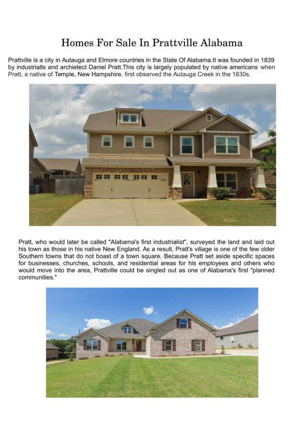
PRATTVILLE – SINCE 1833 OCTOBER 1937 MARCH 2005 Prattville was founded in 1833 by New Hampshire native and Industrialist Daniel Pratt. In the beginning Prattville thrived off of cotton produced on the banks of Autauga Creek. Prattville is known as the Birthplace of Industry in Alabama and is nick-named The Fountain City in representation of the many natural artesian wells.
PLANNING & DEVELOPMENT / ENGINEERING • Provide terrain analysis and D.E.M. to Planners, Engineers, and Private Firms using Spatial Analyst • Hydrology studies aid in code enforcement and insurance regulation • SOURCE: • DFIRM hydro update ‘08 • Aerial & Contour (2Ft interval) ‘05
PLANNING, ZONING, LAND USE Individual address analysis city wide Structure Condition, Business Name, Land Use, Quality of Living & Access Convenience Nearly 14,000 addresses
DEVELOPMENT DATA TRACKING Maintain data repository for historical reference of development Record keeping of permit issuance Aid in jurisdictional code enforcement
LAW ENFORCEMENT Offender Radius Tracking Child Facility List provided by DHR Updated bi-annually / as needed No residence or work Permitted in shaded area 2000 ft polygon generated based on center of tax parcel
Pinpoint address geocoding Listing of affected child facilities, schools, daycares, etc. Adding Parks Proposal Provides documentation in case files and legal proceedings in court
FIRE AND EMERGENCY RESPONSE 3 Stations, ISO Rating 2 Station 4 location confirmed, station 5 location under research Road accessibility and timed response studies with Network Analyst Extension GPS collected fire hydrants updated bi-annually / as needed
Bi-annual hydrant flow Hydrant type, quality, class rating stored in Hydrant Master Geodatabase Grid map book aids firefighters in tracking completed flow test
All GPS and hydrant flow test data entered and provided to each station for use in emergency response Responder know water source location prior to arrival NEXT STEPS: Mobile Data Structural Floor Plan Imaging City Wide Database of Buildings with Sprinkler System Installation, including Residential
Autauga Co. Station Territories Converted into Spillman Software format used in dispatch Polyline Geocoding NEXT STEP County Wide Address Point Geodatabase Provide Point Geocoding
GEOCODING OPTIONS LINE BASED GEOCODING POINT BASED GEOCODING Currently running line based. Points are more accurate, line based can be off set. Database standardized upon creation to break line segments at each intersection. In process of breaking segments also at fire territory boundaries, law zones, city limit lines, etc.
AUTAUGA COUNTY EMERGENCY MANAGEMENT AGENCY (EMA) Latitude / Longitude recording of county wide safe room locations Installation granted to home owners through EMA grant money Continual installation increase over recent years
EMA EMERGENCY SIRENS Blue = existing coverage Green = Proposed siren location Two mile audible radius EMA is actively engaged in educating residents on precautionary measures
RYAN PECHARKA G.I.S. COORDINATOR CITY OF PRATTVILLE, AL DEPARTMENT OF PLANNING AND DEVELOPMENT (334) 361-3613 Ryan.Pecharka@Prattvilleal.gov www.Prattvilleal.gov