Download
1 / 17
180 likes | 351 Views
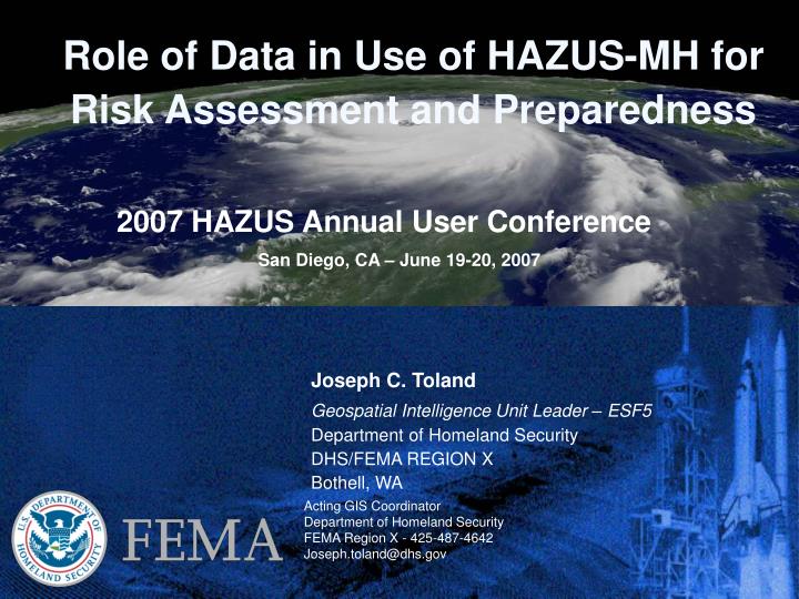
Joseph C. Toland Geospatial Intelligence Unit Leader – ESF5 Department of Homeland Security DHS/FEMA REGION X Bothell, WA. Role of Data in Use of HAZUS-MH for Risk Assessment and Preparedness. 2007 HAZUS Annual User Conference San Diego, CA – June 19-20, 2007. Acting GIS Coordinator

E N D
Joseph C. Toland Geospatial Intelligence Unit Leader – ESF5 Department of Homeland Security DHS/FEMA REGION X Bothell, WA Role of Data in Use of HAZUS-MH for Risk Assessment and Preparedness 2007 HAZUS Annual User Conference San Diego, CA – June 19-20, 2007 Acting GIS Coordinator Department of Homeland Security FEMA Region X - 425-487-4642 Joseph.toland@dhs.gov
Overview Topics • Data Collection and Response Operations • HAZUS and RNA Support • Pre –Event Strategies for Geospatial Preparedness • HAZUS and HMGP Grants
FEMA GIS –Response Data Collection and Response Operations
FEMA GIS –Response • Data Collection from ESFs During Early Response Operations (<72hrs) • Common Operating Picture (COP) • Provide Situation Awareness for Key Issues • Enable Decision Support • Interagency Coordination • Concept of Operations (CONOPS)
FEMA GIS – Current • Ad Hoc Operational Plan for Information Collection and Data Development • Coordinated through SitStat (ESF#5) • Embedded a SitStat Liaison for data collection in Major ESFs • The USCG PFO Command Staff assigned (2) USCG Commanders to coordinate and validate information. • Data consolidated into a digital format, according to Geospatial Unit requirements. • Reporting and Support Product schedule developed. • Sitstat (10+ People) Served as Data Collection, Validation and Development Team for Geospatial Unit. • PFO Briefing Every Operational Period • Oct 6, 2005 - 16 of 24 Slides – Geospatial Products Produced Every Day!
FEMA GIS – Future • Geospatial Support CONOPS for ESF Missions • A Reference Product (SOP) for Supporting EACH ESF Based upon their Missions Under the NRP is Required • A Data Model/ Geodatabase Schema for EACH ESF to be Employed by the ESF for: • Meeting Operational Requirements for the ESF – Decision Support • Meeting Reporting Requirements for ESF #5 – Situation Awareness • Supporting Geospatial Products for Both… Data is the New Paradigm!
FEMA GIS – HAZUS and RNA Support HAZUS and Rapid Needs Assessment (RNA) Support
FEMA GIS – HAZUS and RNA Support • Summary of Impacts for Hurricane Katrina • Developed on August 30, 2005 • 21-hours after landfall (August 29, 2005) • Rapid Needs Assessment (RNA) tool for the Emergency • Response Team – National (ERT-N). • Later superseded by the official field/aerial Rapid Needs • Assessment (RNA) completed by September 1, 2005.
FEMA GIS – HAZUS and RNA Support • Summary of Impacts were determined by analysis of multiple factors including: • Maximum Sustained Winds, • Peak Wind Gusts, • Evacuation Orders, • State of Emergency Declaration, • Mission Assigned Resources, • Power Outages, and Sheltered Population versus County Population and density • Areas of Impact (AOI) from datasets were compared at the county level to assign a weighted value ranked: LOW-MEDIUM-HIGH.
FEMA GIS – HAZUS and RNA Support Summary of Impacts Database
FEMA GIS – HAZUS These HAZUS MH Products were also provided to the Regional Response Coordination Center (RRCC). • TotalDollarLosses.pdf • SteelConcreteDebris.pdf • NursHomeWindExposure.pdf • MobHomWindExposure.pdf • HospitalSloshExposure.pdf • DesignLvlExceedence.pdf • BrickWoodDebris.pdf
FEMA GIS – HAZUS and RNA Support • FEMA RX – RRCC – Winter Storms – ’06-’07
FEMA GIS –Preparedness Pre –Event Strategies for Geospatial Preparedness
Texas Geospatial Emergency Management Support System (TGEMS) Geospatial Preparedness - Texas PREPAREDNESS TGEMS MITIGATION DATABASE RESOURCES • DATA SHARING • INTERAGENCY SUPPORT AGREEMENTS • STRENGTHEN STATEWIDE CAPABILITY • CRITICAL FACILITIES AND INFRASTRUCTURE • PRIVATE SECTOR COORDINATION • RESEARCH/ ACADEMIC • HAZUS/NFIP MODELING • VULNERABILITY ASSESSMENT • ANALYSIS COORDINATION DATA MODEL COMMUNICATION INFRASTRUCTURE REAL-TIME DATA RESPONSE & RECOVERY • DPS DEM – STATE RESPONSE EFFORT • FEMA – FEDERAL RESPONSE EFFORT CENTRALIZED INFORMATION MANAGEMENT
FEMA GIS –Preparedness • Hazard Mitigation Grant Program (HMGP) • State an Local Governments/Private Non-Profits/Tribal Governments • Federal State Cost Share - (75%-25%) – In-kind • Planning Grant – Geospatial Preparedness • Contact State Hazard Mitigation Officers (SHMO) http://www.fema.gov/about/contact/shmo.shtm