Download
1 / 30
420 likes | 512 Views
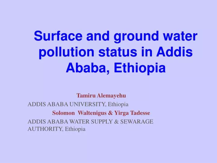
Surface and ground water pollution status in Addis Ababa, Ethiopia. Tamiru Alemayehu ADDIS ABABA UNIVERSITY, Ethiopia Solomon Waltenigus & Yirga Tadesse ADDIS ABABA WATER SUPPLY & SEWARAGE AUTHORITY, Ethiopia. INTRODUCTION. Addis Ababa is the capital of Ethiopia

E N D
Surface and ground water pollution status in Addis Ababa, Ethiopia Tamiru Alemayehu ADDIS ABABA UNIVERSITY, Ethiopia Solomon Waltenigus & Yirga Tadesse ADDIS ABABA WATER SUPPLY & SEWARAGE AUTHORITY, Ethiopia
INTRODUCTION • Addis Ababa is the capital of Ethiopia • Since its foundation, the city has grown from sparse and scattered settlements to an expansive and highly populated city.
Addis Ababa lies in the center of the country on the western escarpment of the main Ethiopian rift. • The altitude of the city varies from 2100 m a.s.l. to 2700 m a.s.l. • The city covers an area of about 530 km2 with a population of more than 3,000,000 inhabitants. • The environment of the city is threatened by severe pollution due to anthropogenic activities for more than a century.
GEOLOGY • The region is constituted by volcanic rocks ranging from acidic to basic in composition (27 to 3.2 Ma). • The typical volcanic centers of the region are the Entoto Ridge (3200 m a.s.l), Mt. Wochacha (3385 m a.s.l), Mt. Yerer (3100 m a.s.l), Mt. Furi (2839 m a.s.l).
DRAINAGE • Big and Little Akaki rivers, with their different tributaries, drain the city from north to south. • Big Akaki (900 km2) and Little Akaki basin has a catchment area of about 540 km2.
The rocks are highly fractured and permit fast circulation of the pollutants over large distances and to a great depth. • Taking into consideration the underlying fractured rocks and the widespread uncontrolled waste disposals, groundwater in Addis may be generally considered as highly vulnerable to any type of pollution. • IT IS UNLIKELY TO CLEAN POLLUTED AQUIFERS. • Hence groundwater must be protected above all where, rising up in the form of springs, are the only source of water supply for the community.
The streams serve as natural sewerage lines for domestic and industrial wastes, hence making them known for their offensive odor. • Eutrophication process in the streams is a result of water pollution
WASTE DISPOSAL • In the city are septic tanks, open dumps and surface impoundments. • The majorities of private septic tanks are characterized by open bottoms or peculiar channels, which facilitate the seepage in depth or the direct connection with the nearby streams. • Large and small-scale factories are clustered within the city having unregulated waste disposal systems.
The major solid waste disposal site of the city is located within the city premise that pollute the urban environment. It is open system, no impermeable layer with continuous low temperature burning.
The most known large-scale human activities producing dangerous refuses are: • garages, • car washing centers, • petrol stations, • chemical factories, • paint factories, • tanneries, • slaughterhouses, • market centers, • breweries, • textile factories, • hospitals • tyre factories, • thread and garment factories, • oil mills, flour mills, • metal works, • tobacco factories, • pharmaceutical factories, • Cemeteries
The most widespread diseases in the city are: • flu, • typhus, • acute bronchitis, • bronco pneumonia
Water supply: • There are three dams that supply the city with treated water. • At least there are about 271 boreholes distributed in the city with a maximum yield of a single well of 87l/s. Highly productive aquifers are located in the southern part of the city. • Numerous cold and thermal springs
Volume Three dams= 173,000 m3/day Wells & springs=10,000 m3/day Akaki wells= 30,000 m3/day Supply cover=70% of the population
Surface water pollution problem: Turbidity and algae Increase in the use of AlSO4 for coagulation due to increase in turbidity leave Al in public water Use of CuSO4 for Algae eradication leaves Cu in public water There is a basin plan study but requires financial support
GROUNDWATER POLLUTION PROBLEM Case study: • Focused on streams, rivers, springs and boreholes Heavy metals, total coliform and nitrate
Streams (ppb)Heavy metals 01 02 03 04 05 06 07 pH 7.59 7.68 7.90 8.00 8.03 7.31 7.51 Mn 34.1 1756 6531 1219 1190 2044 2538 Cr <0.1 14.12 <0.1 <0.1 2.28 <0.1 13.31 Ni 44.45 4.8 <0.1 <0.1 5.05 8.9 <0.1 As <0.1 2.3 <0.1 0.6 0.42 2.2 2.88 Pb <0.1 <0.1 <0.1 <0.1 <0.1 <0.1 <0.1 Zn <0.1 <0.1 <0.1 <0.1 <0.1 <0.1 <0.1
Springs (ppb)Heavy metals 08 09 10 11 12 13 MCL pH 6.90 6.50 6.32 6.40 5.93 7.60 Mn 0.3 21.47 128 5.1 24 0.39 100 Cr 1.88 1.18 0 5.85 1.21 0.94 50 Ni <0.1 <0.1 <0.1 0.49 0.92 0.53 100 As 1.0 <0.1 <0.1 0.22 0.2 0.2 50 Pb <0.1 <0.1 <0.1 8.33 4.31 15.5 50 Zn <0.1 <0.1 <0.1 9.35 8.06 0.87 5000
BOREHOLE (ppb) Heavy Metals 14 15 16 17 18 19 20 pH 7.62 7.44 6.98 7.53 6.42 8.03 7.68 Mn 0.86 0.64 5.25 3.48 1.97 16.9 1.75 Cr 0.69 0.86 3.29 0.22 0.72 0.24 1.8 Ni 0.57 0.31 0.33 0.69 0.63 <0.1 0.51 As 0.37 0.3 0.3 0.32 0.2 0.63 0.5 Pb 25.1 8.98 10 25.3 15.7 9.75 4.66 Zn 23.3 85.8 3.9 34.2 33.5 10.3 20.5
Total coliform count Sample code . Streams 01 560/ml 02 Too Many to Count (TMC) 03 660/ml 04 Too Many to Count (TMC) 05 1010/ml 06 Too Many to Count (TMC) • Springs 07 290/ml 08 350/ml 09 Nil
Total coliform count • Borehole 10 10/ml 11 160/ml 12 24/ml 13 16/ml 14 340/ml 15 24/ml 16 8/ml • Storm drain 17 3000000/ml 18 350000/ml 19 6000000/ml 20 20000/ml 21 100000/ml
Nitrate Streams 8.9-531 mg/L Springs 55-728 mg/L Boreholes 0-35 mg/l
CONCLUSION • Heavy metal pollution • Total coliform and pathogen pollution • The major part of the city including some part of the Akaki well field, has bare rock outcrop–high risk for pollution • The Akaki well field is crossed by railway and high way-potential danger • The unconfined aquifer in the city center and along the rivers is vulnerable.
Klimas A.A. (1998) Impact of urbanization and protection of water resources in the Vilnius district, Lithuania. Hydrogeology Journal 3(1):24-35. • Lerner D.N and Barrett M.H (1996) Urban groundwater issues in the United Kingdom. Hydrogeology Journal. 4(1): 80-89. • Tamiru Alemayehu (1999). Groundwater pollution in Addis Ababa. Ethiopian Herald. Wednesday May 19, 1999 • Tamiru Alemayehu (2000). Water pollution by natural inorganic chemicals in the central part of the Main Ethiopian Rift (SINET: Ethiopian Journal of Science 23(2):197-214. • Tamiru Alemayehu (2000). Effects of uncontrolled waste disposal on surface and ground water system in Addis Ababa: a case study. Ethiopian Herald Tuesday Agust1-2000 • Tamiru Alemayehu (2001). The impact of uncontrolled waste disposal on surface water quality in Addis Ababa. (SINET: Ethiopian Journal of Science 24(1):93-104