Download
1 / 6
120 likes | 704 Views
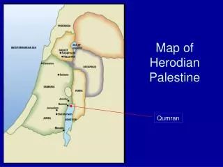
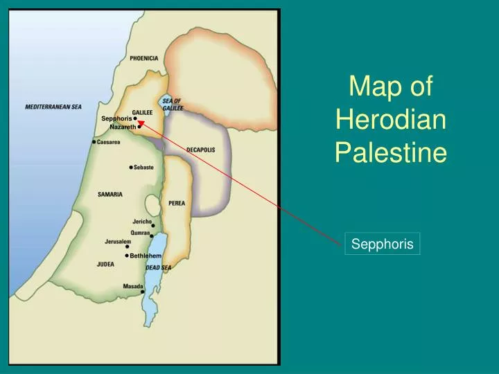
Map of Herodian Palestine. Sepphoris. Nazareth. Sepphoris. Bethlehem. Colonnaded Street at Sepphoris. Sepphoris Herod Antipas’ Galilean capital. “The ornament of all Galilee.” Splendid Roman-style city. Colonnaded streets. Monumental buildings. Ornate mosaics.

E N D
Map of Herodian Palestine Sepphoris Nazareth Sepphoris Bethlehem
Colonnaded Street at Sepphoris • Sepphoris • Herod Antipas’ Galilean capital. • “The ornament of all Galilee.” • Splendid Roman-style city. • Colonnaded streets. • Monumental buildings. • Ornate mosaics. • Its urban luxury contrasts sharply with poverty of surrounding peasant villages.
Mosaic Floors at Sepphoris “Mona Lisa of Galilee”
“Nile Mosaic” at Sepphoris Depicts scenes from Egypt, including the flooding of the Nile and the famous lighthouse at Pharos.
Sepphorisas Viewed from Nazareth • Sepphoris • Located only 4 miles from Nazareth. • Sepphoris was rebuilt during Jesus’ childhood. • As carpenters, Joseph and/or Jesus could have worked on its rebuilding. • Jesus saw the luxury which wealthy rulers enjoyed at the expense of poor peasants. Modern Nazareth is in the foreground. Ruins of Sepphoris are on green hill in background. Ancient Nazareth was a mere village.