Download
1 / 31
310 likes | 431 Views
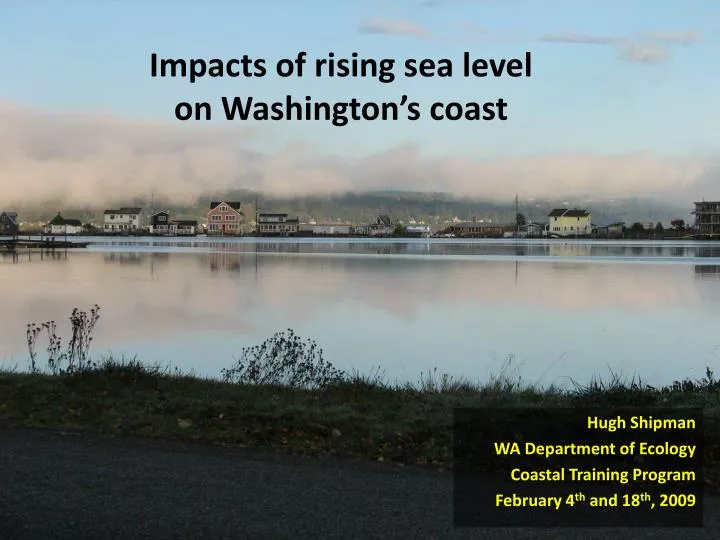
Impacts of rising sea level on Washington’s coast. Hugh Shipman WA Department of Ecology Coastal Training Program February 4 th and 18 th , 2009. Overview. Different geomorphic settings will respond differently Response will be driven by events

E N D
Impacts of rising sea level on Washington’s coast Hugh Shipman WA Department of Ecology Coastal Training Program February 4th and 18th, 2009
Overview • Different geomorphic settings will respond differently • Response will be driven by events • Management issues will be familiar, but more difficult
Global Sea Level Rise • Huge uncertainty, with wide range of predictions (5”-29”) by 2100 • Emissions > climate > ocean > sea level (stacked models) • Ice sheet dynamics too uncertain to include – yet potentially important • Scenarios, not predictions with quantifiable probabilities IPCC, 2007
Regional sea level Global trend (eustatic), plus/minus: • Vertical Land Movements (Geology) • Atmospheric/Oceanographic influences • Tidal dampening/amplification Seattle monthly sea level (1900-2008)
Not all shorelines are the same … • Landform • Rocky Shorelines • Bluffs • Beaches, and Spits • River deltas • Estuaries and Lagoons • Land Use • Natural • Residential • Suburban • Urban • Port and Industrial
Geomorphic Setting Landform percentages for Puget Sound approximate (preliminary data PSNERP)
Geomorphic Response • Rate of sea level rise • Frequency/character of storms/events • Landform (rocky, spit, bluff, marsh, delta) • Ability of landform to shift laterally • Availability of sediment Influence of sea level depends on:
Rocky Coasts • Simple inundation, little response • Low vulnerability
Coastal Bluffs • Erosion and retreat • Scale and type of landsliding • Sediment supply • Morphology • Vegetation
Coastal Bluffs Widespread on Puget Sound. Primarily residential development. Often hazardous due to erosion and landslides. Extensive armoring, but existing concerns about long-term ecological impacts. • Increased erosion rates and landsliding • Escalating damage to seawalls, with need for progressively larger, more expensive measures over time • Beach habitats squeezed out where shorelines armored • Shift from forested bluffs to unstable bare slopes • Changes in bluff erosion may impact beaches in elsewhere along shoreline Gig Harbor
Spits and Barrier Beaches • Erosion, overwash • Migration • Breaching, instability • Inlet configuration
Spits and barriers are common on Puget Sound. Many protect valuable salt marshes and estuaries. Residential development common, although many remain as parks and reserves. Spits and Barrier Beaches • Increased frequency and severity of flooding and storm damage • Rapid erosion and potential for breaching • Failure of septic systems; threat to water supply and utilities • Loss of beaches where shoreline is armored • Loss of associated wetland and estuarine habitats Bainbridge Island
Salt Marshes • Marsh accretion • Marsh erosion • Tidal prism • Marsh migration Foulweather Marsh
River Deltas Low-lying river deltas are subject to extensive inundation. Extent will depend on degree of diking and commitment to maintaining protection as costs escalate. Most deltas are dominantly agricultural. A few are urban and industrial. • Increased costs of repairing and maintaining dikes and levees • Loss of nearshore habitats seaward of dikes • Increased flooding, soil saturation, drainage problems • Significant influence on long term decisions regarding agricultural use or ecological restoration • Increased intrusion of saltwater into estuary Skagit Delta
Beach systems Complex Shoreline Response Erosion and retreat Accretion, migration Longshore transport Feedbacks Complicated response… Could sea level cause some shorelines to build seaward? Beach and bluff responses may influence estuary trajectories. Armored shorelines will behave differently than unarmored ones. Net Transport
Extreme High Water Events( Floods ) Coastal Bluff 1x/yr 10x/yr Barrier Beach 100x/yr A one-foot rise in sea level will result in a 10-year event becoming an annual event; a 100-year event becoming a 10-year event.
Coastal Flooding • Extreme high water levels will increase over time • Flood events of any given magnitude will become more frequent • Longer flood durations • Drainage of low-lying areas more difficult Whidbey Island (4 February 2006) Camano Island State Park (4 February 2006)
Practicing for future sea level rise… During strong El Ninos, sea level in the Salish Sea can rise more than 15-20 cm, resulting in more frequent extreme high tides. 1998 El Nino 1983 El Nino Annual frequency of Seattle tides >13.0’ MLLW MHHW = 11.35’
Storms • Damaging storms will occur more frequently • Damage from storms will increase due to high water levels and increased wave action • Severity of storms may increase – independently of sea level rise Anacortes (4 February 2006) Whidbey Island (4 February 2006)
Erosion and Landslides • Erosion rates likely to increase in most locations • Landslides more frequent and possibly larger • Erosional events will occur more often • Patterns of sediment transport on beaches will be altered, leading to complex, perhaps rapid shoreline changes Port Townsend Magnolia Bluff, Seattle
Inundation Maps • Emphasize large, low-lying areas, subject to flooding, but tend to miss beaches and steep bluffs subject to erosion and more developed areas subject to severe storm damage. • Assumes static landscape with no geomorphic, or human, response to rising sea level • Limited incorporation of engineered shorelines such as dikes and levees • Maps only as good as scenarios….
Local inundation maps Olympia Port Townsend
Vulnerability Assessments Canada United States
Impacts of Rising Sea Levels • Increased frequency of damaging storms and floods • Gradual inundation of low-lying areas • Increased erosion rates • Loss or major shifts in nearshore habitats • Escalating costs of maintaining and repairing infrastructure • Effects on shellfish harvesting and agriculture in coastal areas • Seawater intrusion into coastal aquifers Houston Whidbey Island
Natural Areas Beaches, salt marshes, tide flats, stream mouth estuaries, and lagoons. Increasingly targets of restoration actions. • Habitats eliminated if they cannot migrate landward • Tidal dynamics and sedimentation likely to change • Viability of restoration actions will change or become less certain Jefferson County
Urban Waterfronts Shorelines of urban areas largely modified by landfill and seawalls. Extensive overwater development and marine facilities. Major investments in public and private infrastructure. • Increased risks to infrastructure • Treatment Plants • Transportation Corridors • Commercial and Industrial Waterfronts • Parks • Storm drainage systems require expensive fixes • Increasingly steep public costs to maintain, protect, and repair public facilities and property • Redevelopment opportunities Seattle
Ports Ports usually have heavily engineered shorelines. Freight handling requires extensive rail yards near water level. Associated industrial areas may contain currently or historically contaminated sites. • Increased maintenance and repair of port facilities • Increasing storm damage to piers and seawalls • Need to reconfigure or elevate freight handling yards and rail lines • Increased corrosion of tanks and pipes; increased leaching of contaminated soils • Opportunity to adapt during major facility updates Port of Seattle
Residential Most extensive land use on Puget Sound shorelines. Most on bluffs, some communities on beaches and spits. • Increased erosion and landslide risk • Increased flooding and storm damage • Demand for protective structures and post-disaster assistance • Response likely to reactive and uncoordinated • Significant environmental impacts Bainbridge Island
Hardened Shorelines • Hardening (armoring) includes seawalls, bulkheads, rip rap revetments, sea dikes, levees • Hardening shorelines will be natural and logical response to increasing erosion and storm damage • Result will be “coastal squeeze,” causing loss of beaches and coastal wetlands where shoreline cannot shift
Accelerated sea level rise underscores existing coastal management challenges: • Planning: Guide/contain shoreline development, beware coastal sprawl • Hazards: Anticipate and avoid, don’t just react and rebuild • Setbacks: from dynamic coastal features - bluffs, beaches, marshes • Armoring: Decide where you want it, and where you don’t, or you’ll get it everywhere • Restoration: Build resilience by restoring and protecting geomorphic processes, not specific habitat configurations
Thinking about accelerated sea level rise • Different environments will respond differently • Shoreline response is more complicated than simple inundation models suggest • Sea level will occur as a series of natural disasters – and this may drive the human response • Sea level will require better responses to existing problems