Download
1 / 32
320 likes | 488 Views
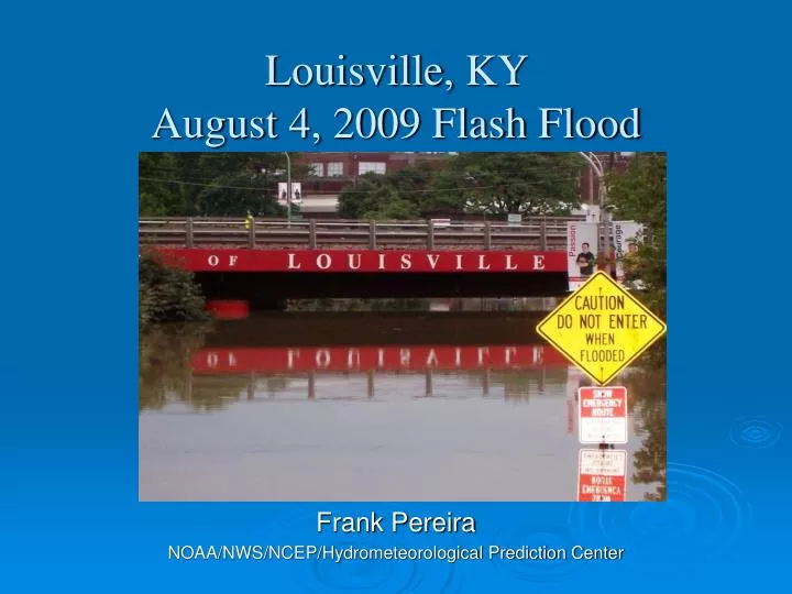
Louisville, KY August 4, 2009 Flash Flood. Frank Pereira NOAA/NWS/NCEP/Hydrometeorological Prediction Center. Motivation. Recent high-profile flood events highlight the need for situational awareness of low probability, yet high impact events. Louisville: Aug. 21, 2009.

E N D
Louisville, KY August 4, 2009 Flash Flood Frank Pereira NOAA/NWS/NCEP/Hydrometeorological Prediction Center
Motivation Recent high-profile flood events highlight the need for situational awareness of low probability, yet high impact events. Louisville: Aug. 21, 2009 Atlanta: Sept. 21, 2009 Nashville: May 1, 2010
Outline • Event Summary • Model and HPC Performance • Any Indication of Impending Event? • Spatial Density Plots • Conclusions and Discussion
Louisville Impacts • Rainfall amounts up to 6-inches fell between 1100Z and 1400Z across central Louisville • Five inches fell in 90-minutes from 1145Z to 1315Z • In Louisville, nearly 200 people rescued from the from the tops of cars and houses. • No fatalities or injuries. Courtesy of NWS WFO – Louisville, KY
SPC Analysis 04 Aug 12Z 500 mb Height and Vorticity & 700-400 mb Differential Vorticity Advection 850 mb Height, Temperature, Wind & Temperature Advection
SPC Analysis 04 Aug 00/12Z Precipitable Water, Upwind Propagation Vectors & 1000-500 mb Thickness
PWAT = 1.74 in. 04 Aug 12Z Nashville, TNSounding
observed HPC Ohio RFC NAM GFS Courtesy of NWS/OCWWS – National Precipitation Verification Unit Verification24-hr Amounts Ending 04 Aug 12Z
observed HPC Ohio RFC NAM GFS Courtesy of NWS/OCWWS – National Precipitation Verification Unit Verification24-hr Amounts Ending 05 Aug 12Z
HPC Excessive Rainfall Graphics • Displays the probability that precipitation will exceed the flash flood guidance values issued by the River Forecast Centers (RFCs) Valid 04/12Z – 05/12Z Issued ~1000Z
HPC Excessive Rainfall Graphics • Displays the probability that precipitation will exceed the flash flood guidance values issued by the River Forecast Centers (RFCs) Valid 04/15Z – 05/12Z Issued ~1400Z
850 mb wind and PWATS 850-700 mb Q-vector divergence & 850 mb warm air adv Moisture and Weak Warm Advection 12-hour GFS Forecast Valid 04 Aug 12Z Louisville Louisville
SDF Forecast Sounding 09-hour NAM Forecast Valid 04 Aug 09Z Courtesy of NWS WFO – Louisville, KY
High-Res Model Guidance HPC investigating utility of high-res model guidance to anticipate heavy rainfall threats Example from 4.0 km WRF-NMM (run @ EMC) initialized with the 04/00Z NAM
Integration of Hi-Resolution WRF guidance • High-resolution models are not accurate on the scale of individual grid points • However, high-resolution models can capture realistic amplitude of events • Use neighborhood approach (e.g., Schwartz et al. 2009) to give credit for the correct event/phenomenon, even if the placement is not perfect • Also known as “Spatial Density”
Neighborhood / Spatial Density Approach Model 1 h QPF 1” Binary • Create binary field where threshold exceeded (Flash Flood Guidance) • Smooth the resulting binary (1 or 0) distribution (using a Gaussian Smoother) Schwartz et al. (2009)
Creating the Exceeding FFG Density Plot Model 1 h QPF > FFG Density Raw data (1s & 0s) are run data through a Gaussian Weighted Filter to create an index of values from 0-100 Schwartz et al. (2009)
Density Plot • Used to raise forecaster’s situational awareness • Diagnostic Available from NCEP High Res Window runs and experimental EMC run • Not a silver bullet – • Limitations of using single models • Not calibrated (30% does not necessarily occur 30% of time) QPF > 3-hr FFG in 3 hrs SPCWRF4 (30-HR QPF)
Conclusions • Convection initiated ahead of warm front in a moist atmosphere along a weak low level jet • Event was poorly handled by lower resolution deterministic models and manual forecasts • High-resolution model input and spatial density plots may have been used to raise situational awareness