Download
1 / 10
110 likes | 259 Views
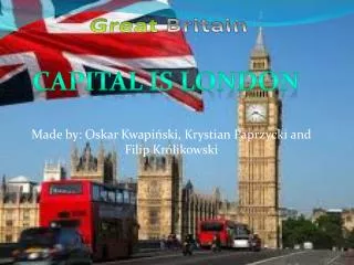
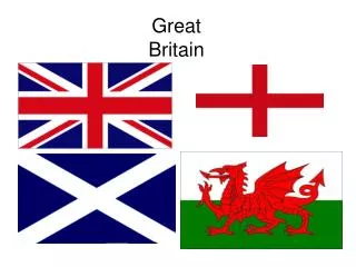
Great Britain. Can you identify each picture?. Basic Facts about GB.

E N D
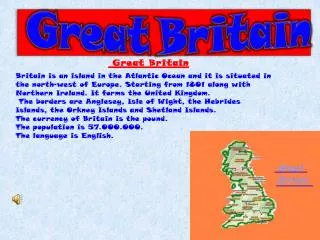
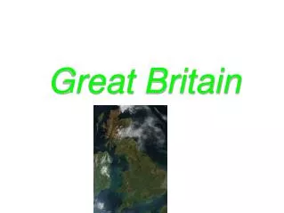
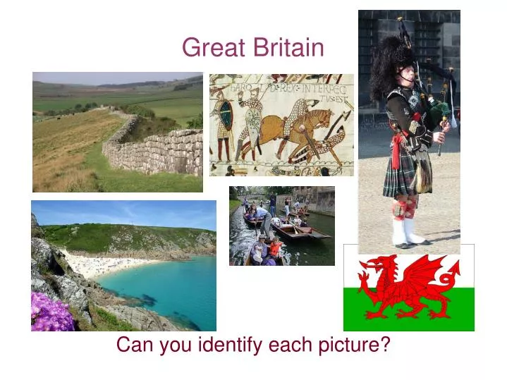
Great Britain Can you identify each picture?
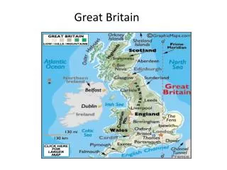
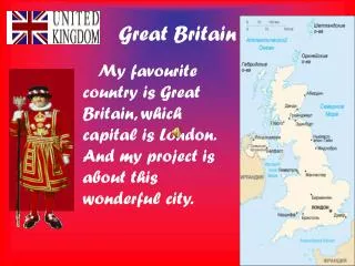
Basic Facts about GB Great Britain is an island situated to the northwest of the European continent. It is the largest island in Europe. Most of England, Scotland and Wales lie on the island of Great Britain, as are their respective capitals : London, Edinburgh and Cardiff. Great Britain is the largest island of the British Isles. British Isles is a geographical term for all the islands belonging to the UK of which the most famous ones are the Isle of Man, the Orkneys and the Shetlands. The population of Great Britain is around 60 million people. Economy: pharmaceutical industry, aerospace industry, North sea oil and gas reserves, finance and business exports of financial and business services, nuclear reactors, cars, pharmaceutical products, mineral fuels, gemstones, electrical machinery, chemicals Imports of computer parts, aircraft engines, cars, wheat, furniture, toys, cocoa.....
Scotland Scotland (78,790 sq km), is bounded by England to the south (separated from England by the Tweed River), the Atlantic Ocean to the west and north, and the North Sea to the east. The capital is Edinburgh and the largest city is Glasgow. Scotland is a country with large areas of unspoilt and wild landscape, and many mountains. The western Highland coast is intersected throughout by long, narrow sea lochs (Loch Ness, Loch Lomond), or fjords. Scotland also includes the Outer and Inner Hebrides and other islands off the west coast and the Orkney and Shetland Islands. Scotland's principal rivers are the Clyde, the Forth and the Tweed. The largest freshwater loch is Loch Lomond.
Wales Wales (or Cymru in Welsh) is the western peninsula and political division (principality - altough the Prince of Wales has no role in the governance of Wales) of Great Britain. Wales has been politically united with England since 1536, but ruled by England since 1284. The capital is Cardiff (Caerdydd). Wales is bounded by the Irish Sea (North), the Bristol Channel (South), England (East), Cardigan Bay and St. George's Channel (West). The highest peak of the Cambrian Mts. is Snowdon (Yr Wyddfa) which rises to 1,085 m. The Welsh coastline consists of many bays (the largest is Cardigan Bay), beaches, peninsulas and cliffs. The most important river is the Severn.
England England is bordered to the north by Scotland and to the west by Wales. There are mostly low hills and plains with a 3,200km coastline cut into by bays. Upland regions in the north include the Pennine Chain, the Cumbrian mountains, home of the Lake District, and the rugged landscape of the Yorkshire moors. Series of chalk hills running down to the sea at Dover, where they end in the famous white cliffs. The central region of England is known as the Midlands and the Fens, a vast, marsh area, much of which has been drained for agricultural use.
The End Thank you