Download
1 / 18
180 likes | 345 Views
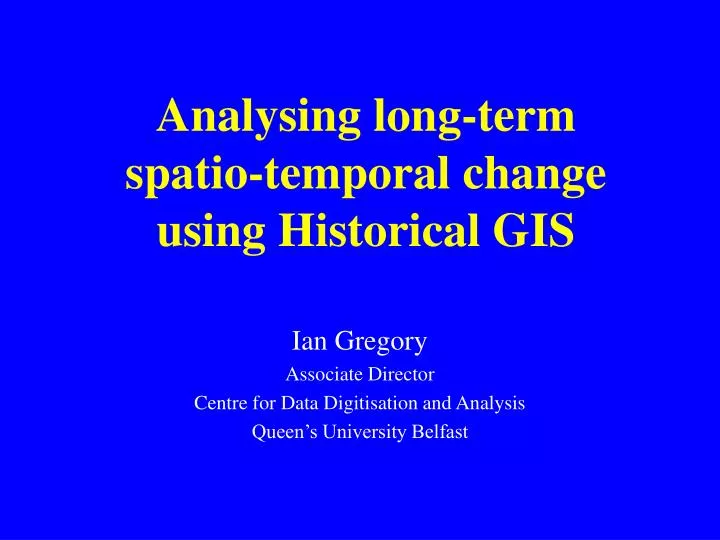
Analysing long-term spatio-temporal change using Historical GIS. Ian Gregory Associate Director Centre for Data Digitisation and Analysis Queen’s University Belfast. National Historical GISs. Contain: Census, vital registration, and similar data Many created/in progress:

E N D
Analysing long-term spatio-temporal change using Historical GIS Ian Gregory Associate Director Centre for Data Digitisation and Analysis Queen’s University Belfast
National Historical GISs • Contain: • Census, vital registration, and similar data • Many created/in progress: • Great Britain (£1,000,000 plus) • US National Historical GIS ($5 million) • China Historical GIS • Quantitative Databank of Belgian Territorial Units • Holland • Russia • South Korea • Ireland (planned at CDDA) • Europe? • Components: • Attribute • Spatial – many boundary changes • Temporal depth (typically two centuries)
What is GIS? • A Geographical Information System? • A Spatial Database Management System • 1. Co-ordinates: Absolute (Euclidean) space • 2. Topology: Relative space
The Geography of Infant Mortality in England & Wales • From the 1850s to the 1900s: • Was there a rural-urban divide? • Was there a north-south divide? • How did they change over time? • How did they inter-relate? • Looking at infant mortality only • Infant mortality: Deaths before 1st birthday per 1,000 live births. • Data published decennially using c. 635 Registration Districts. • Pilot project • 1911-1973: data are available annually for 1,500 Local Govt. Districts • 1974 on: data available annually at ward level
Infant Mortality, 1851-1911 • Conventional explanations: • Britain was already a highly urban country and was becoming more so. • Lower rates were driven by improvements in sanitary conditions in towns and by better health care (encouraging breast feeding, safe milk banks, etc.). • Improvements started simultaneously across the whole country in the 1880s. • 1890s was a blip caused by a series of hot summers increasing infectious diseases in urban areas. After Woods et al (1988 & ’89); Lee (1991); Williams and Galley (1995); Woods (1997)
Maps of Infant Mortality, 1851-1911 1850s 1860s 1870s 1880s 1890s 1900s Legend uses worst three deciles (red), best three (green), and those in between (yellow)
The Urban-Rural divide • 1. Most rural • 8. Most urban
The Core-Periphery divide, 1900s Infant mortality
The Core-Periphery divide, 1850s-1900s 1850s 1860s 1870s 1900s 1880s 1890s Legend uses worst three deciles, best three, and those in between. Buffers are 25km wide.
Change in Infant Mortality 1850s-1900s Overall Soton Cardiff L’pool N’castle London B’ham M’chester Proportional to national rate National rate dropped from 153.25 to 127.59 – an improvement of 16.74% Shading indicates population deciles
Changing Infant Mortality Matrices, 1851-1911 Legend uses deciles (worst 3 red, best 3 green, middle 4 yellow). Moran’s I measures edge to edge joins.
Change in core and peripheral areas Core (buffer 1) % change, 1850s-1900s Periphery (Buffer 8unless stated)
Areal Interpolation approaches • Leighton Buzzard (urbanity 2, peripherality 2) Total lives saved: 1009 As % of expected deaths: 27.75%
Lives saved by IM decline 1860s-1900s Total lives saved % of expected deaths Legend uses deciles of total population (1911)
Conclusions for Infant Mortality • Falling infant mortality • Increasing core-periphery divide • Increasing rural-urban divide • Rural areas in south and midlands seem to be driving the improvement. • Lack of improvement in northern rural and urban areas seems to be increasing the divides • Traditional explanations over-emphasise urban areas
Implications for HGIS • This analysis: • Tells us: what, where and when BUT not why • It is wide but shallow • Case studies: • Single “typical place” studied in depth • Narrow but deep