Download
1 / 8
80 likes | 195 Views
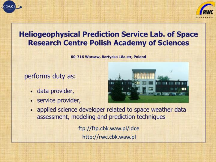
Heliogeophysical Prediction Service Lab. of Space Research Centre Polish Academy of Sciences 00-716 Warsaw , Bartycka 18a str , Poland performs duty as: data provider, service provider,

E N D
Heliogeophysical Prediction Service Lab. of Space Research Centre Polish Academy of Sciences 00-716 Warsaw, Bartycka 18a str, Poland performs duty as: data provider, service provider, applied science developer related to space weather data assessment, modeling and prediction techniques ftp://ftp.cbk.waw.pl/idce http://rwc.cbk.waw.pl
RWC Warsaw - 2013 Main task: • Space weather monitoring and forecasting • Warning user about extreme space weather events • Forecast of radio-communication radio links • Forecast and monitoring of the navigation issues • Development of algorithms for forecast and mapping Data sources: • Ionosonde, absorption and GPS scintillation and TEC monitor (installed on Warsaw and Hornsund) • Magnetometer (at Belsk and Hornsund) • Solar flux (Jagiellonian University Cracow) • ISES and direct observations from international partners
GNSS and SBAS products • GNSS monitoring station to measure scintillations and TEC (near real time information and warnings) • GNSS network for TEC mapping in Europe (every 15 min) • W-index disturbance map computed based on SBAS messages (every 3 minutes) • W-index disturbance computed from GNSS permanent stations (near real time)
Ionosonde VISRC2 Ionosonde VISRC2 with automatic scaling based on AUTOSCALA (profile every 15 minutes). Based on pervious measurement and actual value can generate warning. During extreme cases can be switched to shorter intervals and provide Doppler measurements for atmospheric gravity wave monitoring. Plots show example of scaling ionogram and foF2 forecast versus median for 7 days.
Common platform forextreme cases analysis- special importance for measurements of single instrument geophysical characteristic Automatisation of warnings transfer between centers. Allows to automatically execute adequate response for extreme events and perform additional measurements if necessary • To develop operational scenarios for warning: - sharing additional measurements - distribution of tasks between Centers - prepare use cases for particular event • To elaborate different levels of warning. (eg. automatic – computer or operator after detailed analysis generated, probability of impact) Gives for an operator the choice to perform proper action and avoid unnecessary actions in case of doubtful threat