Download
1 / 7
70 likes | 76 Views
Discover how combining maps and photos can provide comprehensive insights into an area. Learn about different types of photos and how to compare and link them to maps. Develop skills in describing photos accurately.

E N D
When used together, maps and photos can give us a very good idea of what an area is like. The map may show us the overall pattern of the area and the photo provides the added detail.
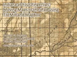
Types of Photos • Photos may be oblique aerial photos – taken from the air but at an angle. • An ordinary view or distance shot. • A satellite image.
Comparing maps and photos • You must orientate you photo with your map. • Look for the main features on the photo and then find them on the map. (Use things with interesting or unusual shapes like roads, coastlines, large buildings etc.
To link a map and a photo Decide which direction the photographer was facing by: • Choose a clear feature that you can locate on both the map and the photo. • Locate another feature then move (orientate) the photo so it lines up with the same features on the map.
Describing Photos – Stick to what they ask you for Double check how the question is worded. For example, If they ask you to ‘list the factors that attract tourists to honeypot locations’ then they want you to include everything you know. However, if the question states ‘The photo shows a honeypot. List three factors that would attract you to this location’. Then they only want you to list things you can see in the photo. Remember to look for both physical geography features as well as humangeography ones.
Practise • A good place to see how photos and maps relate together is to use the Multimap website www.multimap.com Where you can overlay maps over aerial photos. • Google Earth is another such useful site. Click here to return to the main menu