Download
1 / 25
270 likes | 457 Views
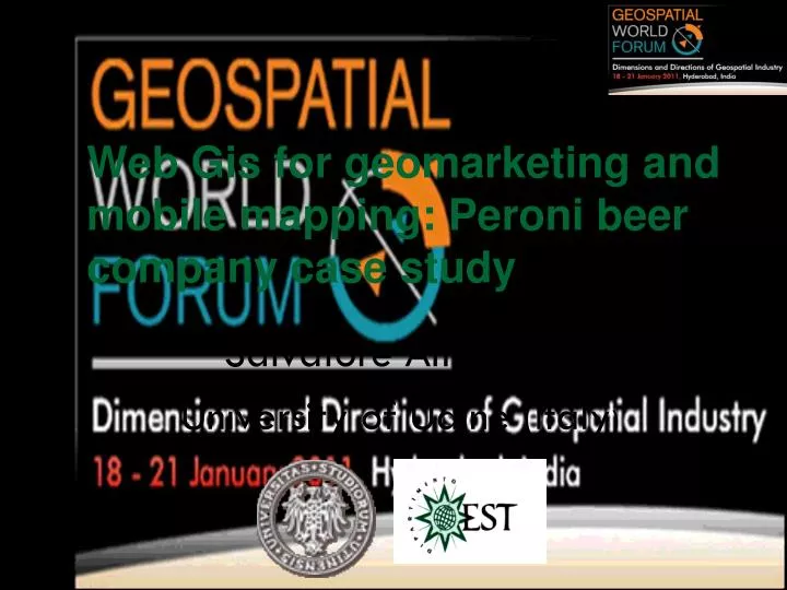
Web Gis for geomarketing and mobile mapping: Peroni beer company case study. Salvatore Amaduzzi University of Udine (Italy ). Goal of the project. Peroni , the first Italian producer of beer, wanted to : balance and optimize the salesmen areas

E N D
Web Gis for geomarketing and mobile mapping: Peroni beer company case study Salvatore Amaduzzi University of Udine (Italy)
Goal of the project Peroni, the first Italian producer of beer, wanted to: • balance and optimize the salesmen areas • organize the everyday agenda in order to visit the customer in the right time window, the correct number of times per month, .... • optimize the routes of the salesman • support the salesman on the field.
Peroni sales network Peroni sales network is divided into two networks called ASH (Account Supervisor Horeca) and ASW (Account Supervisor Wholesalers). ASH serves end distributors such as hotels, restaurants, café, etc., while ASW target are the wholesalers. The aim of the project was shared by the two networks because it consisted in optimizing the everyday agenda for each salesman.
Why GIS Peroni have heard about location intelligence and GIS but never experienced it. We got in contact with them because of a student stage and thesis. They accepted to test GIS tools
Project startup After some meetings we agreed that the optimization of everyday work should obtained through the reduction of the driving time from one store to another and the increase of the presence in the customer store. The analysis of sales network and the determination of the best agenda for staff has been done respecting specific constraints established by Peroni itself.
Project startup • The activities defined in order to reach the goals have been: • normalization and geocoding of the database of the stores and of the salesman starting points • redraw of salesman areas fitting the constraints of Peroni • creation of everyday agenda • optimization of the routes • test a WFM solution for field support
WEB Gis used tools Our GIS lab used MAPfindera WebGis infrastructure made available by Tellus SPA, a private GIS company. Used MAPfinder modules are: • ADDRESSfinder, a WebGIS for normalization and geocoding; • SITEfinder, a WebGIS that automatically optimizes/balances the zones allowing parametric definition of constraints; • MARKETfinder a WebGISgeomarketing application allowing analysis, creation of thematic maps, redistricting, ….; • PATHfinder a WebGIS routing application that optimizes the routes considering time windows, costs, ...; • PALMfinder, a tool on PDA to support the field activities of salesmen
Normalizing and geocoding All the data bases have been normalized and geocoded using ADDRESSfinder. This powerful tool geocoded 98% of the records automatically. Some more man hours of work completed the work.
Normalizing and geocodingresults ASH customers and offices ASW customers and offices
ASH data and constraints • The ASH network of Peroni in Italy consists of 14,936 points of sale (PoS) and the goal was to balance according to the following constraints: • areas with no more than 120 PoS; • tripartite division of PoS in Gold, Silver and Bronze depending on the frequency assigned to each quarterly visit, 6 for Gold, 3 for Silver and 1 for Bronze; • the duration of each visit to PoS is set at 35 minutes; • each salesman should not drive for more than 200 km per day; • the monthly working days for each salesman is 14 with 8-hour workday, one hour lunch break and exclusion of the trip from house to work; • minimum number of daily visits 8.
ASW data and constraints The ASW network of Peroni in Italy consists of 669 distributors/wholesalers and the goal was to balance according to the following constraints: • creation of areas of approximately 20 PoS; • the length of the visit is 90 minutes; • maximum of 3 visits per day; • each salesman should drive maximum of 300 km per day.
Areas optimisation SITEfinder, a genetic application, allowing to specify the constraints and automaticallyoptimizes and balances the salesman areas. Millions of operation in few minutes to obtain the best solution of the problem.
Areas optimisation Using the redistricting function of MARKETfinder, the geomarketing tool, we manually modified the areas that showed some problems Most of the problems were due to the fact that the density of the PoS is very different and the genetic software has not been able to respect correctly the constraints in those areas.
Areas optimisation results After the process the results where the following: • 125 areas were assumed in accordance with the following calculation: (14,936 total PoS/120 PoS per salesman). At the same time it was considered important to respect the time parameter calculated in a range between 11,000 and 12,500 minutes • this last parameter was determined by taking the 35-minute visit, multiplied by 42 working days (14 days per month for 3 months) and multiplied by the number of visits per day per salesman measured in the quarterly period. • the areas have been balanced considering this parameter in time and according to that defined by Peroni of 120 to PoS per salesman.
Agenda optimisation PATHfinder, a routing application, was used to generate for each of 120 areas the best visiting routes for the 42 working days in the quarterly period taking care of: • activities to be done • costs of vehicles and personnel • best time for roads transit (schools, market, …) • ….. It finds the cheapest routes respecting all the constraints.
Agenda optimisation results Due to the different density some day of some salesman was going in overtime. Oneworking week withmaximumnumberofvisits Sameworking week withoutmaximumnumberofvisits same number of visits done during the week but shortest distance, less working hours, less overtime if we don’t constraint the total number of visits per day.
Salesman work support The salesman were given a PDA to support their daily activities. This object is loaded with the agenda and, using a GPS navigation system, drives to each customer. The same tool is used to insert information and photos for each visit, to update the company in real time regarding the activities done and to update the salesman with customer data, ...
Tracking salesman Peroni tested the real time tracking in order to: • compare the activities done with the planned ones (PATHfinder agenda) and verify the differences • verify delays and early arrivals and reschedule the agenda • reschedule the agenda in case of customer requests • see routes and stops on the map • …
Geomarketing analysis Primary goal was the optimization of sale networks using the described tools. The potential of geomarketingis not exhausted in the optimization of logistics aspects. Geomarketing is also very useful for thematic analysis on business data to highlight aspects of the market that are not easily detectable with ordinary tools (data mining, data warehouse, …). Being Peroni data ready to be analyzed they asked us to do a further effort to better understand the advantages of geomarketing applied to the company.
Geomarketing analysis They concentrated on the market share. To determine the potential customers we have uploaded a database of potential customers with bars, cafes, restaurants, hotels, fast food, pubs, nightclubs and piano bar. To highlight the market share the thematic map represents the percentage of active over potential customers.
Conclusions This project gave to Peroni a real feeling of how the Location Intelligence can affect their work. The main result of the test has been the approximately 17% of costsreduction in the salesman logistic mostly obtained with reduction of driving time and increasing of number visits per day. The whole project has been carried out in one month by two technicians; the important fact that reduced so much the times is that all the applications used were WebGIS easy to use and allowing a easy sharing of data, maps, simulation and analysis. This has not only allowed a continuous updating of Peroni on the project updates but also a constant dialogue with quick solution of the issues that were arising during the various stages of work by comparison and not by unilateral decisions. The case study once more demonstrated the importance of WEBGIS tools which are a great opportunity for private and public companies aiming to improve their services to reduce the gap over competitors.
Thanks for any further information you are welcome salvatore.amaduzzi@uniud.it or here in the next days