Download
1 / 11
110 likes | 120 Views
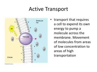
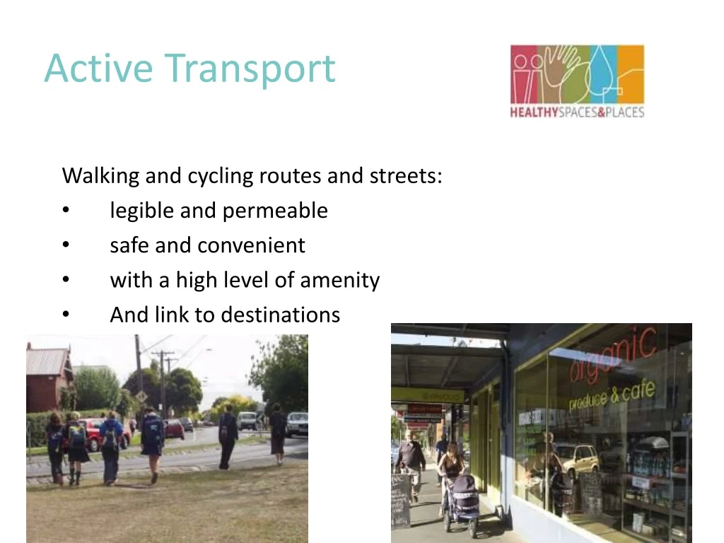
Active Transport. Walking and cycling routes and streets: legible and permeable safe and convenient with a high level of amenity And link to destinations. Cycling. Cycle lanes on busy streets Slower vehicles speeds on local streets Dedicated cycleways Shared paths where appropriate

E N D
Active Transport Walking and cycling routes and streets: • legible and permeable • safe and convenient • with a high level of amenity • And link to destinations
Cycling • Cycle lanes on busy streets • Slower vehicles speeds on local streets • Dedicated cycleways • Shared paths where appropriate • End of trip facilities including parking, lockers, showers
Walking • Walking is free and has great health benefits - especially walking to school and local services • Walkways may be shared: walking, cycling, prams, scooters, wheelchairs • Walking routes should be safe – road crossings, pavement surface
Walking and cycling routes • Provide accessible & integrated network • Connectivity within and between neighbourhoods • Design details important –width, surface etc • Create direct and leisurely paths
Streets • Primary movement network • Needs to work for all users, vehicles, cyclists, pedestrians, public transport and other modes • Permeable, legible, convenient, safe • Linked to destinations • Amenity
Local streets • Network design to encourage walking and cycling • connectivity • Encourage attractive frontages • Slow the traffic • Safe and easy access and crossings • Wayfinding signage
Public realm enhancement New public spaces Signage “Walk Bendigo” Child friendly city status Priority pedestrian areas in centre identified and enhanced Case study - Bendigo
Provides guidance on walking amenity for subdivisions 3 step process: assess extent of walkable catchment, assess contents and assess quality Series of checklists assist Outcomes – more walkable subdivisions, better connections, more people walking, healthier people Case study – Geelong Walkability Toolkit
Understanding issues Better integration More research Better dissemination of information Retrofitting existing areas Challenges
Summary- Healthy urban environments • Choice of housing and mixed uses • Places to meet and mix • Conviviality - attractive local environment, sense of place, art • Streets for people as well as vehicles • Choice of transport that works • And integrated planning
Further Information • Healthy Spaces and Places Discussion Draft is available from PIA website www.planning.org.au