Download
1 / 21
230 likes | 400 Views
Terrain Mapping. DEMs Contours Slope Aspect Hillshades. Digital Elevation Model (DEM). Mt. Hood. Counters. Generates a polyline Shapefile. Contours. 2200m. 2100m. 2000m. 1900m. DEM Cross Section. 200 Meter Countours. Calculating Slope. DEM Cross Section. Slope Calculation.

E N D
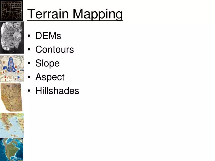
Terrain Mapping • DEMs • Contours • Slope • Aspect • Hillshades
Digital Elevation Model (DEM) Mt. Hood
Counters • Generates a polyline Shapefile
Contours 2200m 2100m 2000m 1900m DEM Cross Section
Calculating Slope DEM Cross Section
Slope Calculation • Fits a plane through 3x3 pixels around the pixel of interest • What effect does this have on the uncertainty of the resulting raster?
Slope Calculation Rise Angle Angle Run • Slope = (Rise/Run) * 100% • Can be: • Degrees • Percent 3 x 3 Cell
Z-Factor • Converts the elevations in the DEM to the same units as the x,y dimensions • Easiest approach is to: • Project the DEM to a spatial reference that is in meters (i.e. UTM) • Scale the elevation values the meters if not already in meters
Aspect – Direction of the slope Aspect (Direction) Slope Rise Angle Run Slope = (Rise/Run) * 100%
Hillshade • Creates a raster that appears to be a photo from above the area, shaded by the sun. • Frequently used as a background, rarely for analysis • Z-factor can be used to make the hillshade more dramatic
Color Hillshade • Transparent DEM with Color Ramp