Download
1 / 12
120 likes | 338 Views
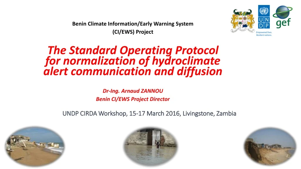
UNDP CIRDA Workshop, 15-17 March 2016, Livingstone, Zambia. Benin Climate Information/Early Warning System (CI/EWS) Project The Standard Operating Protocol for normalization of hydroclimate alert communication and diffusion Dr- Ing . Arnaud ZANNOU Benin CI/EWS Project Director.

E N D
UNDP CIRDA Workshop, 15-17 March 2016, Livingstone, Zambia Benin Climate Information/Early Warning System (CI/EWS) Project The Standard Operating Protocol for normalization of hydroclimate alert communication and diffusion Dr-Ing. Arnaud ZANNOU Benin CI/EWS Project Director
In 2010, Benin was facing the most flooding disaster of his history. 46 deaths and around 680,000 affected persons, losses and damages up to $260 millions US, and negative socio-economic impact estimated to 0.8 regress on GDP. After this disaster management, we observe that one of the weakness point of our institutional disaster management framework is a very bad crisis communication management. So, by considering that alert is the first step of crisis communication mechanism, we begin our CI/EWS project by solving the critical issue.
Who (actor) has a responsibility in the communication of alert message to community. From where each of these actors can get the alert message To whom each actor must transmit alert message? How many time must use each actor to transmit the alert message to following actor?
We contract a private Cabinet 2SC specialized in the crisis and disaster management in Benin: ToR = develop the SOP for normalization of alert communication and diffusion in case of hydroclimate disaster in Benin. 2SC organized meetings with around 20 institutions involved in disaster management in Benin, and with the frequently affected populations of 25 districts (33% of Benin districts, chosed by consideration of our 5 risks and the socio-cultural realities of each community respectively). After information compilation, 2SC draft and we adopt the SOP chart.
UNDP-GEF (Financial and Technical Support) HydrologicalDepartment Hydro Data + River flooding Warning MeteoDepartment Meteo data + Rain Flooding, Drought and Severewind warning University Modelling and scientific expertise on all hydro-climaterisks WARNING DisasterManag.Agency C I P A Oceanography Institute Oceano data + coastalerosion and sealevelrising warning Final Beneficiaries = Population
Flood warning !!! Technical Design and Operating of Early Warning System Niger Burkina Faso Legend Drought warning !!! Ground Rain Observations (20) River or Lake Observations (25) Seaparameters observations (5) National Centre for Forecasting and Warning Severe Wind warning !!! Togo Nigeria Floddwarinng!!! Dangerous sea warning Atlantic Ocean
Information system of Early Warning System in Benin WARNING LEVELS
Information Climatique et Alerte Précoce PROJET SAP-Bénin BULLETIN D’ALERTE INONDATION du mardi 30 septembre 2014 à 12h00 min CARTE NATIONALE DE VIGILANCE MESSAGE D’ALERTE ROUGE Niveaux d’eau relevés ce jour: sur le fleuve Niger 711 cm à Malanville et sur le fleuve Ouémé, 455 cm à Bétérou; 660 cm à Savè; 886 cm à Zangnanado; 860 cm à Bonou; 477 cm à Adjohoun et 145 cm à Agbanankin. Ainsi, le niveau d’alerte reste toujours JAUNE sur le bassin béninois du Niger (Malanville, Karimama), et sur le bassin du Mono à Grand-Popo. L’alerte est maintenue ROUGE dans la basse Vallée de l’Ouémé. Pour les 4 prochains jours, l’alerte demeurerait ROUGE dans la basse Vallée de l’Ouémé. DNM CONSIGNES A APPLIQUER: Se référer à l’Agence Nationale de Protection Civile (ANPC): Tel: 95.86.13.13//97.76.12.80 Email: anpcbenin@yahoo.com Elaborée par : Cellule Inter-Institutionnelle de Prévision et d’Alerte du Projet SAP-Bénin (DG-Eau, DNM, ASECNA, IRHOB, INE, PNUD) Contacts: Arnaud ZANNOU (97.60.38.05) & Martial DOSSOU (97.37.13.58) Email: sapbenin@gmail.com Situation nationale des niveaux d’alerte aux inondations au 01-10-2014
Chart of SOP: Standard Operating Protocol for warning messages communication and diffusion in case of hydroclimatedisaster in Bénin
A real comprehensive framework legally adopted by Government : each actor knows his role, and also knows and respects the role of others actors involved! A veritable interaction between several institutions! Each actor don’t need to refer first to his superior before give alert message to following actor in chart! Each actor gives credibility to alert message he receive!
How to support in sustainable way the payement requested by media before taking action? We work to set up PPP with mobile companies in order to disseminate SMS to people cell phones in areas affected. Also alert dissemination via social media app (Facebook, Twitter) are considering in our approach.