Download
1 / 36
390 likes | 673 Views
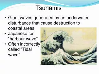
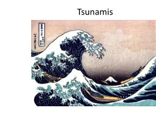
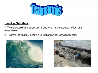
Tsunamis. GEOL 4093 Risk Assessment. Tsunamis. Also known as “seismic sea waves” Generating force is not wind, but movement of the sea floor, volcano, landslide, etc. Travel rapidly over great distances. Tsunami Characteristics. Extremely long wavelengths (100-200 km)

E N D
Tsunamis GEOL 4093 Risk Assessment
Tsunamis • Also known as “seismic sea waves” • Generating force is not wind, but movement of the sea floor, volcano, landslide, etc. • Travel rapidly over great distances
Tsunami Characteristics • Extremely long wavelengths (100-200 km) • Long periods (10-20 minutes) • Low wave heights (1-2 meters) • Shallow water waves
As the tsunami wave gets closer to shore, its speed decreases but its wave height greatly increases.
Tsunami in Hilo, Hawaii from 1946 Aleutian Islands Earthquake
1960 Chile Earthquake • Magnitude 9.5 • Earthquake deaths in the thousands • Tsunami deaths: • Hawaii—61 • Japan—120 • Phillipines—20
Computer simulation of tsunami caused by 1960 Chilean Earthquake. Time: 0:00.
A wave front rushes up the Wailuku River in Hilo, Hawaii, during the tsunami of 1 April 1946.
Scoth Cap Lighthouse was destroyed by tsunami from Aleutian Islands earthquake of April 1, 1946. The lighthouse stood 30 feet above sea level
The next three slides show the sequential arrival of a tsunami at Laie Point, Oahu Island, Hawaiian Islands. The 8.3 magnitude 8.3 earthquake of March 9, 1957 in Alaska generated a tsunami that struck the beachfront of Hawaii, about 3,600 km from the generating area.
Japan, July 1993. The largest tsunami to strike Japan in recent times. Waves washed 29 meters (97 feet) above sea level; 120 people died.
In addition to the Pacific-wide early warning system (A) there are also regional warning systems (B-F), which warn residents about 10 minutes or 100-750 km from source. THRUST: A local warning system to warn within 100 km from the source.
Not all tsunamis are caused by earthquakes. Here a landslide at the far end of this Alaska bay destroyed a forest in the foreground.
Krakatau, Indonesia, famous for its devastating 1883 eruption, one of the largest in history. Tsunamis reached heights of 40 m killed 36,000 people on the low shores of Java and Sumatra.
Seiches • Periodic standing-wave oscillation of water surface • Occur in enclosed basins • Travels back and forth at regular intervals • Can be caused by winds, currents, pressure, earthquakes, landslides
The 1989 Loma Prieta earthquake was near enough to Monterey Bay to initiate seiche waves in the bay.