Download
1 / 15
150 likes | 273 Views
Forest Stewardship Plan: Post Approval Compliance and Enforcement of Results, Strategies and Measures. Chris Lohr, Stewardship Darius Low, Stewardship Chris Cummings, Geomatics Will Burt, Regional Geomatics Cal Wilson, Tenures Les French, Tenures Bonnie Morton, Resource Clerical

E N D
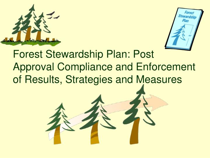
Forest Stewardship Plan: Post Approval Compliance and Enforcement of Results, Strategies and Measures
Chris Lohr, Stewardship Darius Low, Stewardship Chris Cummings, Geomatics Will Burt, Regional Geomatics Cal Wilson, Tenures Les French, Tenures Bonnie Morton, Resource Clerical Sherrie Macphee, Resource Clerical Malcolm Cattanach, C&E Kevin Cameron, Facilitator Phil Kabool, Co-Facilitator Design Team: Acknowledgements: Ken Waite, DT Champion DMH Advisory Team Jasmine Pflanz, Chilcotin FD
FRPA legal objectives are met through the setting of results/strategies/measures contained in FSPs. Since results/strategies/measures may not be consistent across a district’s landscape or between licensees, the identification and enforcement of results/strategies/measures presents a challenge to C&E staff. Project Description
FSP’s are narrative; it is difficult to determine how and where a specific result/strategy/measure applies spatially. Consequently C&E staff must now go through a licensee’s FSP page by page, identifying the results/strategies/measures that are applicable to a specific cutblock or cutting permit. This will be an onerous, often confusing, and time consuming task subject to error. In a test, the design team gave a seasoned C&E Officer an Exhibit A with two cutblocks and a copy of the applicable FSP and FSP maps. The Officer was asked to identify the FSP results and strategies applicable to the cutblocks and to keep track of how long the process took. It took the Officer 4.5 hours to identify the applicable FSP results and strategies for the two cutblocks. Project Description
Create a business design to allow for efficient enforcement of FSPs and subsequent amendments. Since results/strategies/measures contained in FSPs are spatial in nature, the design team decided that the best option for identifying and communicating results/strategies/measures applicable to a specific cutblock would be through the creation of a custom GIS application. The use of this application would streamline the identification of applicable results/strategies/measures from an FSP and considerably reduce the chance of errors in interpretation and omission. This same process using the GIS application is conservatively estimated to take approximately five additional minutes at the CP processing stage. Design Team’s Goal
GIS Conceptual Diagram • Overlay block to test against a variety of data • Provide reporting environment outside the GIS environment • Function with a variety of FSP formats and structures • Portability • Mesh well with current work environment and processes
GIS – Spatial Overlay Reporting • Records: • Summary of all intersecting layers • Detailed reporting of intersecting layers for each selected cutblock • Reporting of FDUs intersected by each selected cutblock Spatial Records FSP Database Filtering of Resultsand Strategies Relevant Results and Strategies for each spatial unit
DATA ENTRY • Resource receives approved FSP • Identifies results & strategies within FSP • Enter results & strategies into GIS Database • Each FSP & Results and Strategies are assigned a unique ID# • Upon data entry, Stewardship/Tenures performs audit
REPORTING OUT TO COMPLIANCE AND ENFORCEMENT • Upon approval of cutting permit, Resource enters forest licence cutting permit and block information into the Tenure Tracking Database to produce Results and Strategy Report for C & E. • A copy of the report is attached with their cutting permit document and forwarded to C & E (shown on following page). • Update and modify C & E Results and Strategies Report as per C & E Feedback Form.
RESULTS & STRATEGIES REPORT FOR: A20002 CP 300 CB 1, August 31, 2007 OGMA’S Result/Strategy FSP ID: 23 The TSM will ensure that Forest Practices in OGMA’s is consistent with the Biodiversity Conservation Strategy or updates. Source: CCLUP (P.60) Result/Strategy FSP ID: 24 The TSM will apply the results or strategies for Objective 23. Source: CCLUP (P.61-91) WILDLIFE Result/Strategy FSP ID: 15 Grizzly Bear Where the active den of a grizzly bear is identified or made known during pre-harvest planning, harvesting or road building and is associated with a permanent geographic feature (i.e. esker,cave), each holder of this FSP will protect the den within a wildlife tree patch of minimum 2 hectare size Source: Section 7 of the Forest Planning and Practices Regulation. COMMUNITY WATERSHEDS Result/Strategy FSP 48 Where harvesting is conducted within a community watershed, each holder of this FSP: -Will not conduct road building within 100 meters of a licensed water intake -Will conduct an assessment of the risk of sediment being introduced into the intake prior to road building. -Will undertake any road building consistent with the assessment. Source: Section 8.2 of the Forest Planning and Practices Regulation Page 1 of 2
FSP AMENDMENT ROUTE CARD Licence: _______________________
Each FSP is unique – each FSP’s results & strategies must be manually linked to the existing data layers. Some of the linkages between results / strategies and data layers require refinement (e.g. incorrect or non-existent stream classes, species at risk ). Rigorous quality assurance required to ensure reports reflect data that was in effect at the time of Cutting Permit development (e.g. a change in MDWR boundary) Ongoing flow of FSP amendments will require updating of the FSP database and reports; possibly changes to the GIS tool. Enforcing FSPs is a new challenge. Operating within a Professional reliance framework. Evolution and modification of GIS application. Challenges
Chilcotin District database FSP Tracker (Corporate system) C & E Enforcement Matrix (Central Cariboo District leading, 100 Mile, Chilcotin, Quesnel) Results Based Inspections (RBI), FREP Potential Linkages to Other Initiatives
Share application with other districts. Facilitate risk assessments and inspection priorities. Woodlot License Plans and Range Stewardship Plans. Addition of linkages to geographically specific legislative requirements. Incorporation of appraisal information from ECAS. Measuring the success of aggregate and/or landscape level results and strategies. Future Opportunities
Increased accuracy and efficiency in identifying applicable results/strategies Provincial applicability Non-proprietary application – can be given out freely and modified/adapted as required Potential to evolve and incorporate new components and functionality Development expertise is in-house Potential to interface with other ministry applications such as iMap, ECAS, FSP Tracker and FTA Business/Workplace Impact