Download
1 / 26
260 likes | 428 Views
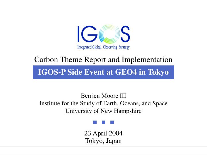
Carbon Theme Report and Implementation IGOS-P Side Event at GEO4 in Tokyo. Berrien Moore III Institute for the Study of Earth, Oceans, and Space University of New Hampshire. 23 April 2004 Tokyo, Japan. 370. 360. 350. 340. 330. 320. 310. 1957. 1963. 1969. 1975. 1981. 1987.

E N D
Carbon Theme Report and ImplementationIGOS-P Side Event at GEO4 in Tokyo Berrien Moore IIIInstitute for the Study of Earth, Oceans, and SpaceUniversity of New Hampshire 23 April 2004Tokyo, Japan
370 360 350 340 330 320 310 1957 1963 1969 1975 1981 1987 Mauna Loa Monthly Carbon Dioxide Record:Keeling Record 1958-2000 Carbon Dioxide (ppmv) 1993 1999 Year Thank you, David Keeling
Gt. C per year SOI 1955 1960 1965 1970 1975 1980 1985 1990 1995 2000 CO2Annual Growth Rate 8 6 4 2 30 0 -30 Year Source: R. Francey (CSIRO)
Global C Budget (PgC/y) Source: IPCC, 2001
Vostok Record Law Dome Record Mauna Loa Record IPCC IS92a Scenario CO2 Concentration in Ice Cores andAtmospheric CO2 Projection for Next 100 Years Projected (2100) CO2 Concentration (ppmv) Current (2001) (BP 1950) Source: C. D. Keeling and T. P. Whorf; Etheridge et.al.; Barnola et.al.; IPCC
Global Carbon Sources and Sinks The Challenge
• To provide the long-term observations required to improve understanding of the present state and future behaviour of the global carbon cycle, particularly the factors that control the global atmospheric CO2 level. To monitor and assess the effectiveness of carbon sequestration and/or emission reduction activities on global atmospheric CO2 levels, including attribution of sources and sinks by region and sector. • The objectives of a coordinated system of integratedglobal carbon observations
The coordinated system of global carbon observations should be built around complementary core groups of observations to address three themes: fluxes, pools, and processes FluxesObservations to enable quantification of the distribution and variability of CO2 fluxes between the Earth's surface and the atmosphere PoolsObservations focused upon changes in the atmospheric, oceanic and terrestrial carbon pools ProcessesObservations related to important carbon cycle processes. Most of these will remain in the research domain, to be coordinated within the framework of the International Global Carbon Project (GCP)
CO2 CO2 CO2 Preindustrial CO2: maximum strength bio pump: 160 ppm Preindustrial CO2: Physical pump alone: 400 ppm Oceanic Primary Production: Sept. 97 – Aug. 98 Biological Pump Physical (solubility) Pump Source: JGOFS / IGBP
620 ARGO Floats, as of January 2003 Multi-tiered System
Bottom-up estimates of the surface ocean fluxes using process based biogeochemical models and/or in situ measurements Ocean Colour60% global, over a 3-5 day timeframe Ancillary Oceanic Data at Global ResolutionOcean circulation and air-sea transfer (altimetry, SST, SSS, surface winds …)
Terrestrial Ecosystem Carbon Uptake and Storage CO2 Plant respiration Soil and litter respiration Disturbance GPP Short-term carbon uptake NPP 60 Gt/yr Medium-term carbon storage NEP 10 Gt/yr Long-term carbon storage NBP 1-2 Gt/yr • C h a l l e n g e s o f a C h a n g i n g E a r t h — J u l y 2 0 0 1 • C h a l l e n g e s o f a C h a n g i n g E a r t h — J u l y 2 0 0 1 Source: GCTE / IGBP
Bottom-up estimates of the surface terrestrial fluxes using process based biogeochemical models and/or in situ measurements • Land-cover ChangeResolution of 100 m at intervals of 5 years - to estimate the fluxes of carbon associated with forest clearing and reversion of agricultural lands to natural ecosystems • Ecosystem DisturbancesFire distribution / hotspots at sub-daily resolution, burned areas at monthly resolution, and other disturbances (insects, harvest, windstorms) at intervals of 1 year • Vegetation State and ActivityDirectional reflectance withglobal coverage over weekly timeframe. Spatial resolution of 1 km or better. Possibly hyper-spectral information. Focus includes leaf area index,vegetation architecture and profile, albedo, F-PAR and related vegetation biophysical properties, ecosystem condition, and gross and net primary productivity • Ancillary Terrestrial Data at Global ResolutionClimate and weather data, soil moisture content, and radiation diffuse and direct components
Global Carbon Sources and Sinks The Challenge
Top-down estimates of the surface fluxes time varying distribution using atmospheric inverse models Column-integrated atmospheric CO2distribution to an accuracy of at least 1 ppm (0.3%) with synoptic global coverage, if possible all latitudes, all seasons - with ground-based quality control Attributing surface fluxes to combustion processes of biomass and fossil fuelvia atmospheric COand combustion aerosol distributions with synoptic global coverage equivalent to the one of CO2 - with ground-based quality control Modelling the transport of atmospheric CO2atmospheric structure, temperature, humidity, winds…
Implementation issues The main implementation issues highlighted for discussion by CEOS SIT-13: The prospects for provision of the atmospheric measurements (notably column CO2, CO and aerosols) required for top-down estimation of the surface fluxes using atmospheric inverse models. The prospects for development of ground-based solar observatories for CO2to characterize the ultimate accuracy of the near IR absorption technique. Such a ground based column CO2 network will also provide a unique control for any space-based CO2 mission. The prospect of an active mission that focuses upon the measurement of column CO2 without diurnal, seasonal, latitudinal, or surface restrictions. This mission could be accomplished with the measurement technique based upon Laser Absorption Spectroscopy (LAS). Finally, an overarching issue is for space agencies to consider how to support the integration of the operational observations with process study results via model-data fusion to give a holistic picture of the dynamics of the carbon cycle.
Georeferenced Georeferenced Atmospheric Atmospheric Remote sensing of Data emissions emissions measurements measurements Atmospheric CO2 assimilation inventories link optimized Atmospheric Climate and weather Atmospheric optimized model Transport model Transport model fields Fluxes parameters Ocean carbon Terrestrial Ocean carbon Ocean time series Terrestrial Eddy-covariance model model carbon Biogeochemical rivers carbon flux towers pCO2 model model Biomass Coastal soil carbon Lateral fluxes studies Surface observation inventories pCO2 nutrients Ecological Ecological Remote sensing of Remote sensing of Ocean remote sensing Ocean remote sensing studies studies Vegetation properties Vegetation properties Ocean colour Ocean colour Water column Growth Cycle Growth Cycle Altimetry Altimetry inventories Fires Fires Winds Winds Biomass Biomass SST SST Radiation Radiation SSS SSS Land cover /use Land cover /use A Global Carbon Cycle Data Assimilation System
The Carbon System Approach Scale The source and sinks and controlling processes will only be determined within an integrated approach where point-wise in situ surface measurements can be scaled up using global satellite datasets and models, and then constrained and verified by atmospheric CO2 concentration measurements. A Hierarchy of Approaches and Scales