Download
1 / 26
260 likes | 385 Views
GSDI – From Concepts to Practical Reality. Preetha Pulusani President Intergraph Mapping & GIS Solutions. Topics. The State of Our Community today The Importance of Industry Standards GSDI - A Practical Reality Getting Down to the Business of Implementing GSDI…one step at a time

E N D
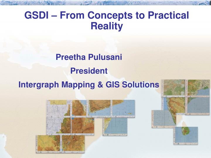
GSDI – From Concepts to Practical Reality Preetha Pulusani President Intergraph Mapping & GIS Solutions
Topics • The State of Our Community today • The Importance of Industry Standards • GSDI - A Practical Reality • Getting Down to the Business of Implementing GSDI…one step at a time • The Technology Perspective • The Importance of Getting Started Now
The State of Our Community Today • The State of Our Community Today
Geospatial Data – Still a Greatly Undervalued Asset • The potential to be a true treasure chest for the organization
The Reality of Geospatial Data Today • Many formats, different data models • Several databases, tiles, files • Distributed
An Organization and its Data Customers Policy Planning GIS Specialists Operations
A Major Challenge to the Industry • Data Availability • The right information • At the right time • In the right form
The Vision Custom View of Data Policy Planning Operations Customers GIS Specialists Enterprise spatial data Enterprise Non-spatial data Common Data Model
Critical Metadata! • Critical Metadata includes answers to these questions • What is contained in the data? • Who owns it? • Who created it? • For what purpose? • When? • Metadata describes your geospatial data and… • More importantly, it protects your investments and data assets • Once metadata exists, it needs to be • Readily accessible • Easy to query, view and share • Thereby, adding great value to the data itself
Interoperability • Data interoperability • Application interoperability • …critical to information sharing and collaboration…
wmsviewer.com Public site for anyone’s use, built by Intergraph Providing a viewer to OGC-defined WMS standard interfaces Signifying our commitment to open standards and OGC Putting a face and use to data interoperability Demonstrating the power of open access through the web http://www.wmsviewer.com/
Relief and roads from USA DEPHA data from Nairobi Tanzania Land Cover from Dar es Salaam Tanzania Districts from USA
Interoperability Underpins New Grant • The Intergraph Open Interoperability Grant Program • Announced this week to coincide with GSDI 6 • $5.5 million pledged to GSDI development • Harnessing OGC industry standards • Enabling development of open Web services • Making GI available through GML • Enterprise-wide Benefits: • Expanded interoperability • Improved information and communication • www.intergraph.com/gis/ogc/interop.asp
The Importance of Industry Standards • GeoSpatial Technology and IT must converge • Remove proprietary barriers • Migrate stovepipe solutions • Industry must make an investment in standards • Spatial Data Infrastructure • Metadata • Data access and interoperability - GML • Data warehousing • Data management and storage • Data distribution • Application interoperability
What’s the value? • Better data = Better decisions = Better business • Open = More Choices, Better Choices • Solutions = Productivity • Enterprise = Return on Investment • Sharing data 1 = Sharing costs and investments • Sharing data 2 = Making information available
Where we began: - GIS centric What we should achieve: - Information centric Let’s stop thinking GIS-centric! GeoSpatial Sphere of Influence
The march of science and technology does not imply growing intellectual complexity in the lives of most people. It often means the opposite.- Thomas Sowell
Doers Users Viewers Use of GeoSpatial Tools in an Enterprise High seat cost Complex Thick clients Centralized Thin clients Simple Web Services Many Users Componentware Distributed
Quote from the GSDI Brochure: • Learning from the past, we focus on the future. The GSDI transcends political boundaries by working to attain sustainable development and maximize the use of resources on this planet we share.
Learning from the Past, we Focus on the Future • The Technology Perspective
Technology Elements to Consider • Data Management • Data Collection and Revision • Data Integration • GeoSpatial Tools • Data Distribution • New Information Technology Adoption • Scalability • Interoperability
Getting Started • Think Big • Start Small • Get Feedback • Scale Quickly • Deliver Value
Map Series Example GSDI From Global to Local … From Concepts to Practical Reality. Today.