Download
1 / 45
460 likes | 664 Views
Designing of Training Module Of MULTI HAZARD DISASTER MANAGEMENT PLAN. Module I Physical Parameters (Demography). Module -II Risk / hazard analysis. Module-III Risk Assessment . Module-IV Vulnerability analysis. Module-V Mitigation plan .

E N D
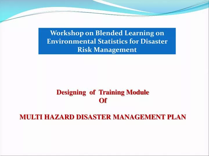
Designing of Training Module Of MULTI HAZARD DISASTER MANAGEMENT PLAN
Module I Physical Parameters (Demography) Module -II Risk / hazard analysis Module-III Risk Assessment Module-IV Vulnerability analysis Module-V Mitigation plan
The purpose of preparing District Disaster Management Action Plan (DDMAP) is appended • To ascertain the status of existing resources and facilities available with the various agencies involved in the management of disaster in the district. • Assess their adequacies and short falls if any in providing a multi-disaster response • Suggest institutional strengthening, technology support, up gradation of information systems and data management for improving the quality of administrative responses to disasters at the district level and finally.
To evolve Blended Learning as an effective managerial tool. In the absence of a defined plan response to a disaster would be arbitrary leading to over emphasis of some actions of other actions which could be critical . Moreover, due to absence of a defined response structure and responsibilities allocations there would be mismanagement of resources and overlap of actions be various agencies which may exacerbate the situation there by compounding the disaster effect.
A formal planning for managing disasters is there for necessary to ensure minimize of hardship . This can be achieved only prove through:- • Preplanning a proper sequence of response actions • Allocation of responsibilities to the participating agencies • Effective management of resources, and • Developing codes and standard operating procedures for smooth coordination between various departments and relief agencies involved • The objectives of any DDMAP should be to localize a disaster and to the maximum extent possible contain it so as to minimize the impact on life, the environment and property.
Contents • MULTI HAZARD DISASTER MANAGEMENT PLAN • Module 1. Physical Parameters (Demography) • 1.1Why is it • Objective • Disaster • 1.2 Overview of the District • 1.3(a) Preliminary Block Profile • 1.4(b) Preliminary Sub-Division profile • 1.5 Demographic details • Household details • Population • Type of workers • Literacy Rate in percentage
B.TOPOGRAPHICAL DETAILS • Claimate & Rainfall • Rain Recording Stations • Monthwise Highest & Lowest Temperature recorded in the District • Gegrophical area • (a) Paddy • Month wise highest & Lowest Temperature recorded in the district • Gegrophical area • (a) Paddy • Land Holding Pattern • Crop Pattern • Livelihood details • Drinking water • River / Canal • List of Embankments • River carrying capacity • Availability of Irrigation • Minor Irrigation Projects • Irrigation facilities & Sources • Infrastructure • Industries • Financial Institutions • Communication facilities • Power station & electric installation • Communication Network • Road Net Work
Resource Invention / capacity analysis • Energy contingency plan • Storage facilities with capacity • Public Distribution system • PHC • Police Station • Sub-Post Offices • Fire Station information • Identificatiion of flood shelters • Earth moving and road cleaning equipments • Traders • Transportation (Road & Water) • Alternative energy sources • Private Professional • List of NGOs • Volunteers Profile • Trainers profile
Module -II Risk / hazard analysis • History of disaster and Probability of Disaster in the District • Seasonality of Hazard
Module-IV Vulnerability analysis • Infrastructure vulnerability against Hazard • Identification of weak and vulnerable embankments
Module-V Mitigation plan Sector wise vulnerability Reduction Measures
CRISIS RESPONSE STRUCTURE OF THE BLOCK • Early warning Dissemination & Response Plan • Sample of Message • Press Release • Evacuation , search and Rescue • Medical and First AID • Car Cass / Dead Bodies Disposal • Shelter Management • Water and Sanitation • Relief • Infrastructure Restoration • Cattle camps • Check list. • B. CHEFKLIST FOR VARIOUS DEPARTMENTS • Collector and District Magistrate • CMO • Executive Engineer Irrigation / Flood Control. • Deputy Director, Agriculture • Deputy Director, ARDD • Executive Engineer (RD/PWD)
CHECKLIST : DO’s AND DON’Ts (a) Operational guidelines of what to do in the event of a Flood (b) Operational Guidelines of what to do in the event of a Cyclone ( c)Operational guidelines of what to do in the event of a Heat Wave (d) Operational guidelines of what to do in the event of a Drought. DEVELOPMENT INIATIVES / LINKAGES A. Short term plan B. Long term plan C. Mock Drills plan INPORTANT NAME AND TELEPHONE NO.- LIST OF MER AND CSSR EQUIPMENTS – CRISIS RESPONSE STRUCTURE PREPAREDNESS CHECKLIST FOR VARIOUS DEPARTMENTS
Overview of the District • Longitude-92 , 22’ & 91 59’ East. • Location:- Latitude 22 56’ & 24% 32’ North. • Area:- 2624 .35 Sq.km . • No. of Sub-Divisions:- 4(four). • No. of Blocks :- 11 (eleven). • Preliminary block profile
Preliminary block profile Demography House hold information
Population Type of workers Literacy rate
Rain Recording stations Total No. of rain recording stations in the District Location of rain recording stations- Month wise Highest and Lowest Temperature recorded in the District.
Drinking Water Sources:- ( F-Functional, D-Defunct) River / Canal List of Embankments River carrying Capacity
Availability of Irrigation Facility Minor Irrigation Projects Infrastructure ( Nos. AND/OR distance in Kms.)
Emergency Contingency Plan……………District Storage facilities with capacity
Public Distribution System Police Stations Fire Station information Identification of flood shelters (single/double storied ) with capacity
Earth moving and road cleaning equipments: Transportation ( Road and Water) Alternative energy sources (Bio gas and Solar Energy Cells) Private Professionals
List of NGOs Volunteers Profile Trainers Profile
Risk / Hazard Analysis History of Disaster and Probability of Disaster episodes in the District
Seasonality of Hazard H:- Human / C:- Crop / A:- Animals / I :-Infrastructure
Vulnerability Analysis • Infrastructure Vulnerability against Hazards • Identification of weak and vulnerable embankments Mitigation plan
EVACUATION, SEARCH AND RESCUE MEDICAL AND FIRST AID
CAR CASS/ DEAD BODIES DISPOSAL SHELTER MANAGEMENT WATER AND SANITATION
Relief INFRASTRUCTURE RESTORATION