Download
1 / 7
70 likes | 238 Views
Why Geospatial in NIEM ?. DHS//OCIO/GMO Mark Eustis February 10, 2006. outline. what is NIEM? why bother? where are we now? where do we go from here? who?. what Is NIEM?. National Information Exchange Model. DoJ & DHS + allies & interested parties Local law enforcement !

E N D
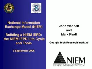
Why Geospatial in NIEM ? DHS//OCIO/GMO Mark Eustis February 10, 2006
outline • what is NIEM? • why bother? • where are we now? • where do we go from here? • who?
what Is NIEM? • National Information Exchange Model. • DoJ & DHS + allies & interested parties • Local law enforcement ! • announced 28 February, 2005. • an information sharing and data exchange standard
why bother? • Why insert geospatial to NIEM? • knowing where things are makes a huge difference • well, sure. we know that. this is the F G DC, right? • But the “boots and suits” community as a whole is just beginning to understand geospatial • information exchange (should be) a two-way street • Federal entities want for accurate information from local sources • Local & regional partners are looking for big-picture assistance • Addressing & geospatial standards in NIEM help streamline standards adoption in an emerging geospatial community • It’s easier to make an impact on the front of an adoption curve • Still, it will take time to implement through software vendors in the law enforcement/emergency services space
where are we now? • a standards-based geospatial approach inserted to NIEM • Standards content was derived or copied directly from: • analysis that generated the Geospatial View of the Department of Homeland Security’s overall Enterprise Architecture • Pilot activities in Project Homeland & an ongoing DHS//OCIO/ITEP grant • FGDC Homeland Security Working Group & Address Standards Working Group, • ISO TC/211, the Open Geospatial Consortium • and others • same standards used to construct an Information Exchange Package (IEP) for the Homeland Security Infrastructure Protection (HSIP) database
what’s next? • open information exchange? • constituent agencies in the NIEM community seek uptake of ‘local’ content • ‘local’ content providers seek input from the NIEM federal community • What drives federal uptake? • Granularity for situation awareness • What drives ‘locals’ to seek input? • grants • How do granularity & visibility translate into money? • Tighter coupling between geospatial at the ‘local’ level and Public Safety • Federal partners contribute grants to ‘local’ situational awareness systems built on NIEM standards for addressing, location, routes, etc. • NIEM-compliant systems share data with Federal partners • Federal partners share situational awareness with ‘local’ constituents
who? • Mark.Eustis@associates.dhs.gov • 202-205-5522 telephone • 443-822-3452 cell